Routes and trips
 Map
Map MPR - cyclist-friendly places
 POI
POI Plan your trip
 Bike counters
 Publications
 News
News Route concept
 Contact
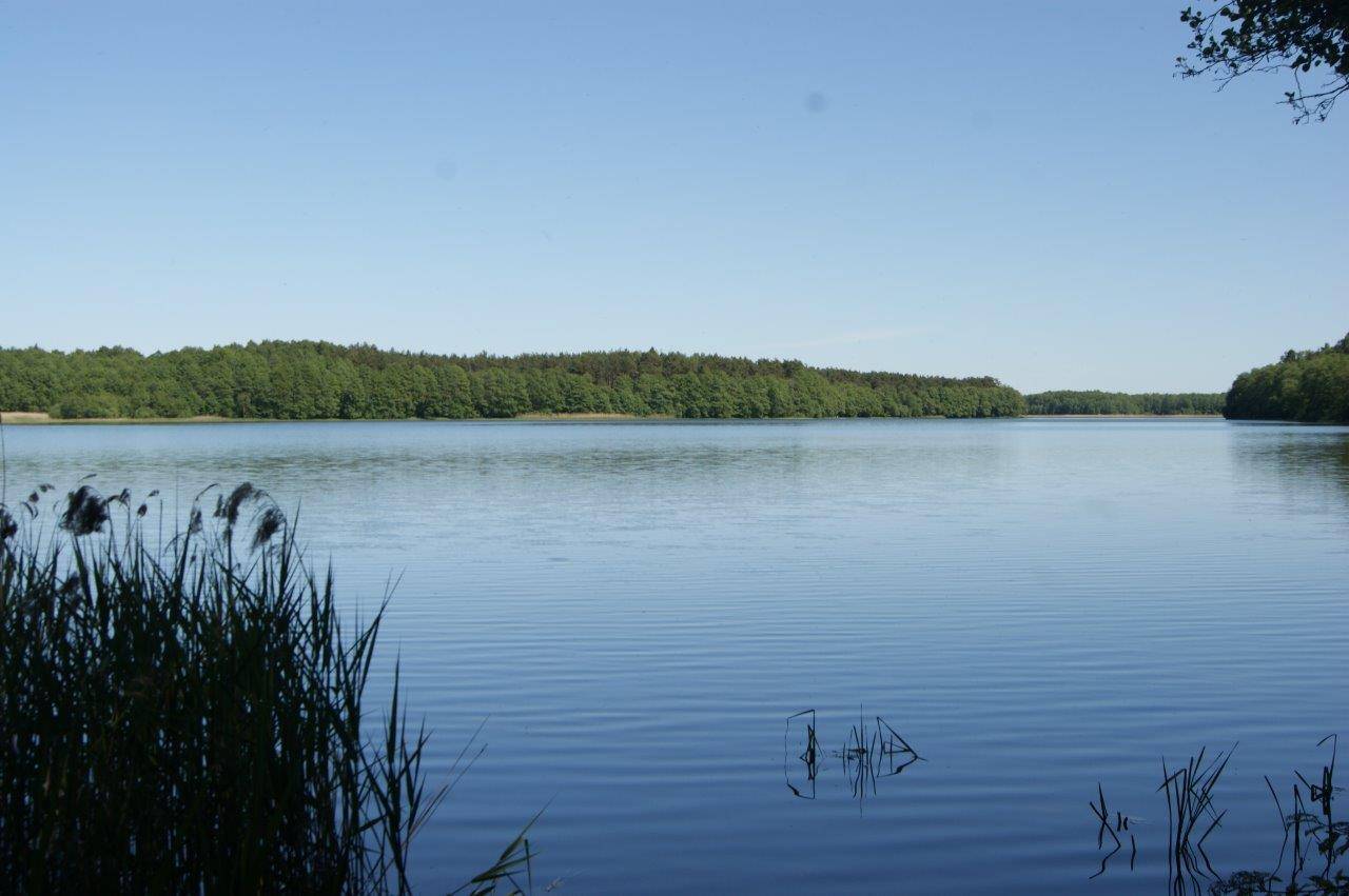
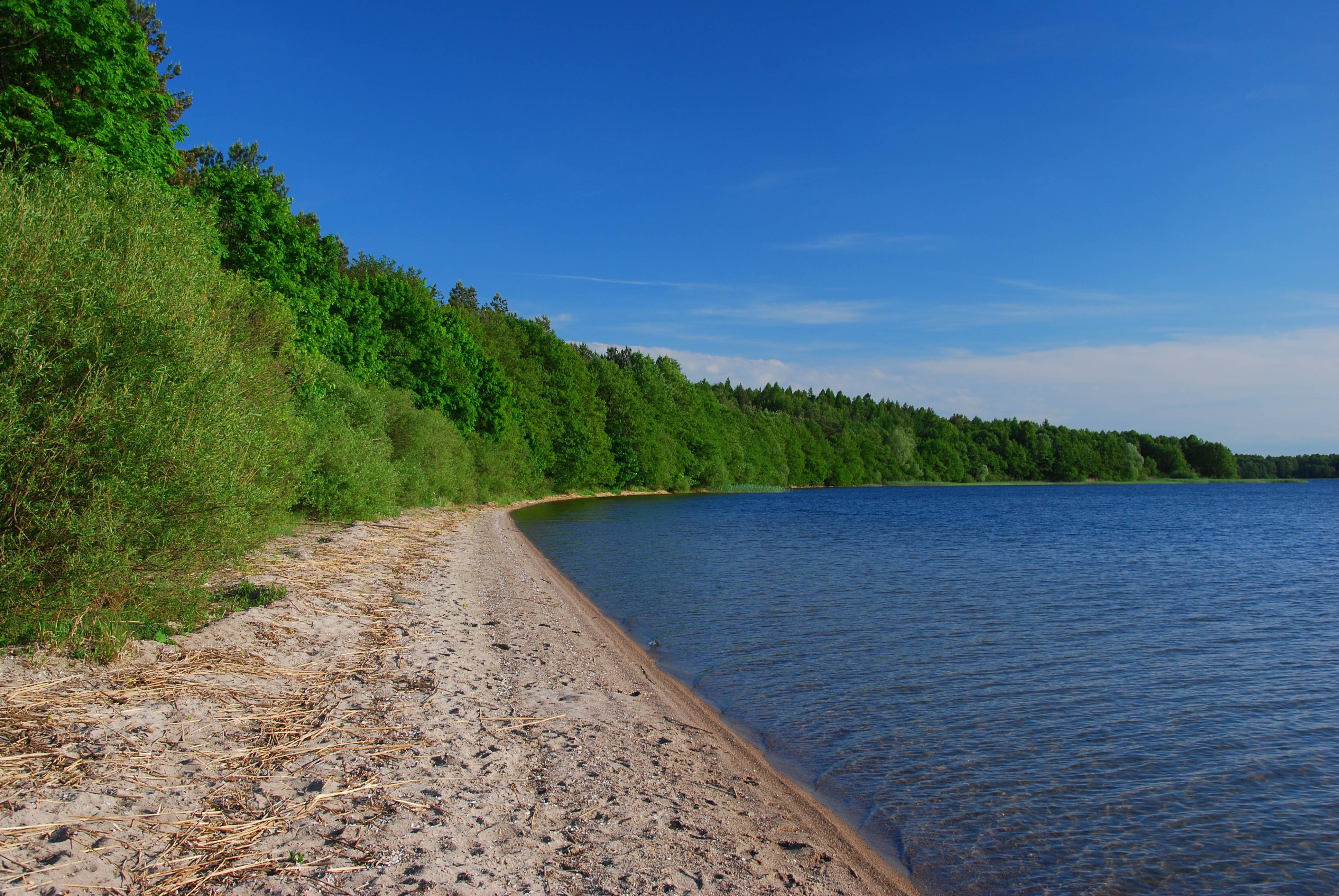
 Lake Wierzchowo
 Lake Wierzchowo covers an area of 731 ha, with a length of 5.2 km and a width of 2.2 km. Its maximum depth reaches 25 m, while the water level is at an elevation of 139 m above sea level. The lake’s shoreline is varied—for example, in the western part there is a significant narrowing of the basin, resulting in the formation of a large bay near the village of Wierzchowo. In some places, the shores are steep, while in others they slope gently down to the lake, forming small beaches. The most common fish species include whitefish, vendace, pike, eel, perch, and bream. The lake lies along the course of the Gwda River, which flows out of it, and the so-called Szczecinec Loop.

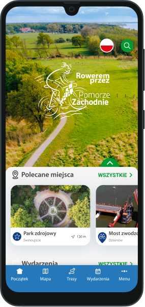

You will not get lost on the route with us! In our application you will find a detailed map of routes and excursions, interesting places and events, 360 panoramas and much, much more!