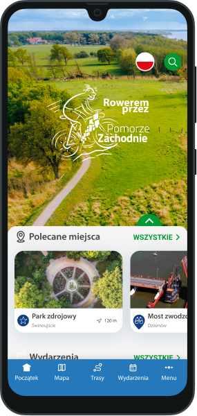
 Routes and trips
 Map
Map MPR - cyclist-friendly places
 POI
POI Plan your trip
 Bike counters
 Publications
 News
News Route concept
 Contact
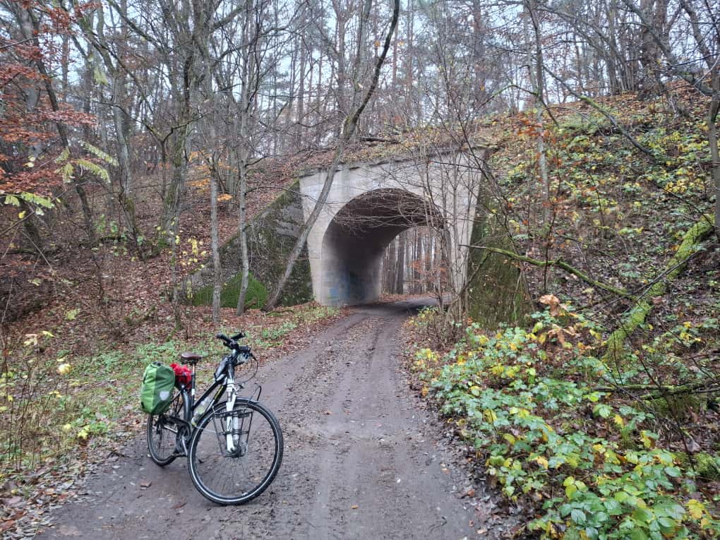
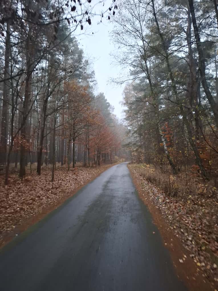
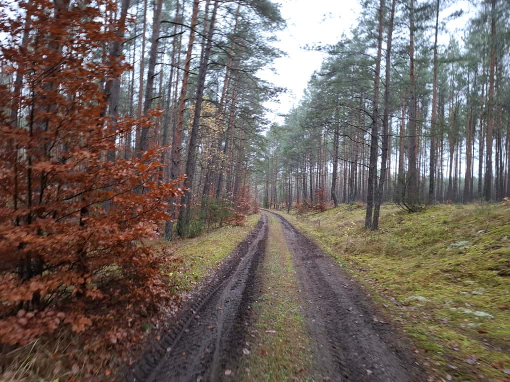
The route mainly runs through vast forest complexes, largely along fire roads and local roads with little traffic. Due to the predominantly unpaved and gravel surface, this is a difficult and demanding section. For those who value comfort and ease of riding, we recommend the Old Railway Trail cycle route (Wałcz - Kołobrzeg or its connecting route via Koszalin to Mielno), which mostly runs on asphalt and former railway embankments. Full description in the route tab: Old Railway Trail
Video material from the Old Railway Trail route: Old Railway Trail
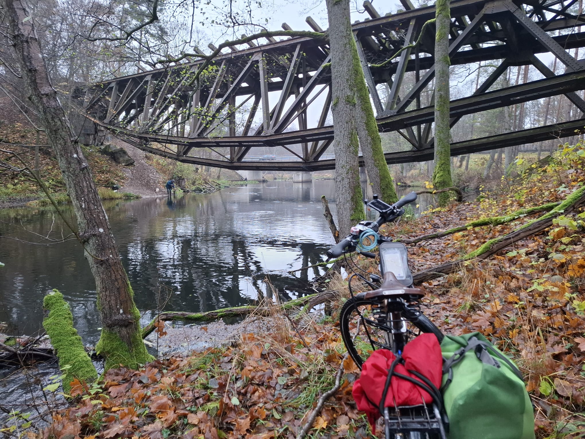
On this route, you should be aware that some sections of forest roads may be temporarily damaged due to forestry work (locally and periodically). In two places, the route briefly coincides with a road with fairly heavy traffic – including at DW189, before the railway bridge/bridge over the Gwda River near Jastrowie (approx. 800 m). This section can be partially bypassed by a little-used forest path.
There are also two 300-500 metre long sandy sections:
between Ubiedrze and Karsina, along the Chociel River (a tributary of the Radwia),
behind the bridge over the Gwda River next to the Owadogigant Park in Lubnica, north towards the first intersection.
In addition, a few hundred metres before the village of Żółtnica (when travelling from the south), it leads along a little-used forest path.
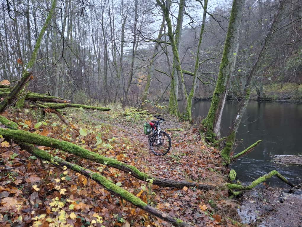
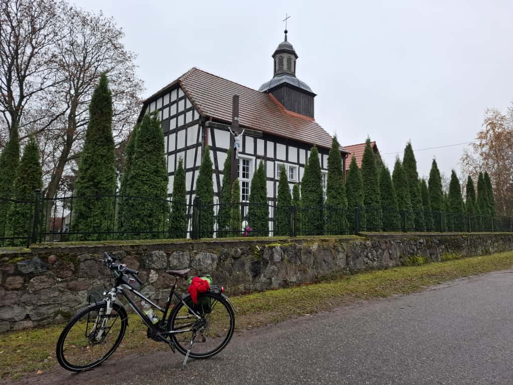
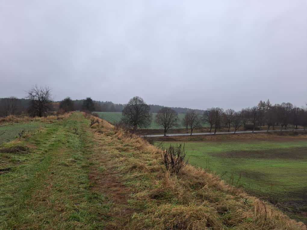
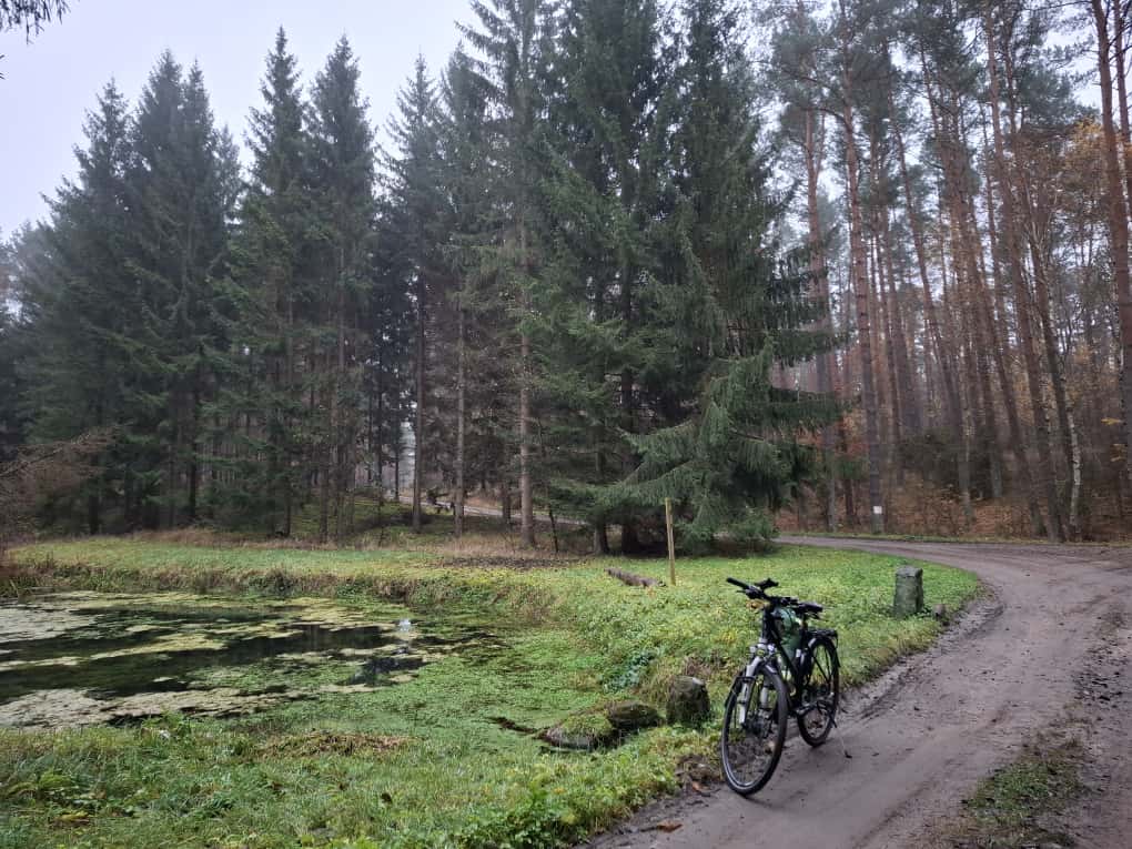
Apart from that, the entire route offers the silence of the forest, the tranquillity of the small towns you pass and picturesque places crossing the Gwda River (a popular canoeing trail) and the Radew River near the town of Kępiste.


