Routes and trips
 Map
Map MPR - cyclist-friendly places
 POI
POI Plan your trip
 Bike counters
 Publications
 News
News Route concept
 Contact
 Obelisk in the Center of Drawsko County
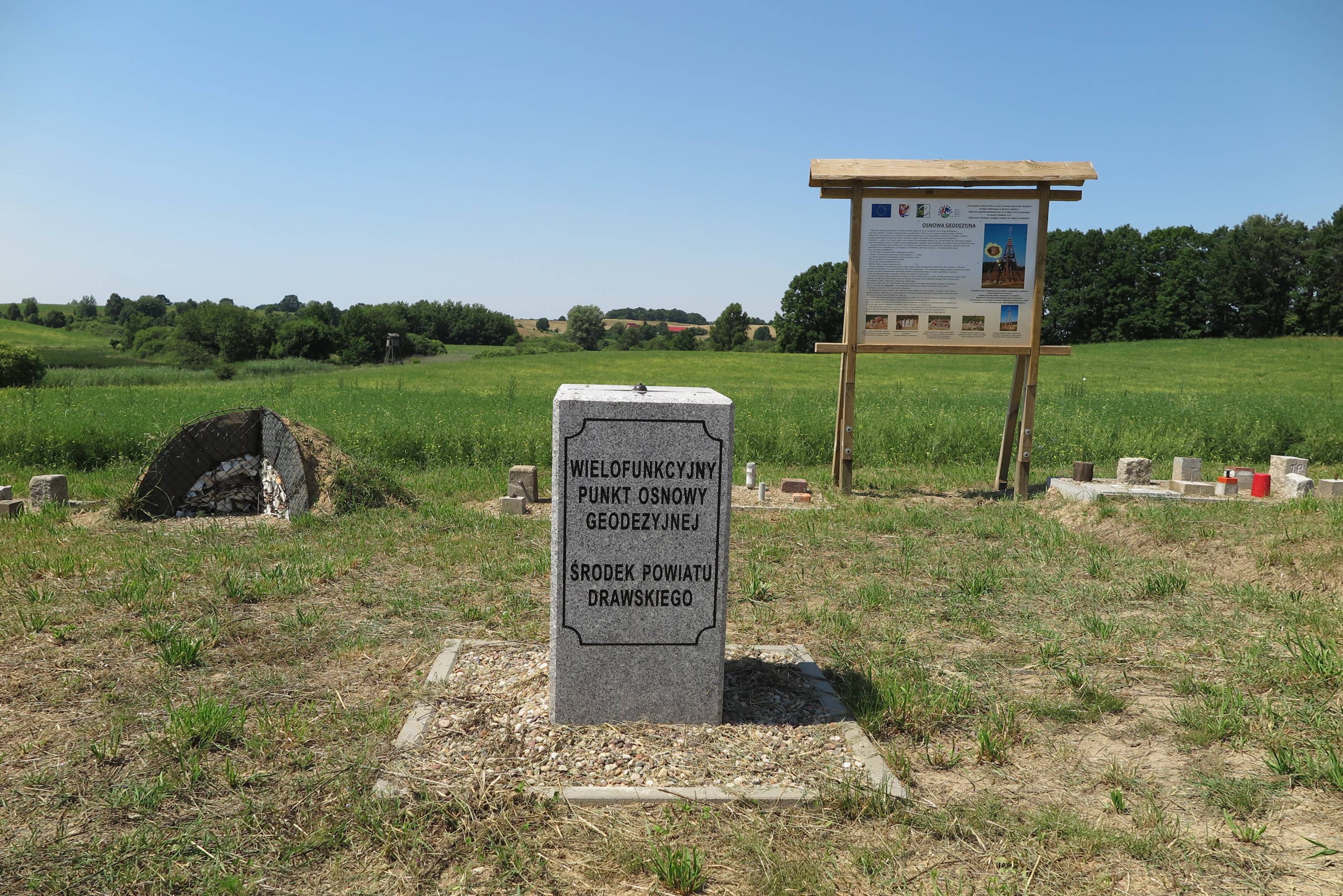
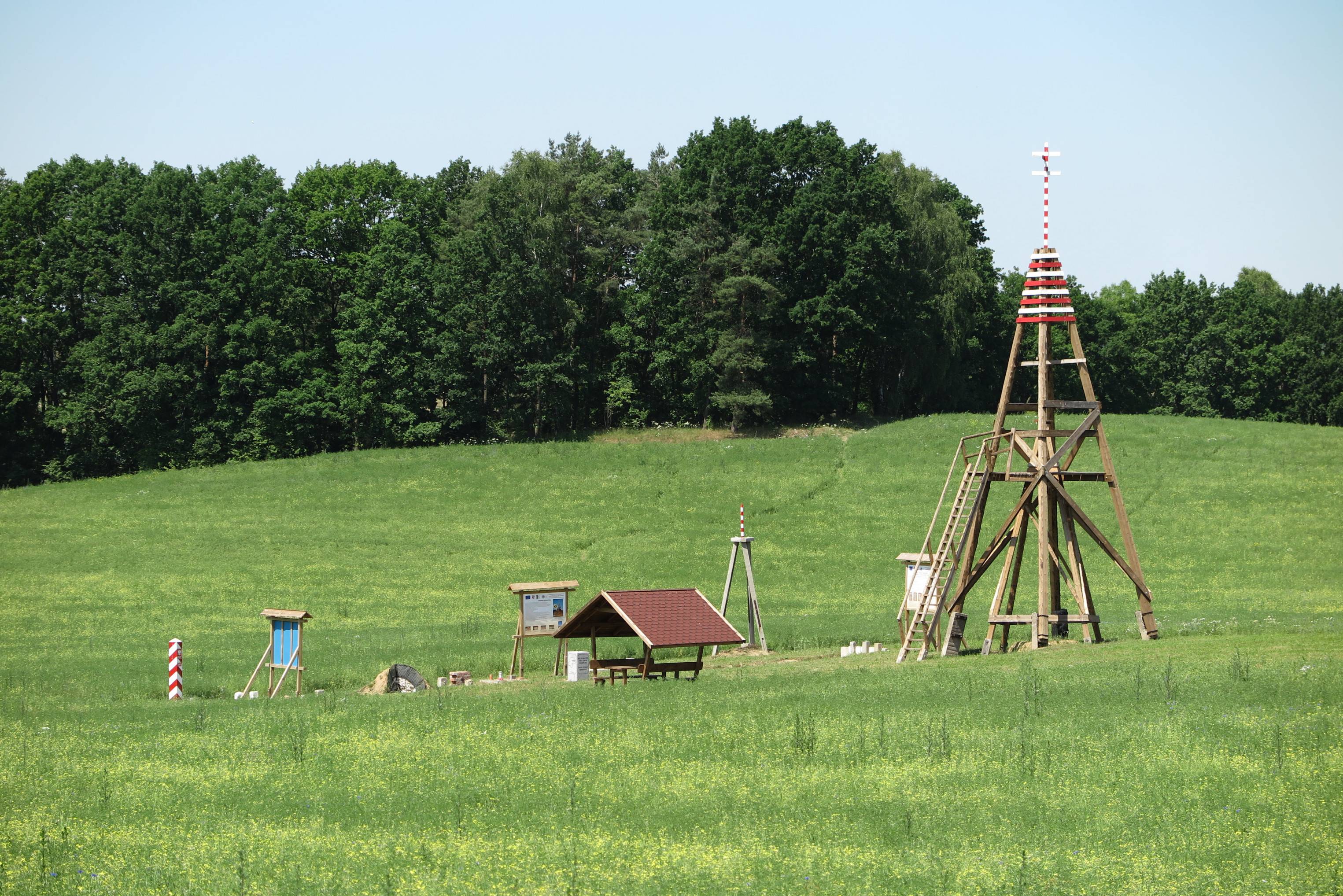
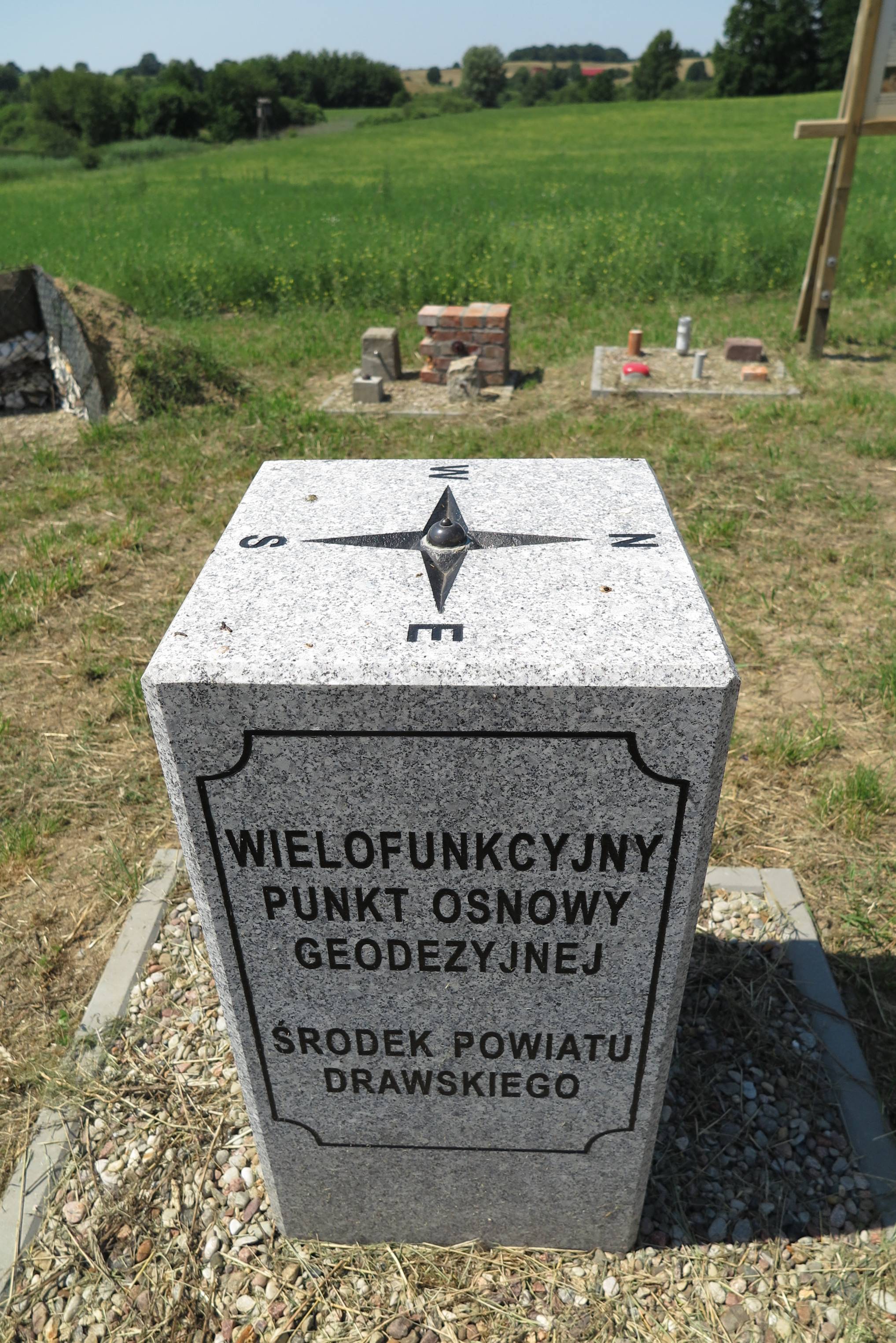
 The obelisk is located in the center of the Drawsko County. The site was determined through mathematical calculations. A group of enthusiasts came up with the idea to create this geodetic educational site. On September 15, 2012, a 1,000-kg granite pillar was erected here. It protrudes 90 cm above the ground and is embedded 110 cm into the ground. It has a cross-section of 40 by 40 cm. At the top is a compass rose that precisely indicates the cardinal directions. On the side walls, you can see the county’s coat of arms, the plane and geographic coordinates of the point, a map of the county with the center marked and the inscription “STAWNO,” as well as the inscription: “Multifunctional geodetic control point—center of Drawsko County.” As part of the educational site, informational panels have also been installed about geodetic control points, county boundaries and boundary markers, as well as the origin and implementation of the “county center” concept. In addition, examples of stabilization using various geodetic markers have been displayed, along with cross-sections of the foundations for geodetic markers with a sub-center and a triangulation tower, which also serves as an observation point. Furthermore, a table with benches has been set up for visitors to this interesting site.
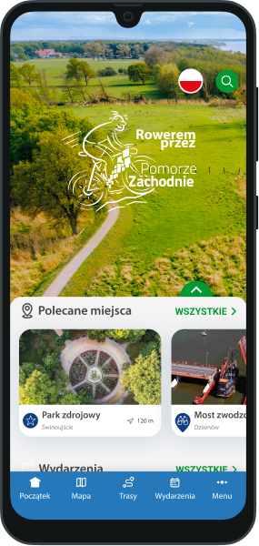

You will not get lost on the route with us! In our application you will find a detailed map of routes and excursions, interesting places and events, 360 panoramas and much, much more!