 Routes and trips
 Map
Map MPR - cyclist-friendly places
 POI
POI Plan your trip
 Bike counters
 Publications
 News
News Route concept
 Contact
“Manufacturing and Munitions” Bicycle Route, developed by Berlin Center for Industrial Heritage. industriekultur.berlin
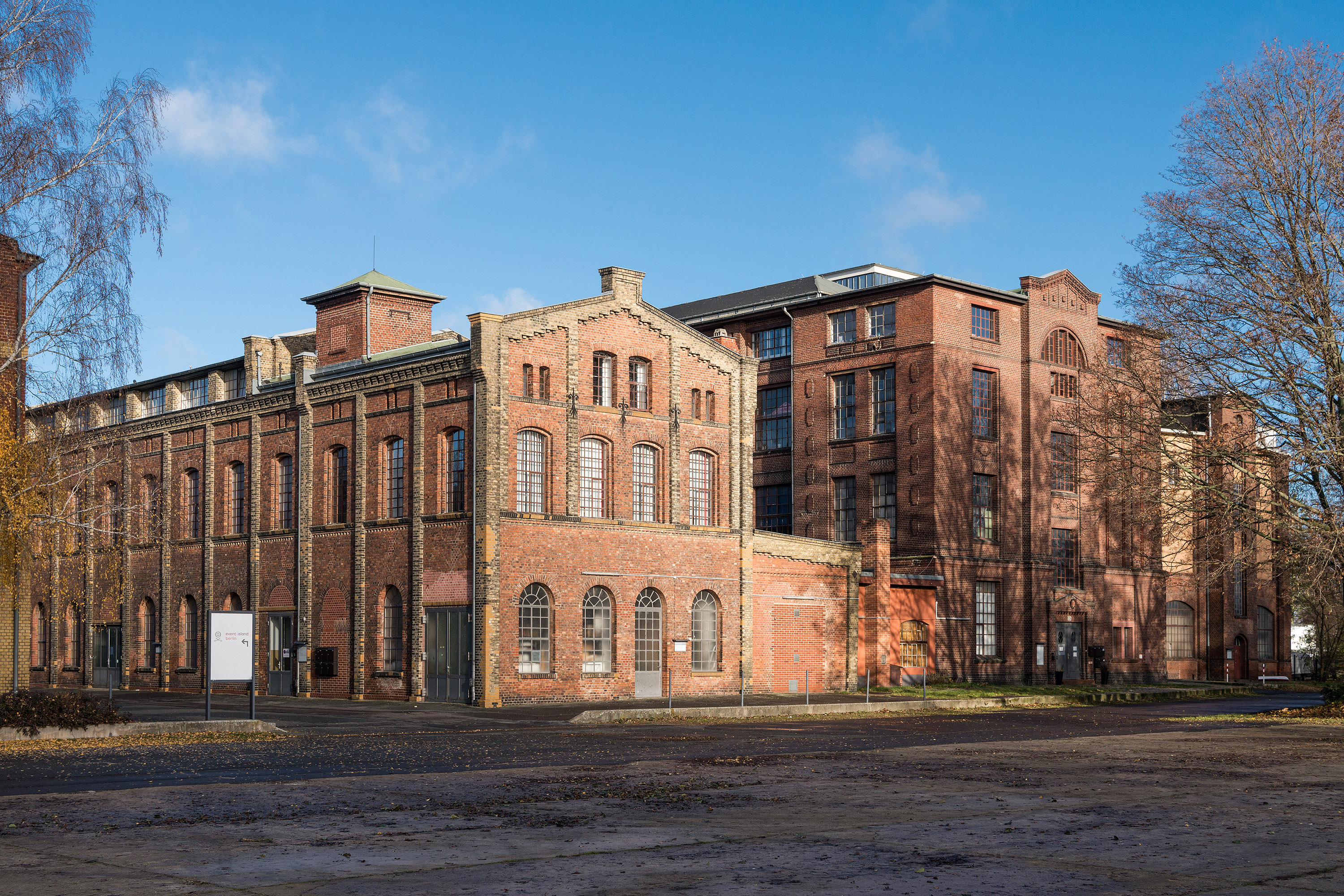
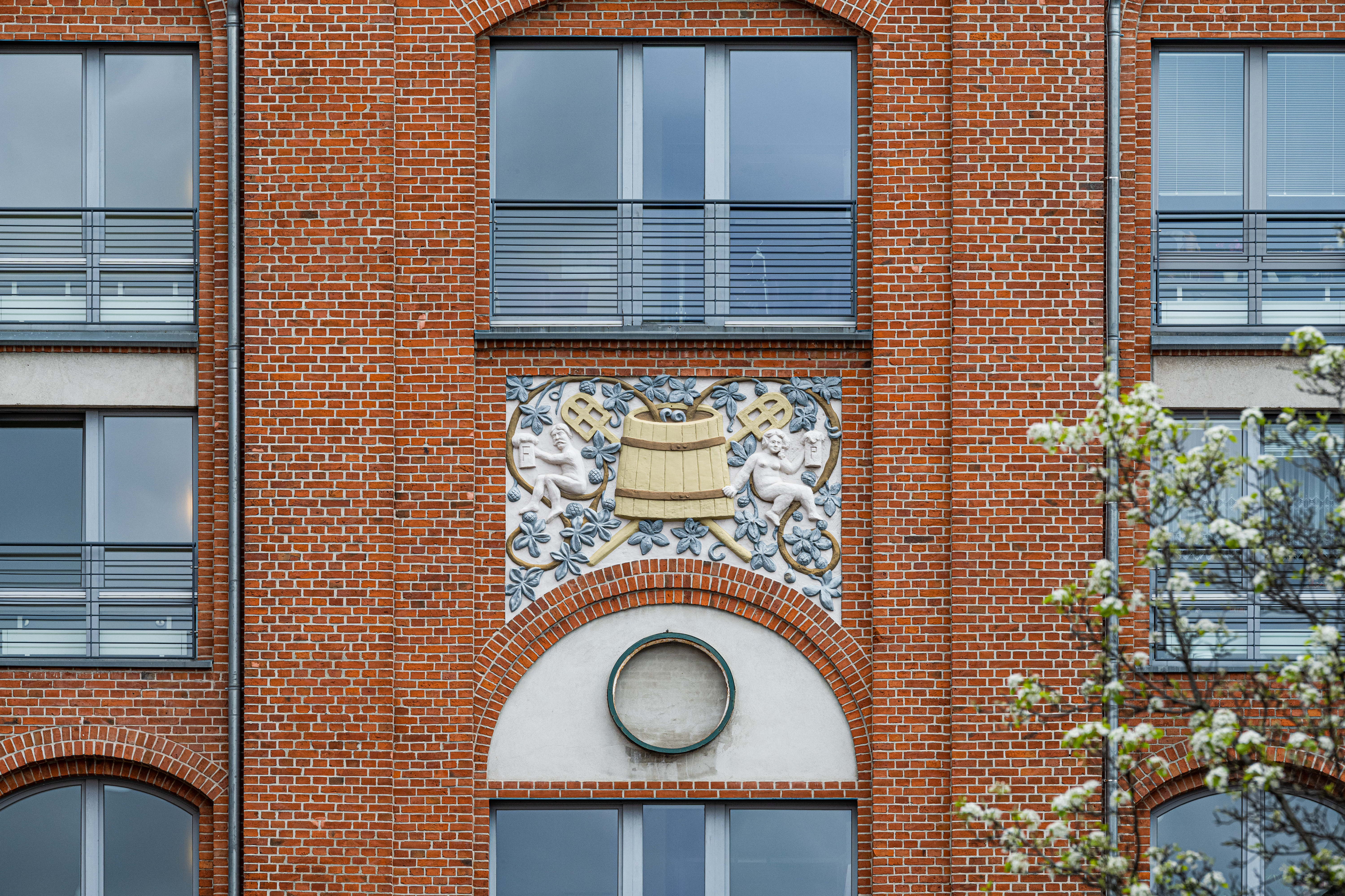
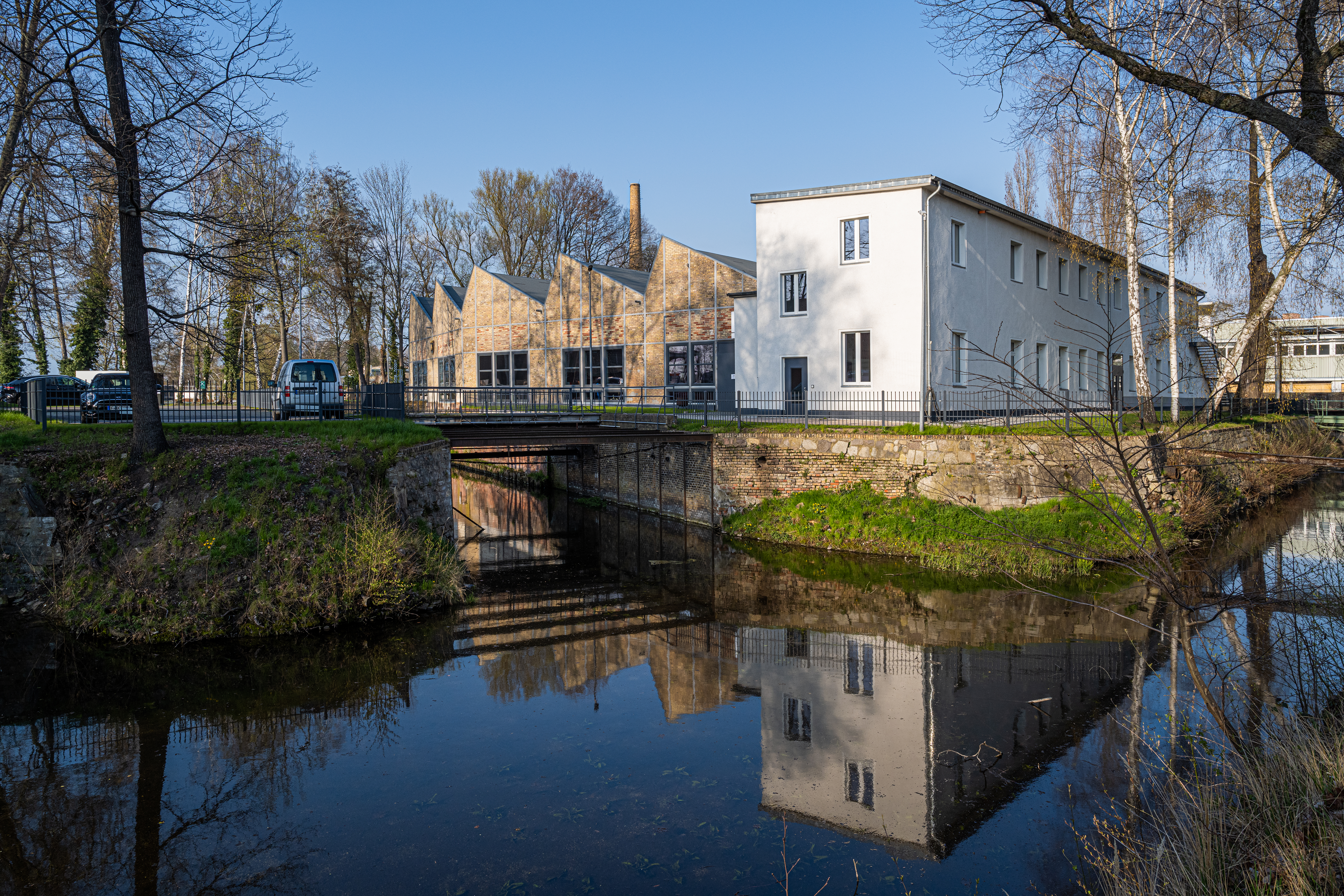
With the opening of a rifle factory in 1722, Spandau began developing into the center of the Prussian armaments industry. Little by little, the Prussian government moved its munitions productions from the capital of Berlin to Spandau. The fortifications of its Citadel provided good protection for the secret production of military technology. Over the centuries, Spandau developed into an army center and fortress city. By the end of the 18th century, nearly half the population had ties to the military.
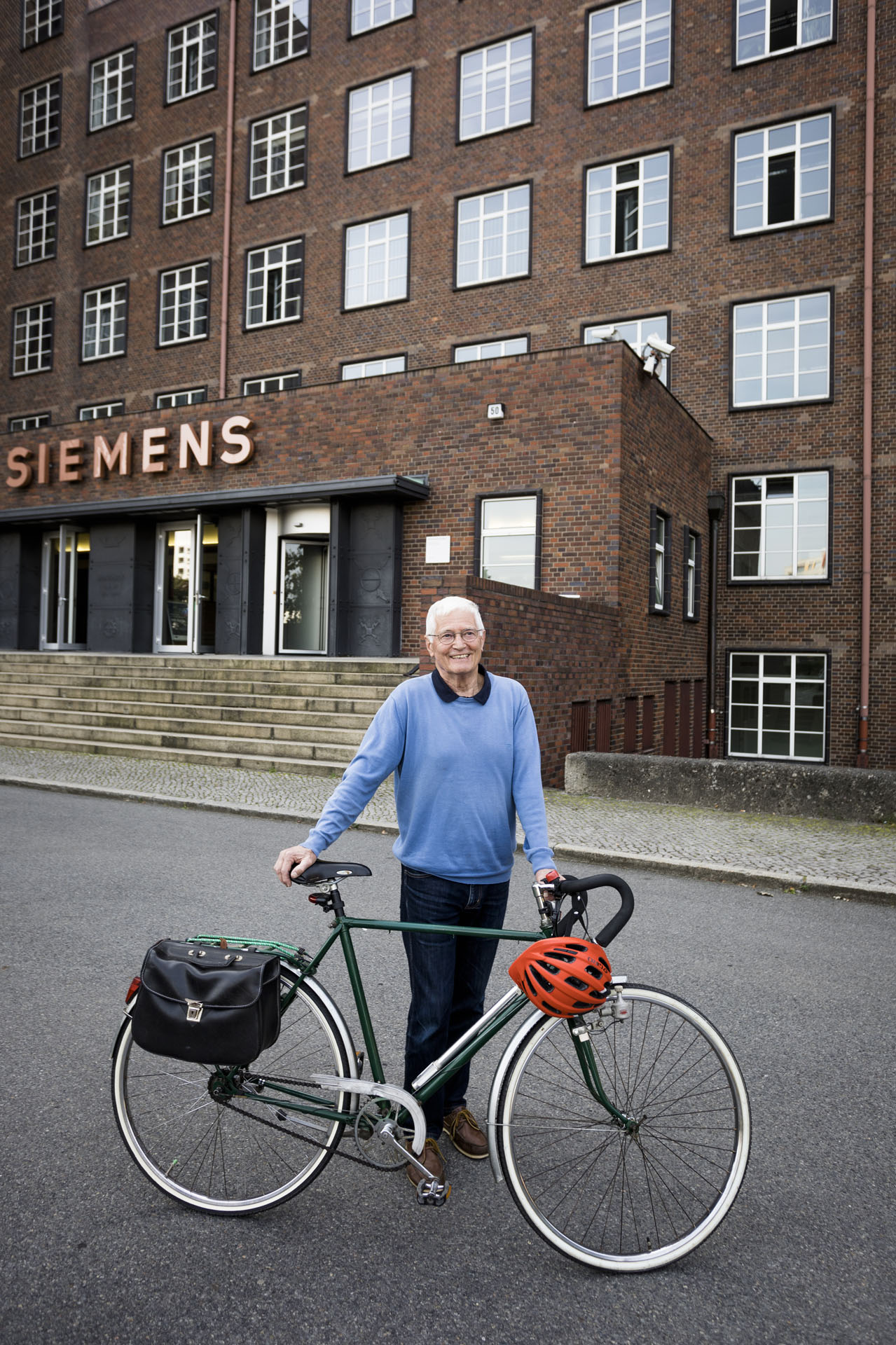
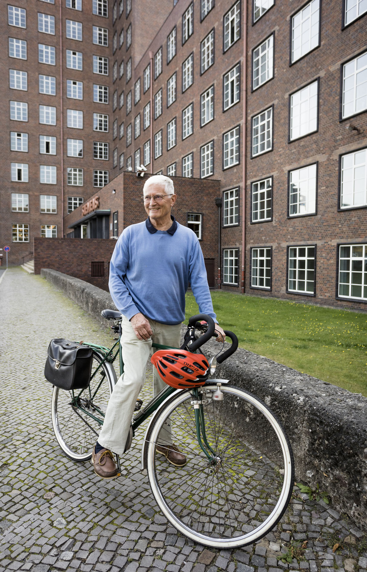
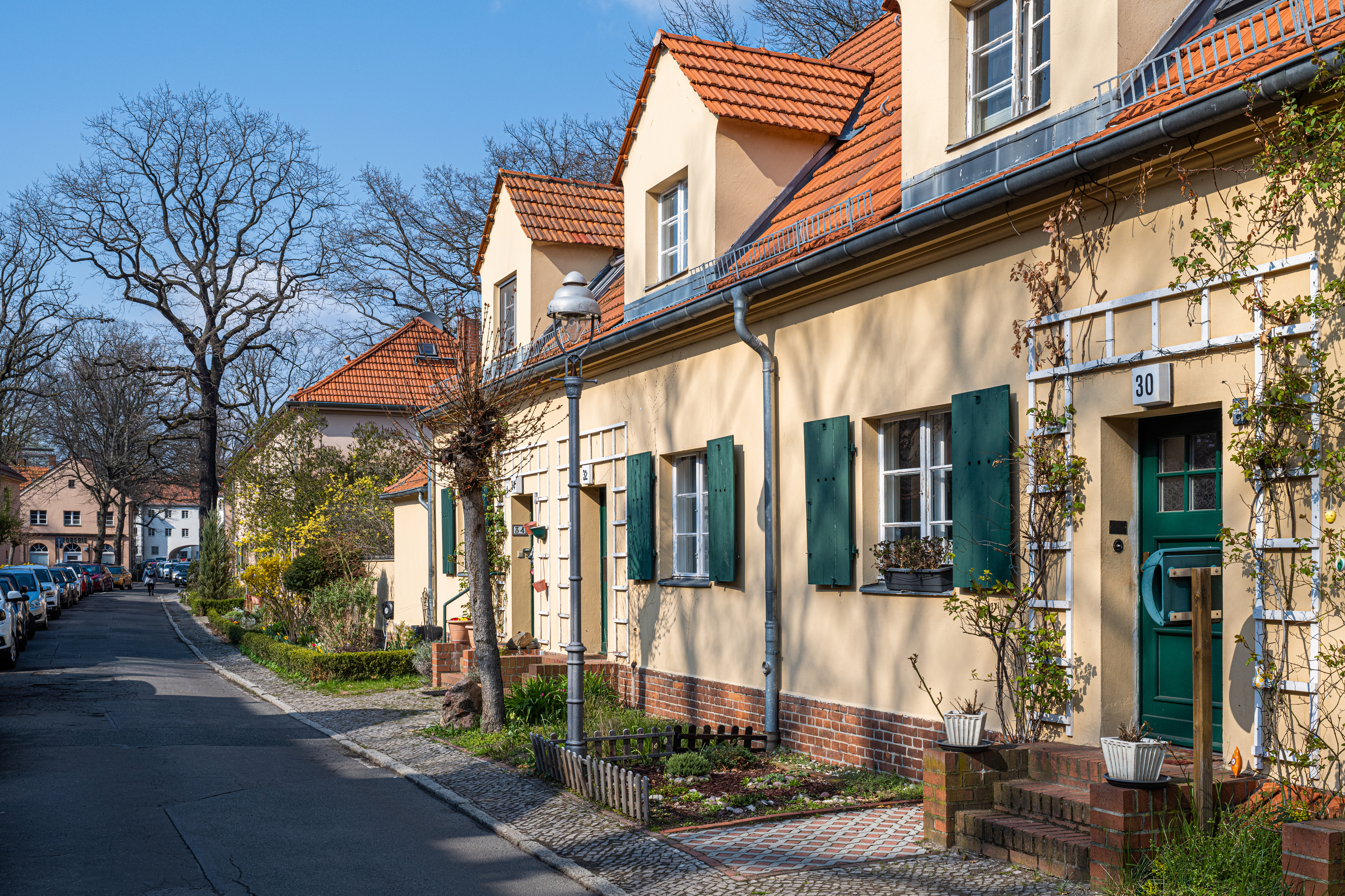
In the early 20th century, massive new industrial companies sprang up. Businesses migrated from Berlin’s center to the city’s outskirts and beyond. Siemens moved from downtown Berlin to what was then the independent city of Spandau, which ony became part of Greater Berlin in 1920. A new neighborhood grew up around the factories: Siemensstadt. It featured modern housing developments and recreational offerings. Just as AEG commissioned buildings from Peter Behrens, Siemens had its own company architects. First, Karl Janisch designed industrial and residential buildings. His successor Hans Hertlein created two architectural styles: a cozy design for residential and recreational structures, and the sober, functional style that became the face of Siemens’s industrial buildings. From 1915 to 1951, Hertlein’s architecture shaped the industrial metropolis of Berlin.


