 Routes and trips
 Map
Map MPR - cyclist-friendly places
 POI
POI Plan your trip
 Bike counters
 Publications
 News
News Route concept
 Contact
“Railroads and Runways” Bicycle Route, developed by Berlin Center for Industrial Heritage. industriekultur.berlin
Without modern transportation infrastructure, the metropolis of Berlin and its diverse industrial history would be unthinkable. First, canals and railroad tracks crisscrossed the city. Then came airfields and automobile traffic. In 1838, the Berlin-Potsdam Railway opened as the first train line in Prussia.
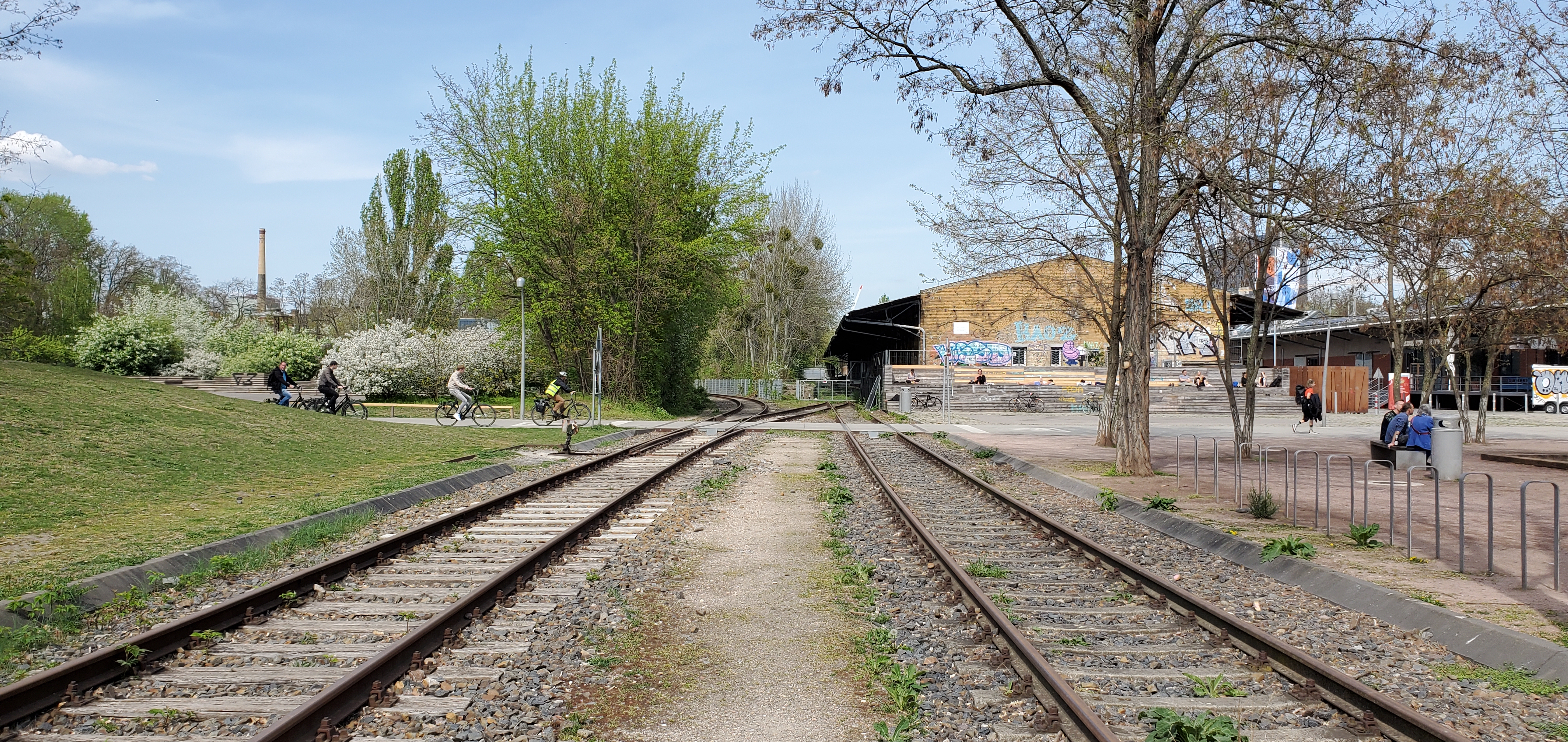
In 1841, the Anhalter Bahnhof train station was built near Potsdamer Platz. Urban neighborhoods grew up around train stations. Railways expanded enormously, as illustrated by the massive railyard around Gleisdreieck. The rail network became essential to provisioning the city’s population. In 1906, Tempelhofer Hafen (Tempelhof Harbor) and the 40-km Teltow Canal opened just outside the city limits. An industrial strip took shape on the canal’s banks, stretching from Tempelhof Harbor to Teilestraße. An endless string of barges brought building materials, coal, and other resources into the city.
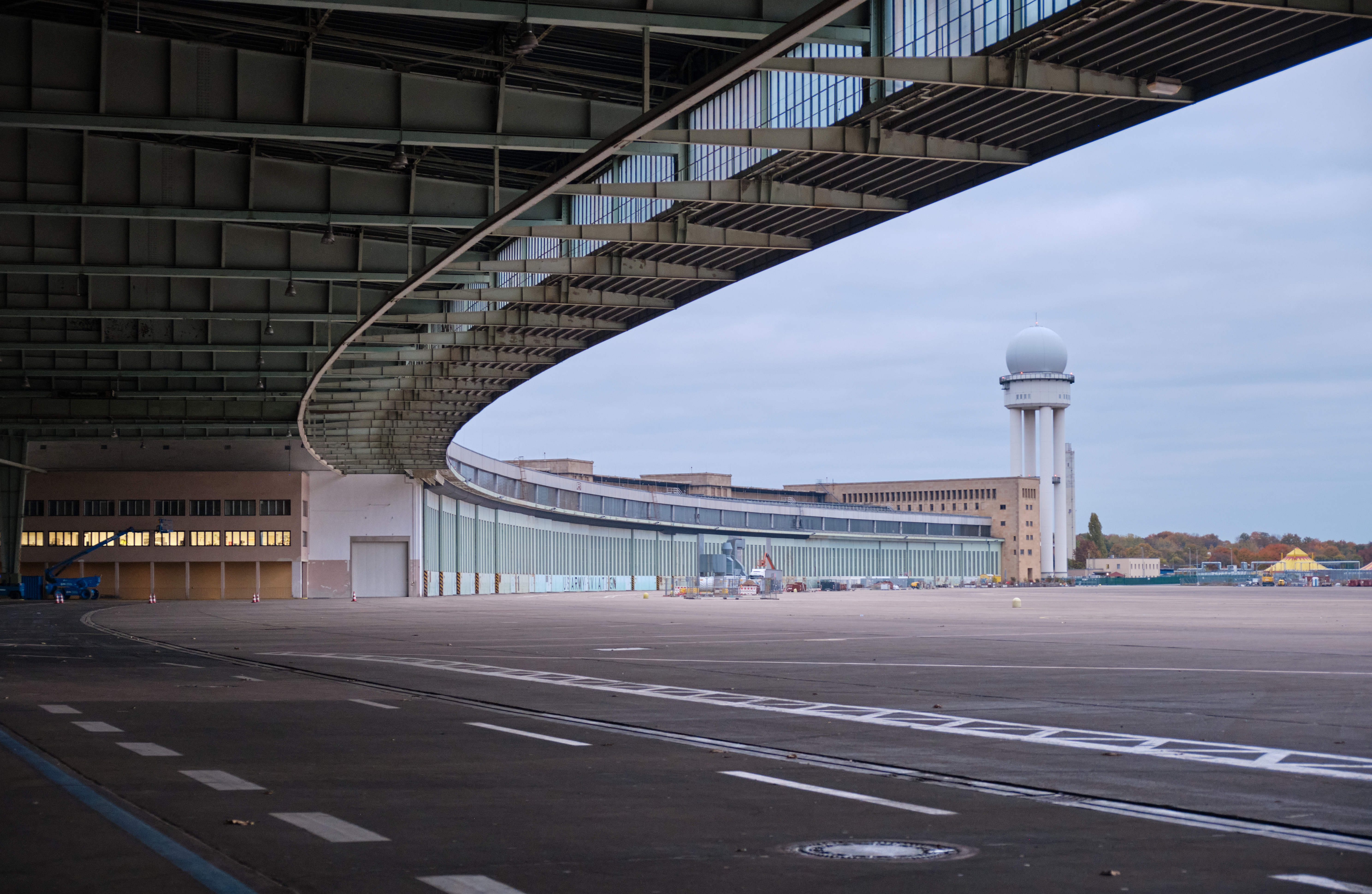
In 1923, Tempelhof Airfield opened to civil aviation. One year later, night flights with postal cargo were attempted. In the 1930s, Berlin had more passengers than Paris or London. In terms of comfort, speed, and range, airplanes were now the kings of transportation. Another technological innovation that transformed everyday life was private motorized transport. During the economic miracle of the 1950s, the automotive sector experienced a boom. The A100 city expressway was built as the heart of West Berlin’s highway network.


