 Routes and trips
 Map
Map MPR - cyclist-friendly places
 POI
POI Plan your trip
 Bike counters
 Publications
 News
News Route concept
 Contact
The name Łasztownia (Latin Lastadia) derives from the Latin words lastagium, lestagium, lastadium. They determined the weight of the load. In the 14th century, laszt (last) became a commonly used measure of cargo carried by ships. It was also used to provide quantities of loose goods, mainly grains.
Knowing the etymology of the name, it is easy to guess its purpose. However, it was used for port purposes from 1283. Originally, the island was much smaller. It can be said that it was a coastal clump opposite the present Long Bridge.
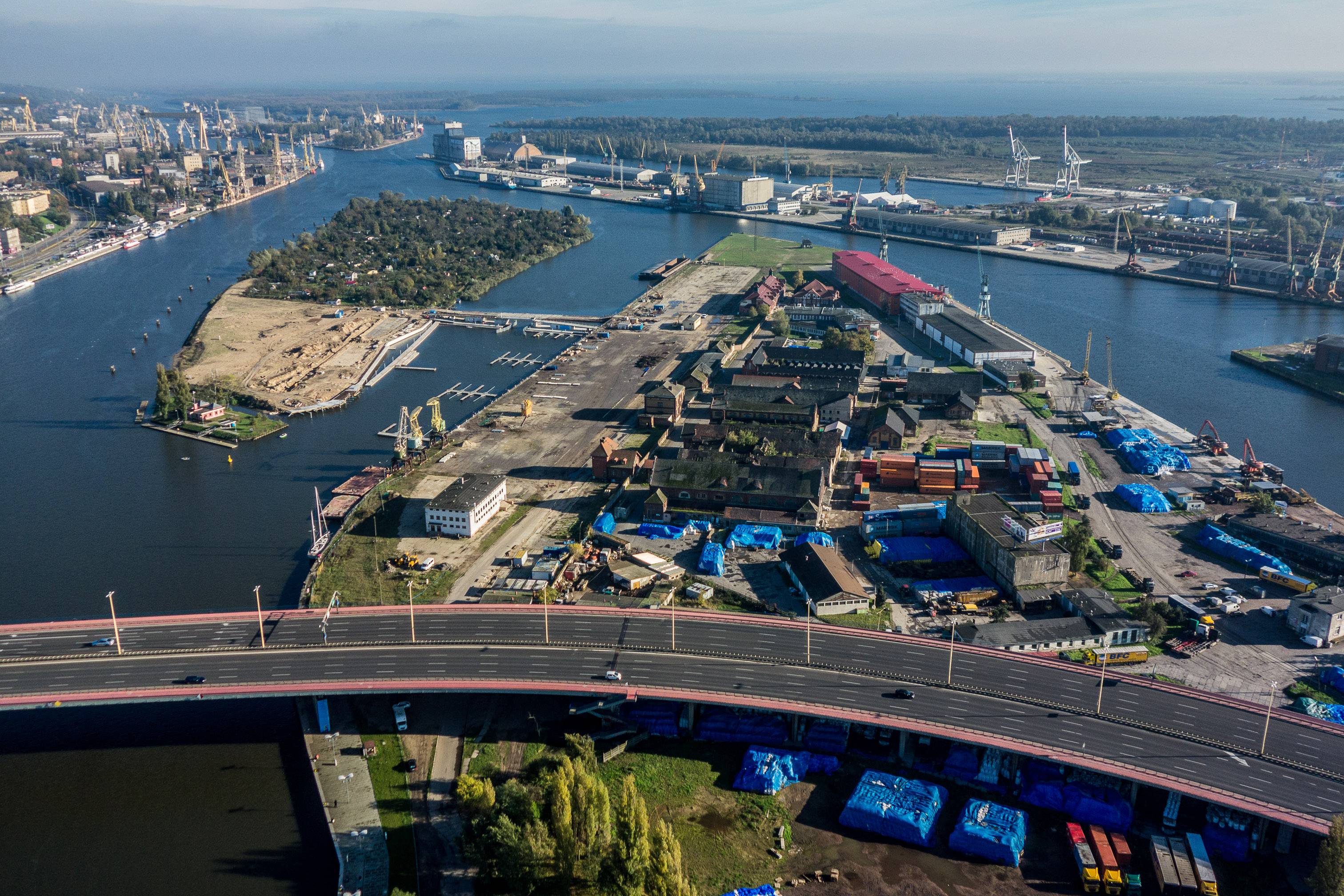
Today's Łasztownia was situated on the route leading from Dąbie to Szczecin. In the aforementioned 1283, Szczecin acquired the rights to the island. The purchase was dictated by the dynamically developing commercial port and the related increased movement of goods. The city needed new land for expansion. Wooden quays and platforms for loading and unloading goods were built on the island. There were also a loading crane, granaries and warehouses for other goods.
The further dynamic development of the port resulted in the occupation of another island. The fourteenth-century springs already refer to all the islands north of Parnica as Łasztownia. Individual areas of Łasztownia were specified, with the name of the plant added to the main one, e.g. Łasztownia Shipyard built in 1500 (schippbuwer lastadie). In the 17th century, Łasztownia was considered a strategic point, and therefore it was surrounded by earth ramparts. They were built along the present Gdańsk Boulevard and Władysława IV Street. In 1727, stone gates were built: Parnicka and Kozia. In the nineteenth century, the fortifications were deemed unnecessary and were therefore pulled down.
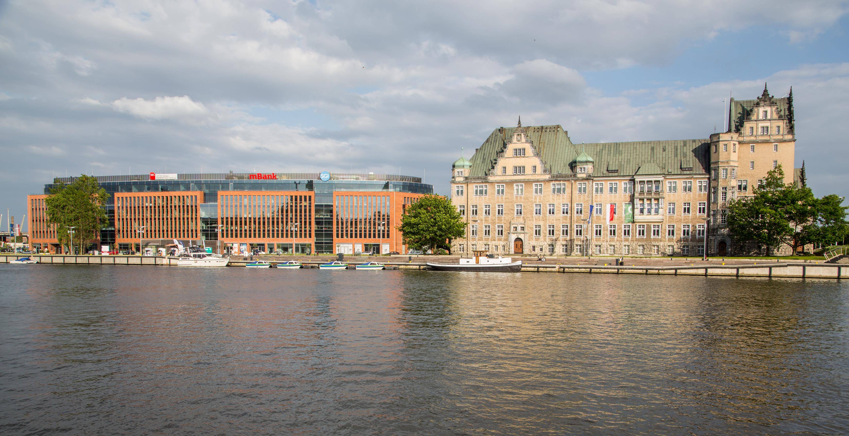
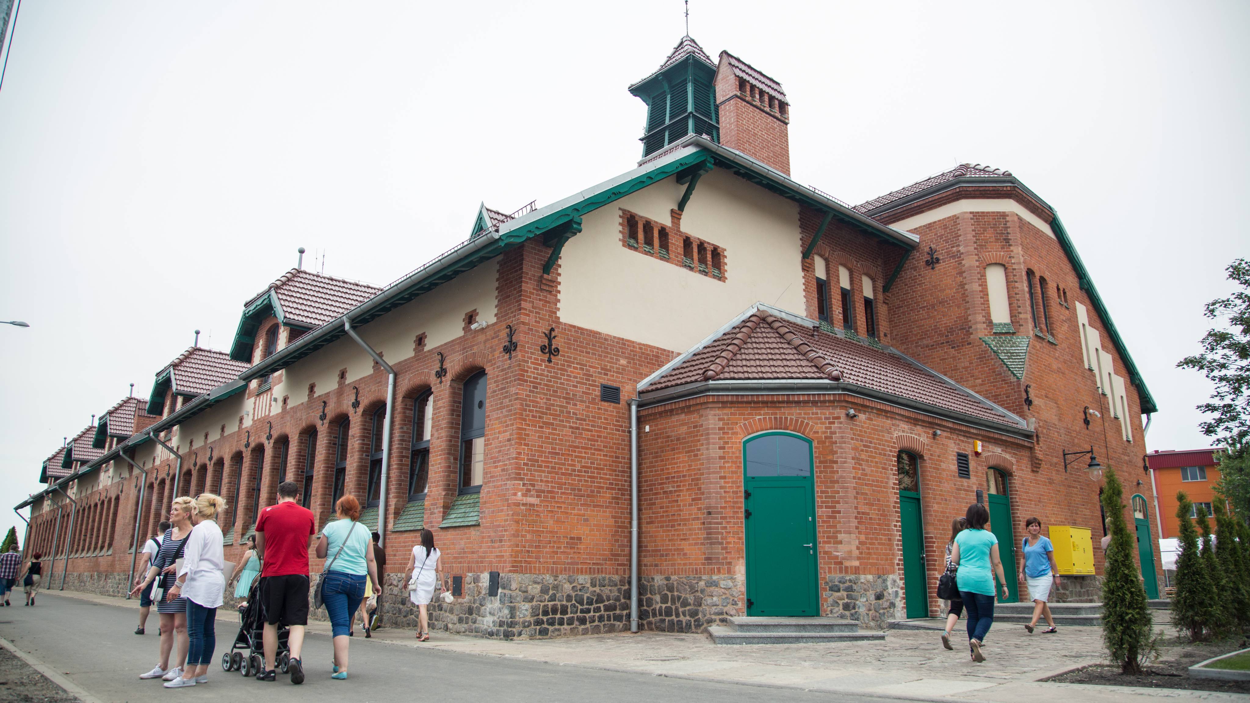
The currently preserved street layout dates from the first half of the 18th century and is associated with the reorganization of the Łasztownia area during the reign of the Prussian king Frederick William I. At the turn of the 19th and 20th centuries, most of the 18th-century buildings were replaced with new, Art Nouveau buildings. Due to the housing hunger, tenement houses for workers were built on the hitherto port island. Factories and production plants were also built, such as a sugar factory (currently Przedsiębiorstwo Przemysłu Cukierniczego "Gryf" S.A.).
During the Second World War, Łasztownia was bombed during regular Allied air raids (1942-1944). After the war, Łasztownia was dynamically developed by companies related to the sea. They have their headquarters here, among others Polska Żegluga Morska, Żegluga Szczecińska or the Customs Office. Some of the buildings created during the construction boom are currently empty. They attract cultural events such as outdoor performances and music festivals.
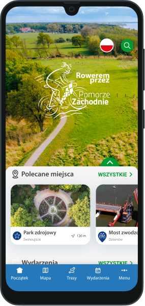
You will not get lost on the route with us! In our application you will find a detailed map of routes and excursions, interesting places and events, 360 panoramas and much, much more!


