 Routes and trips
 Map
Map MPR - cyclist-friendly places
 POI
POI Plan your trip
 Bike counters
 Publications
 News
News Route concept
 Contact
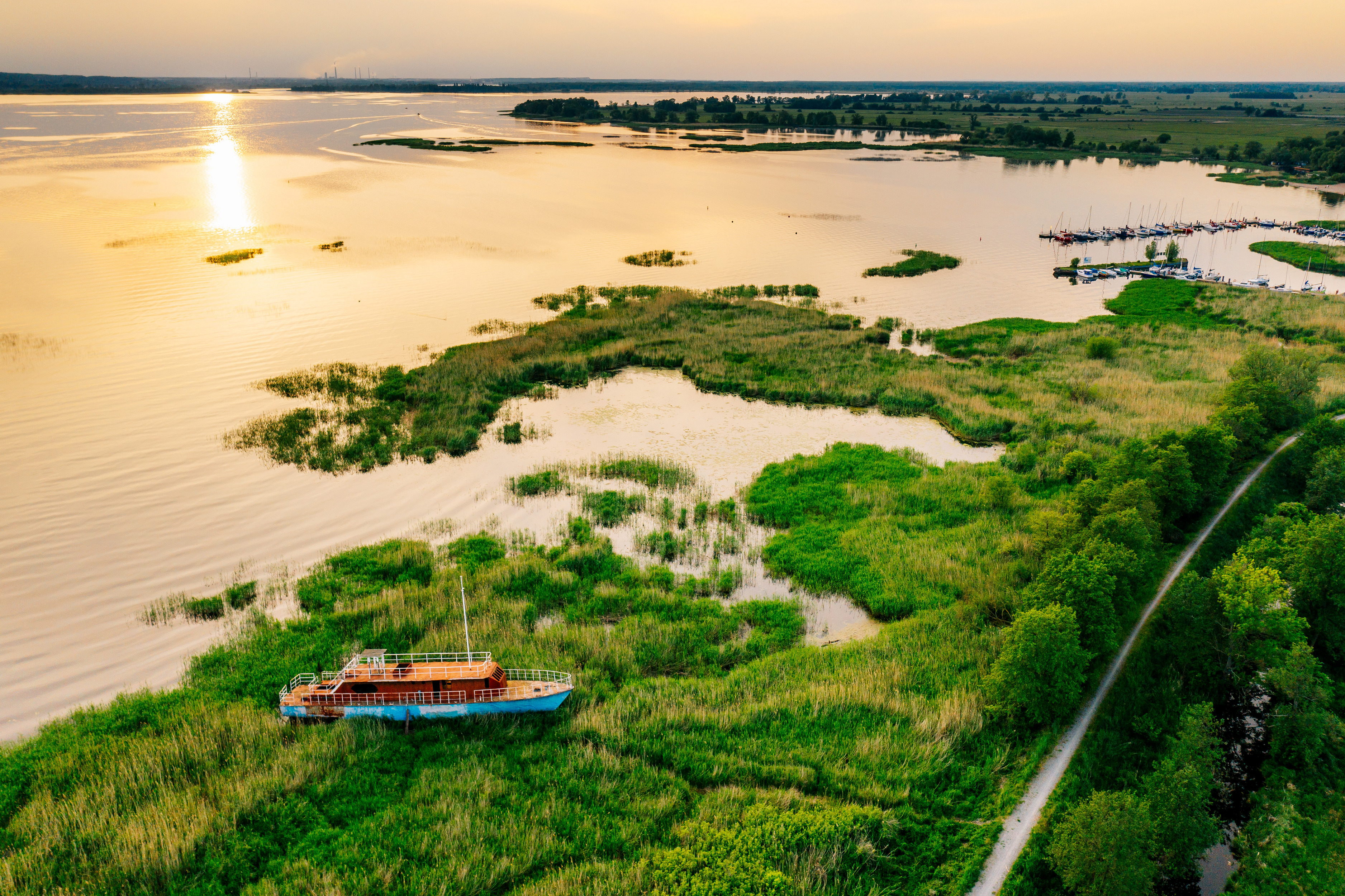
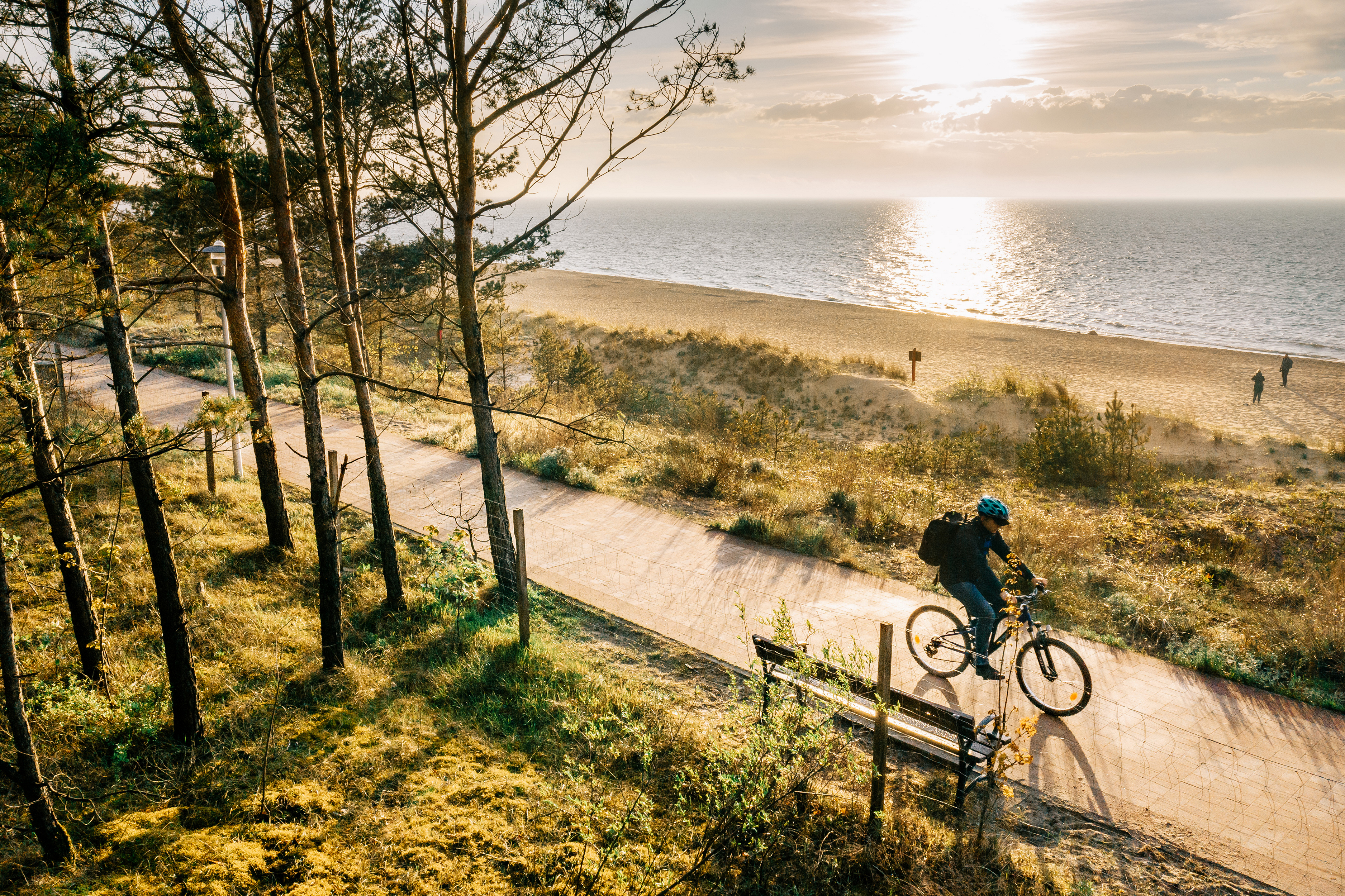
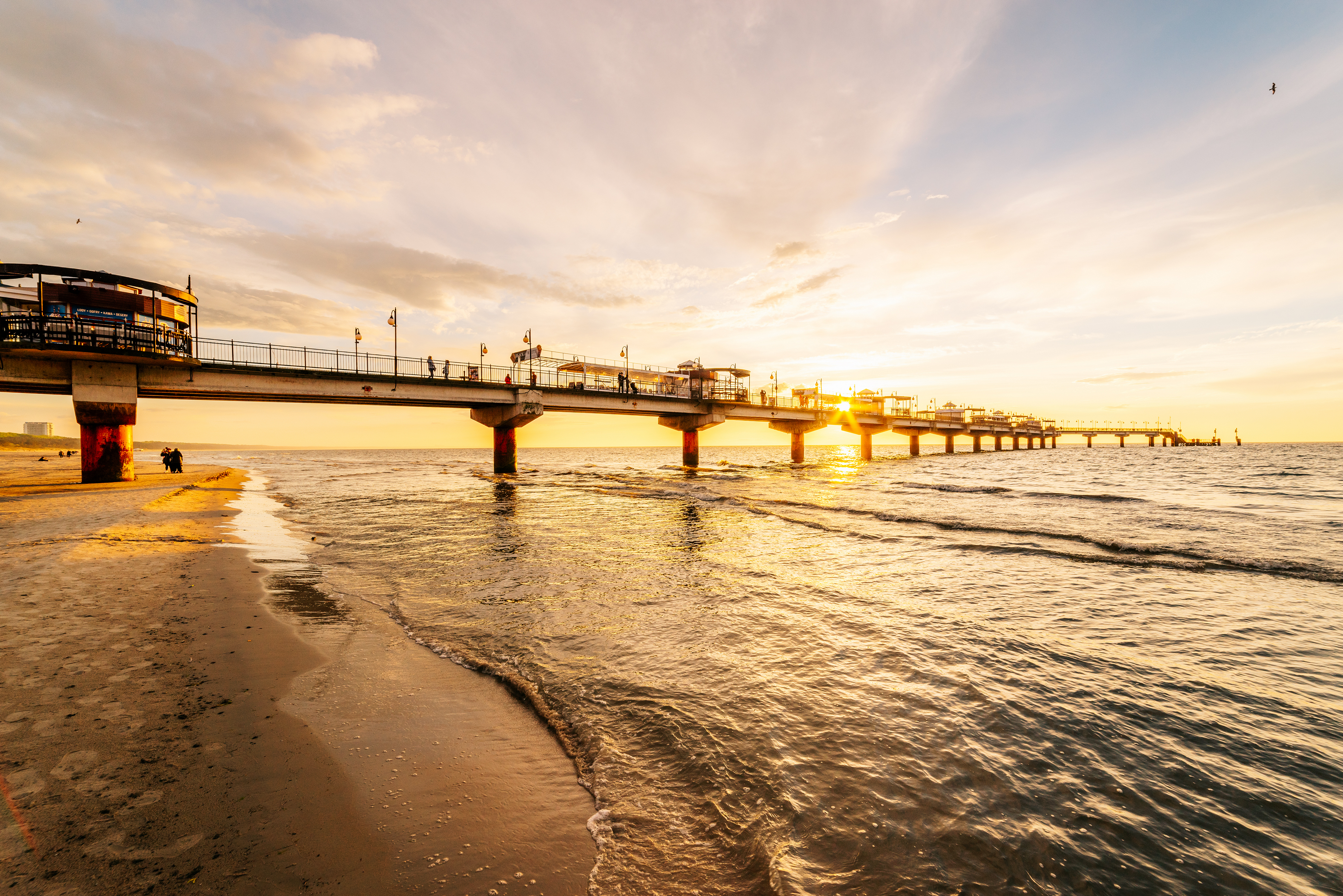
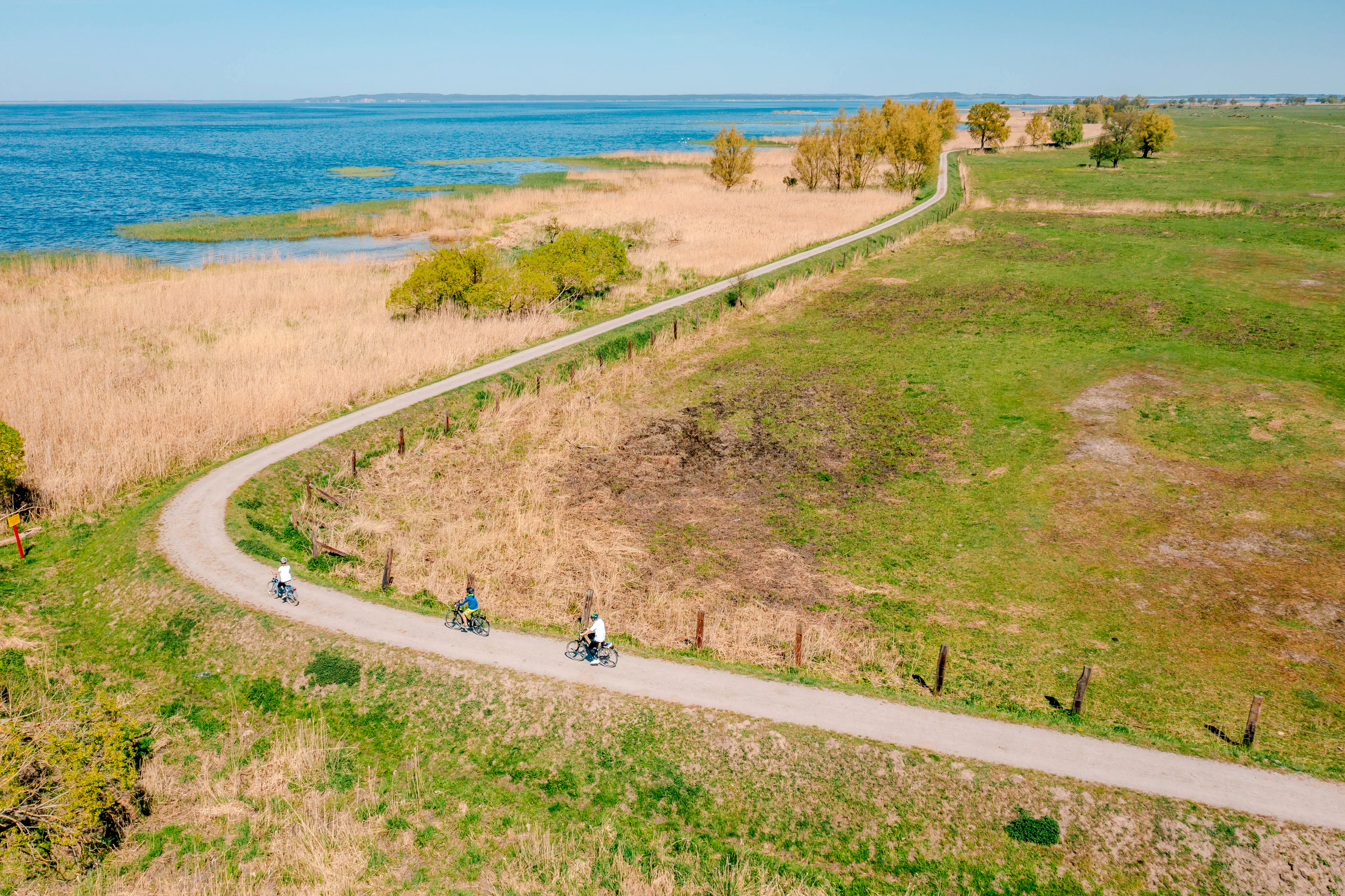
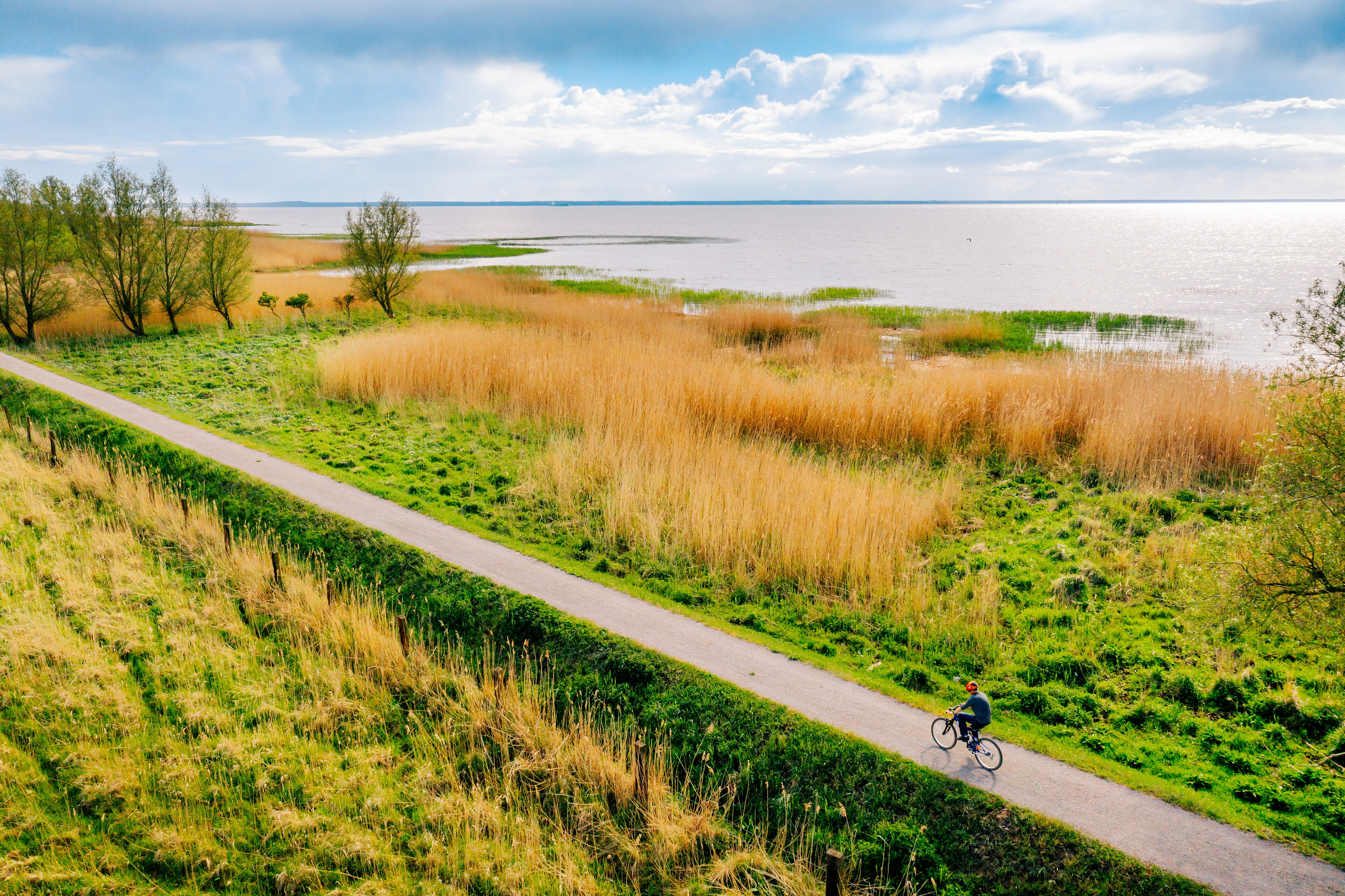
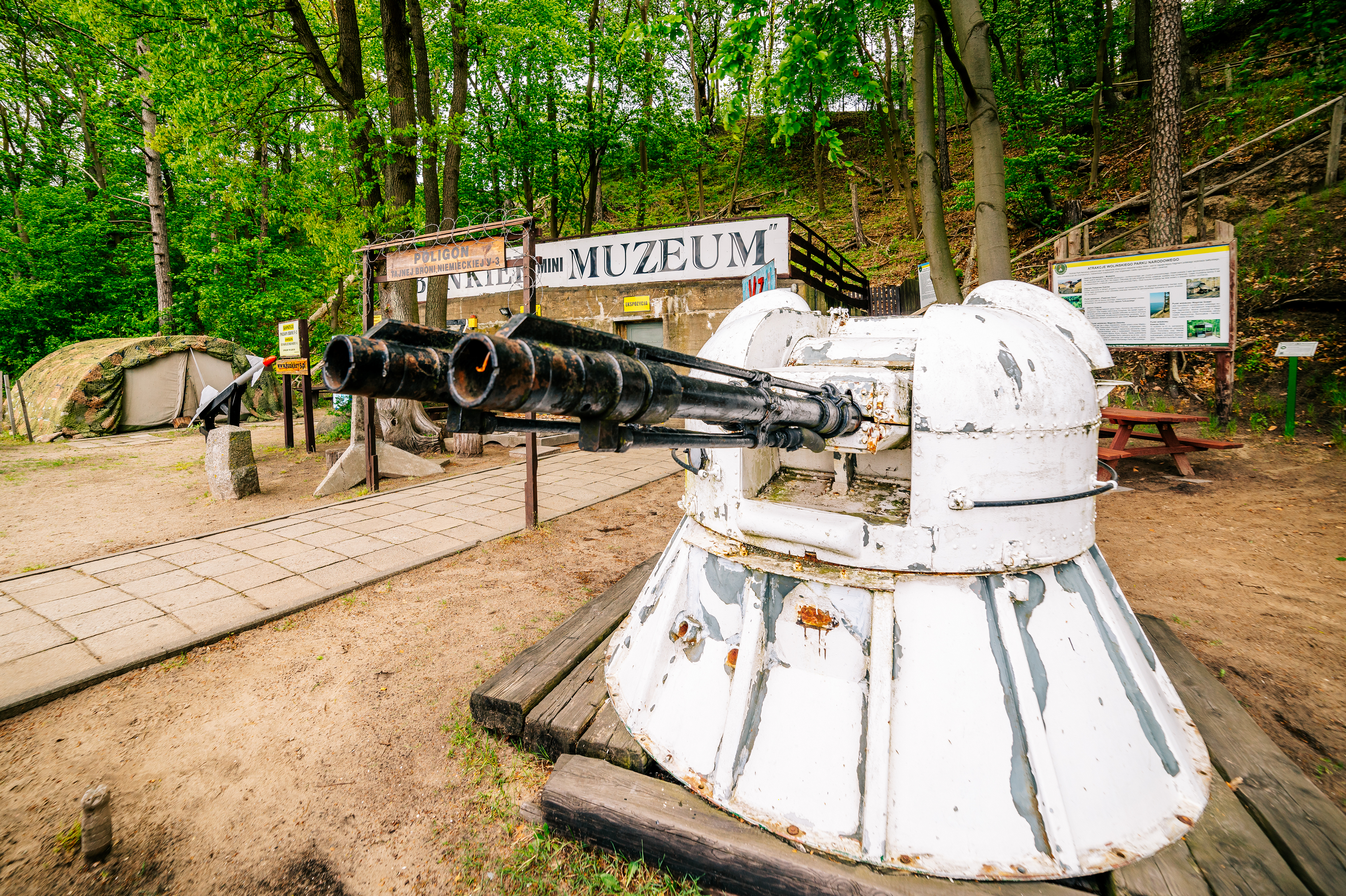
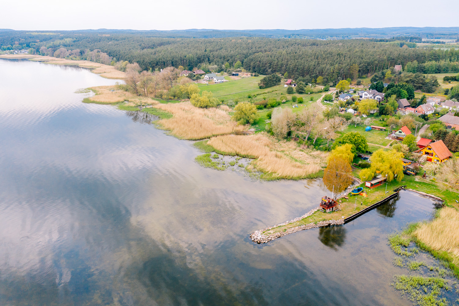
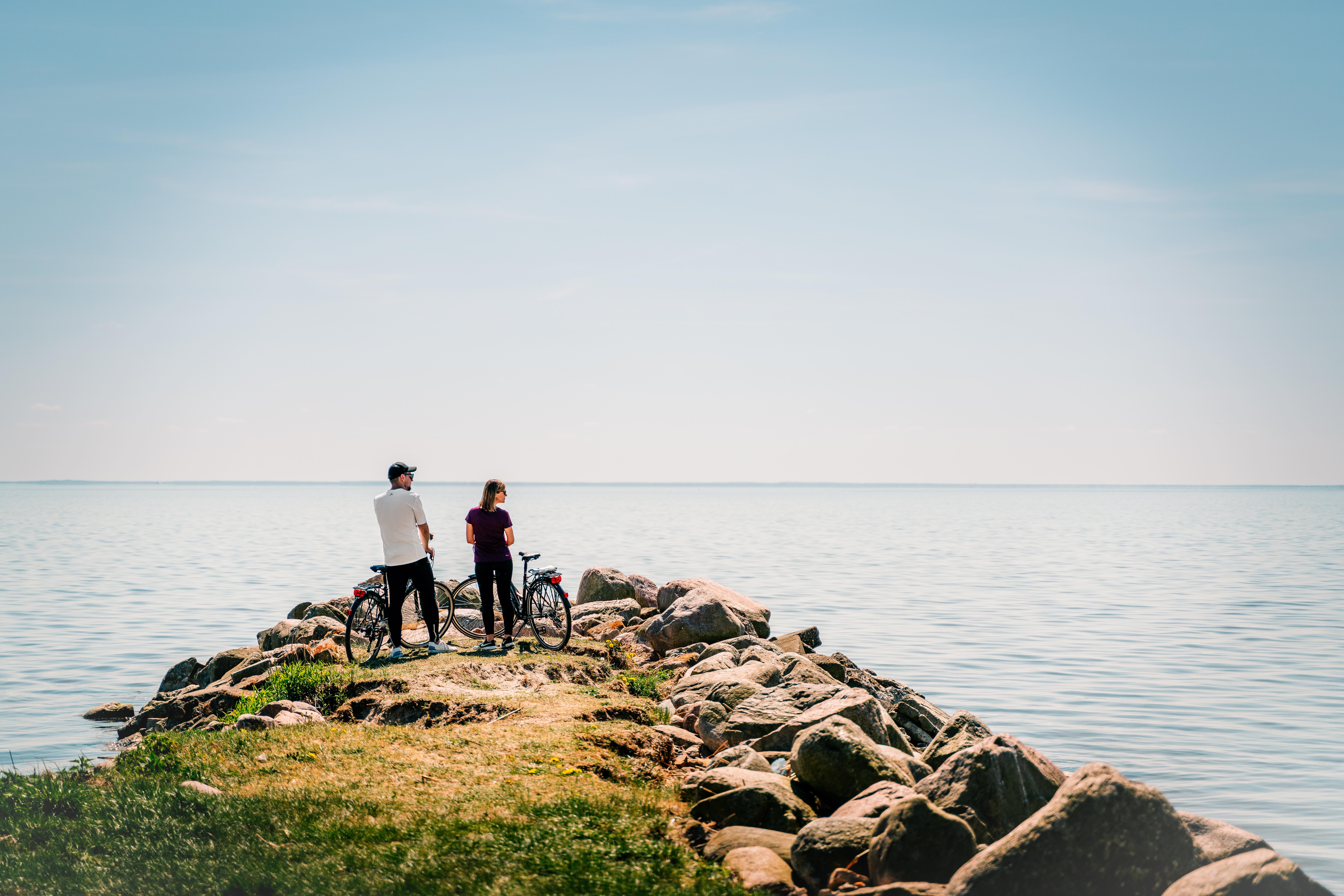
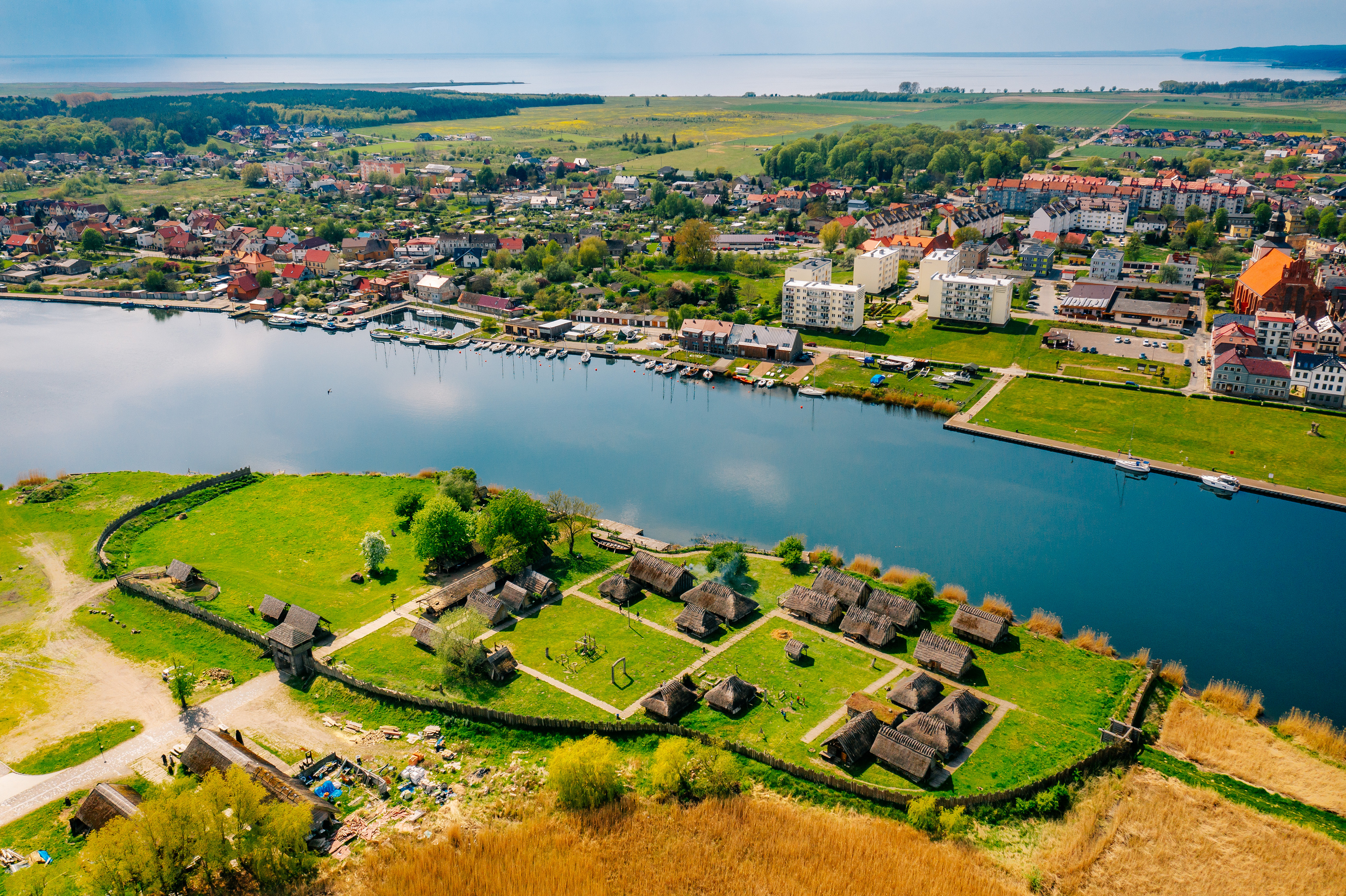
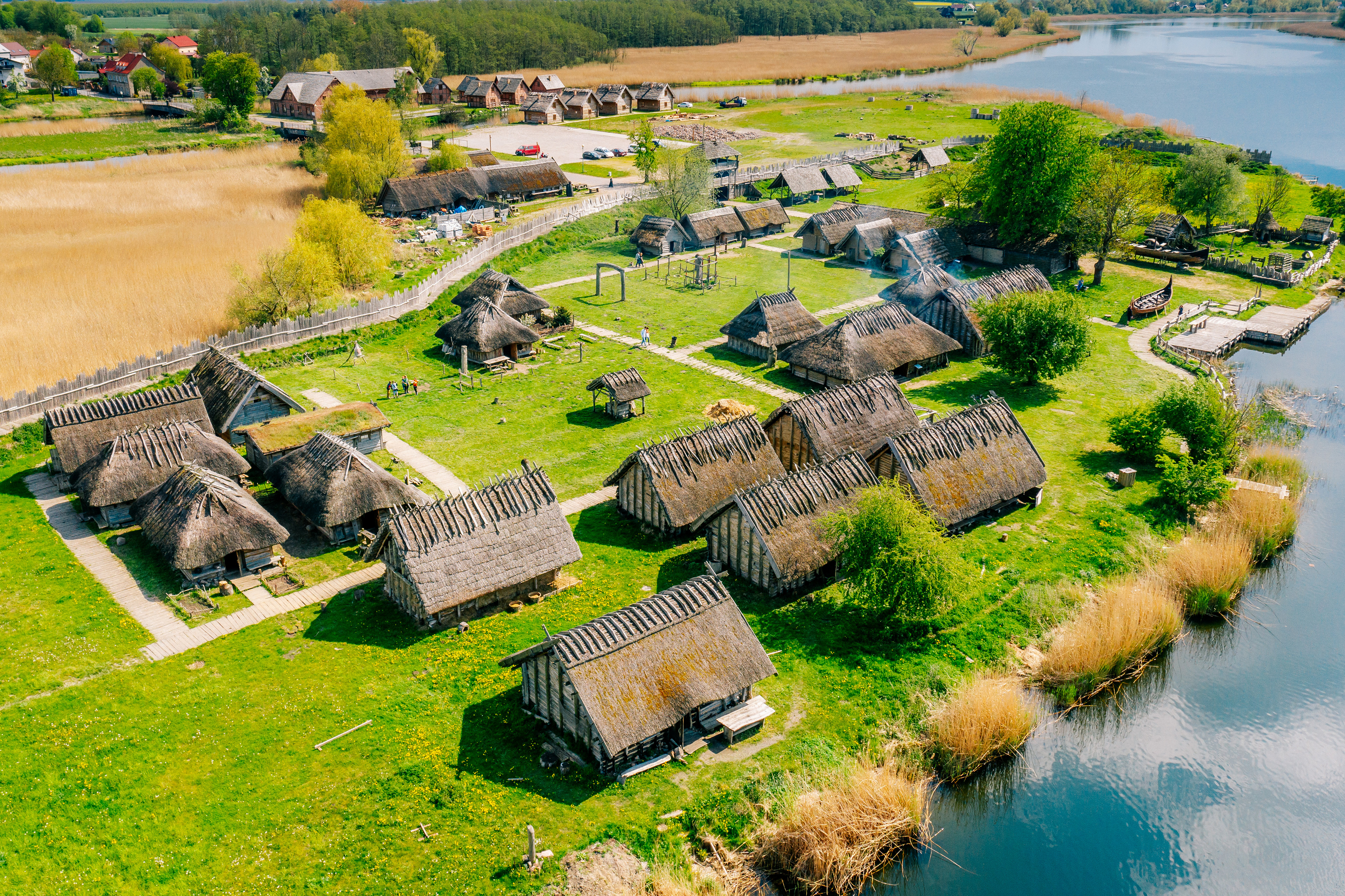
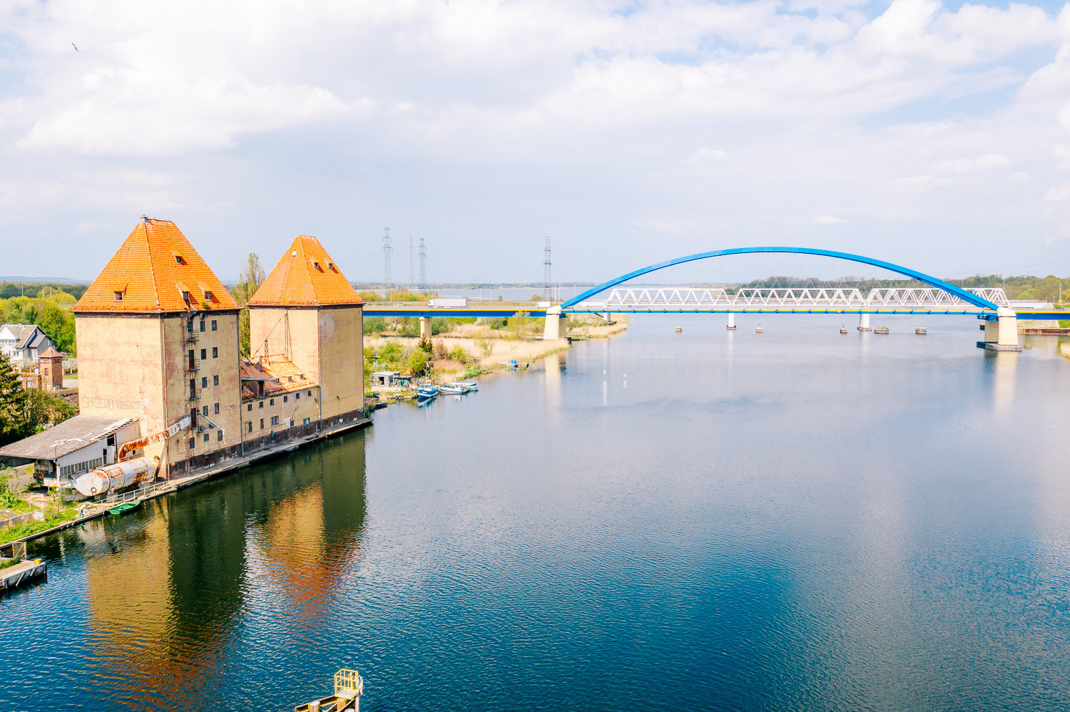
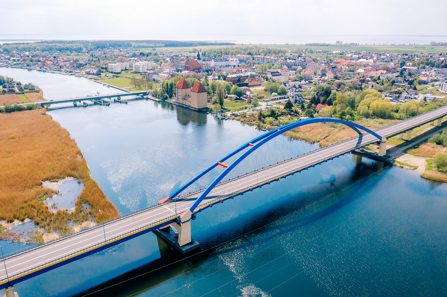
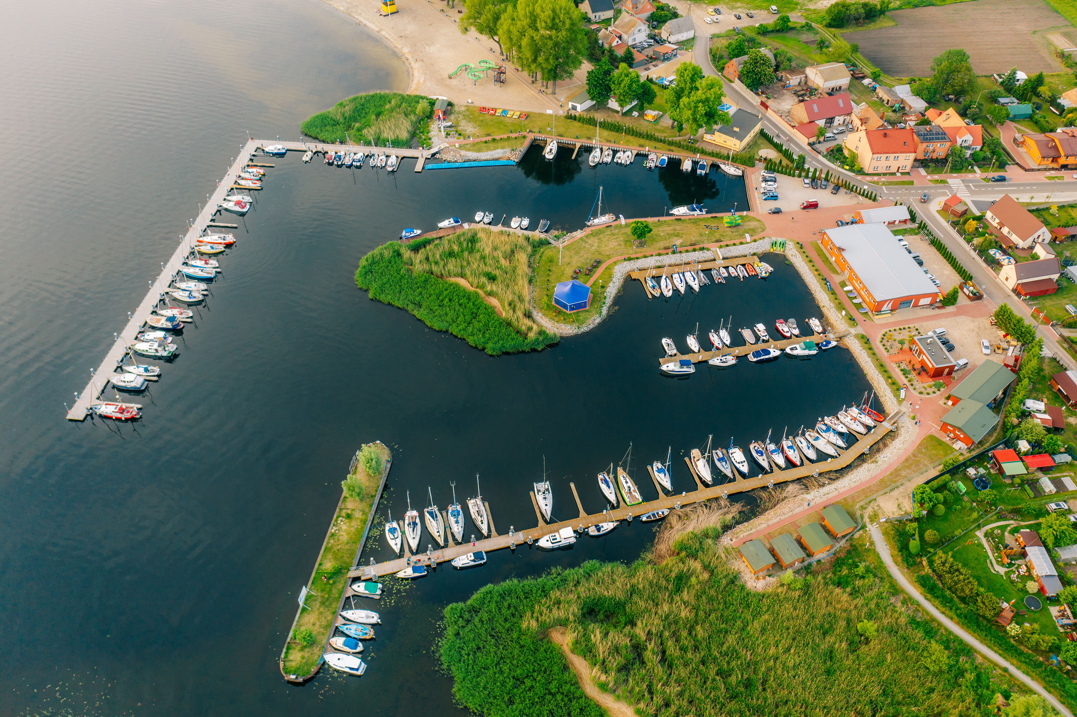
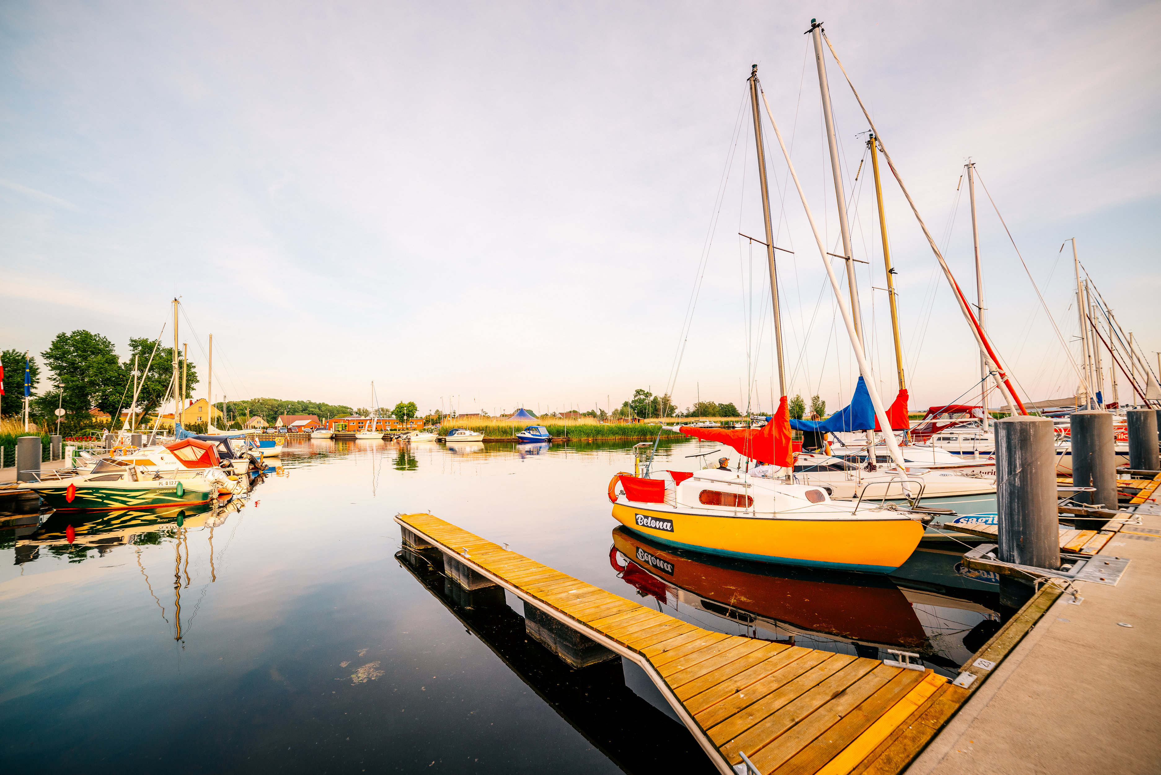
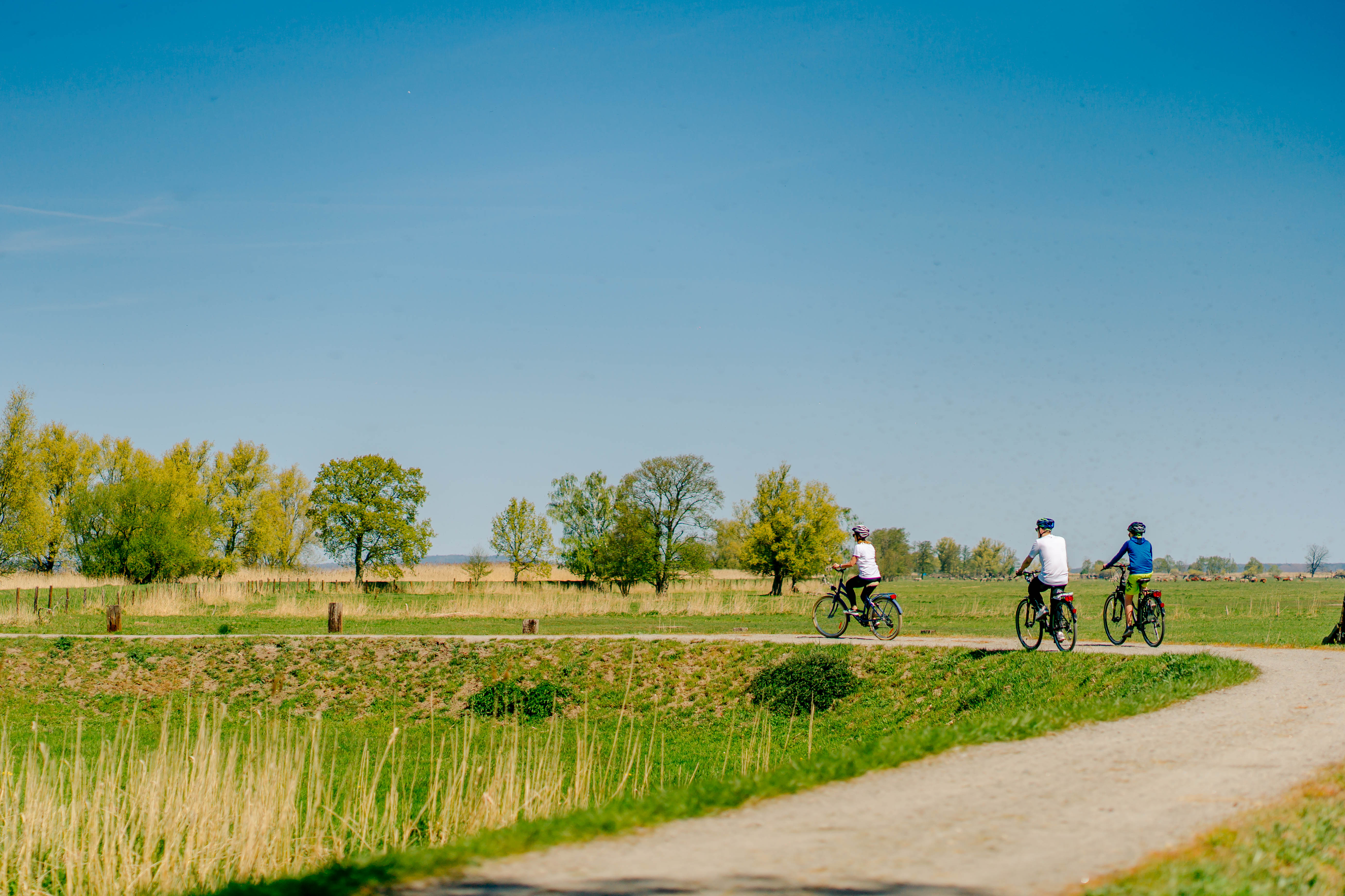
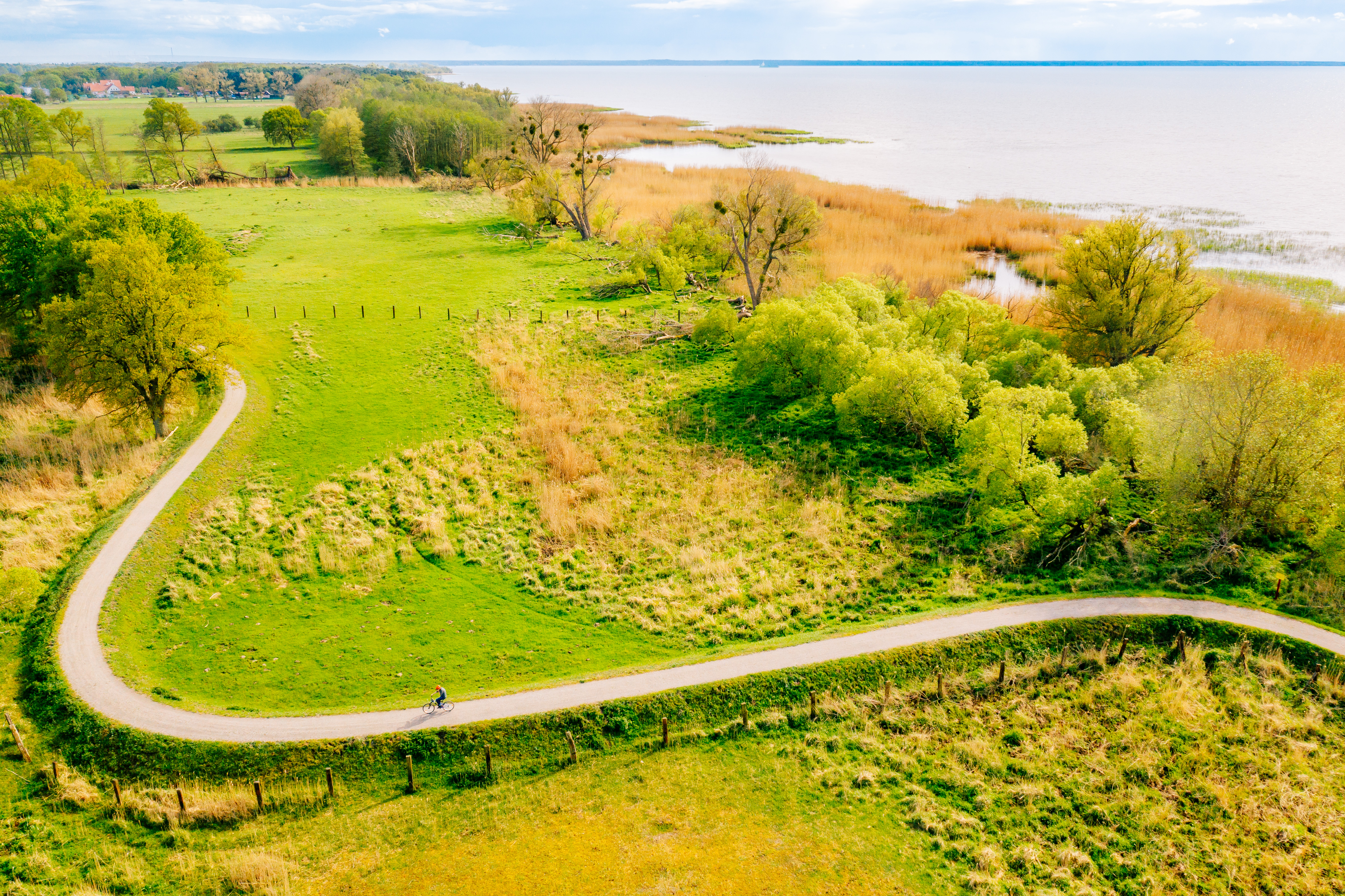
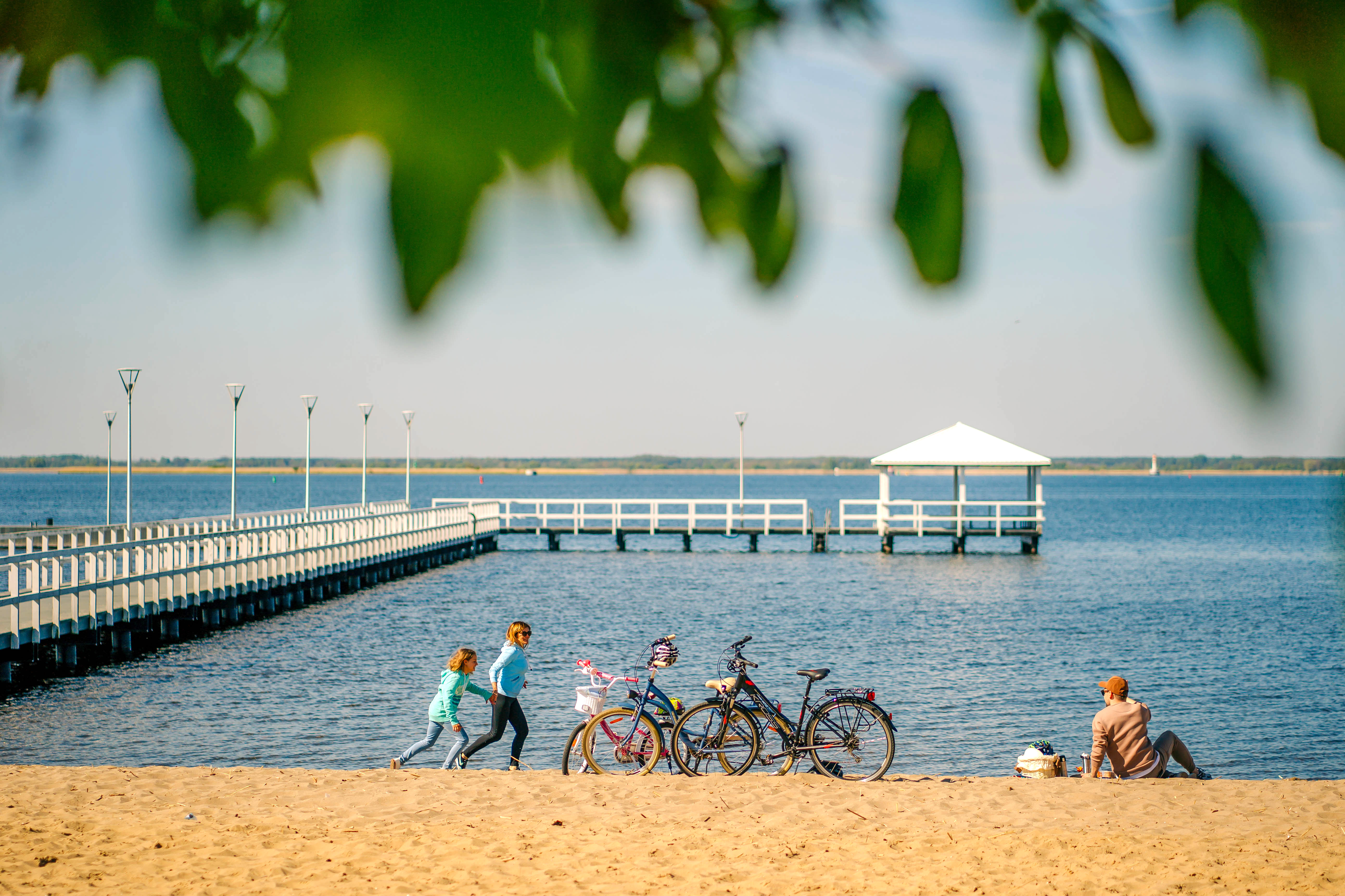
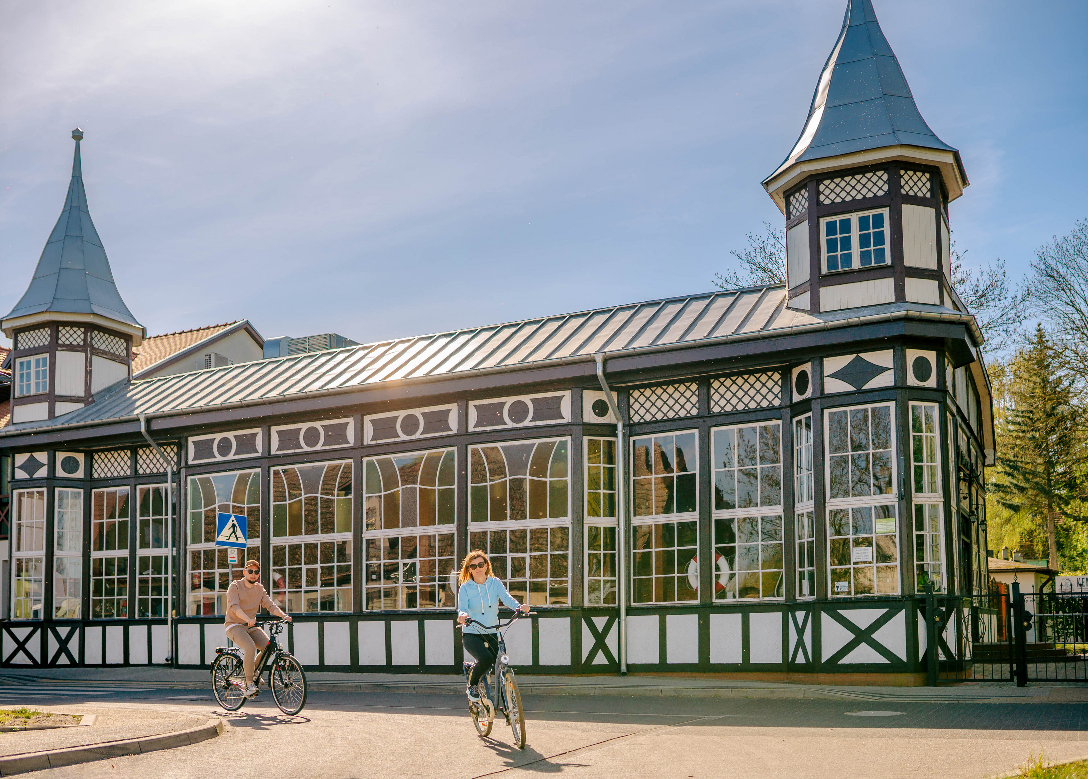
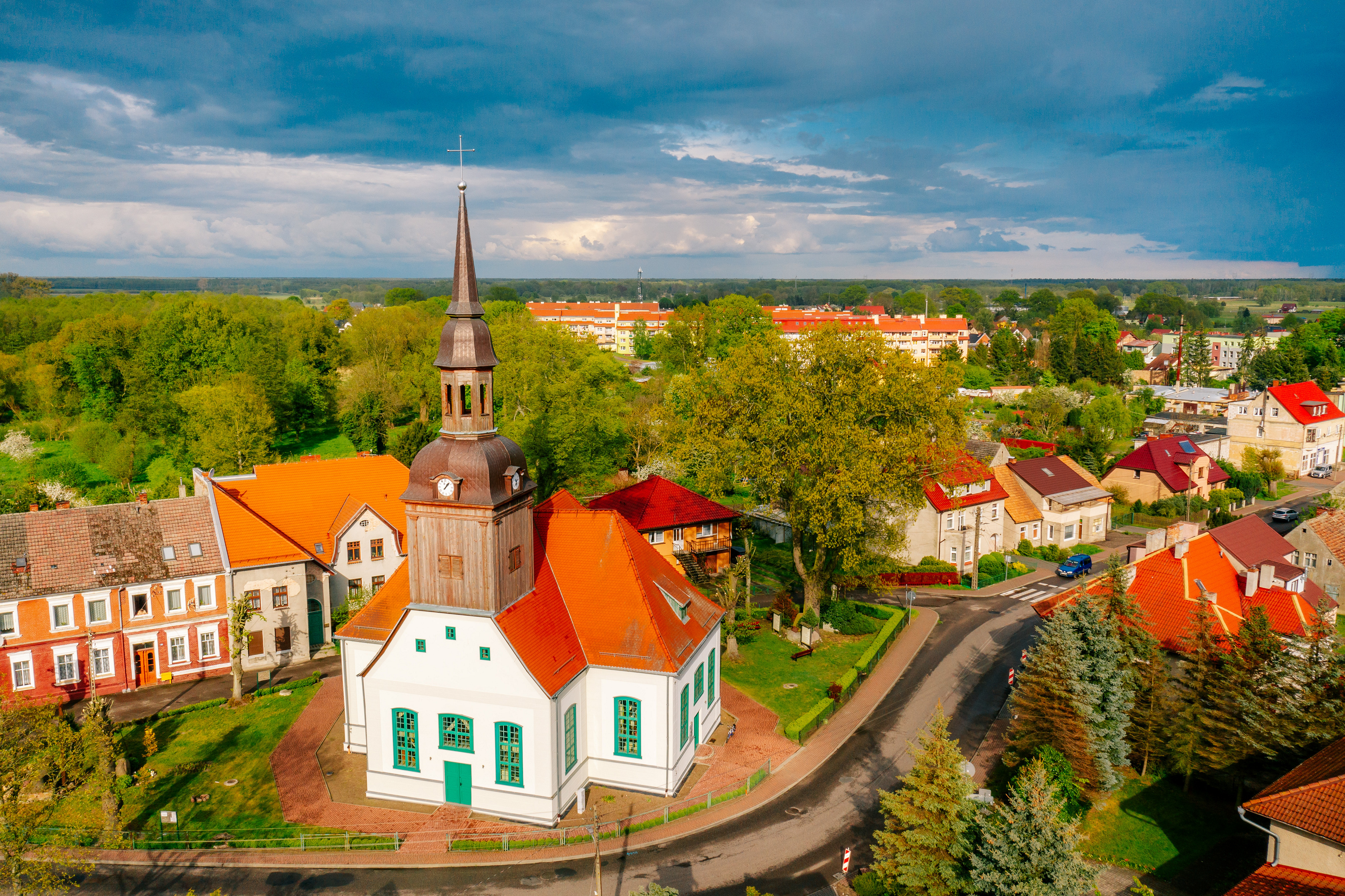
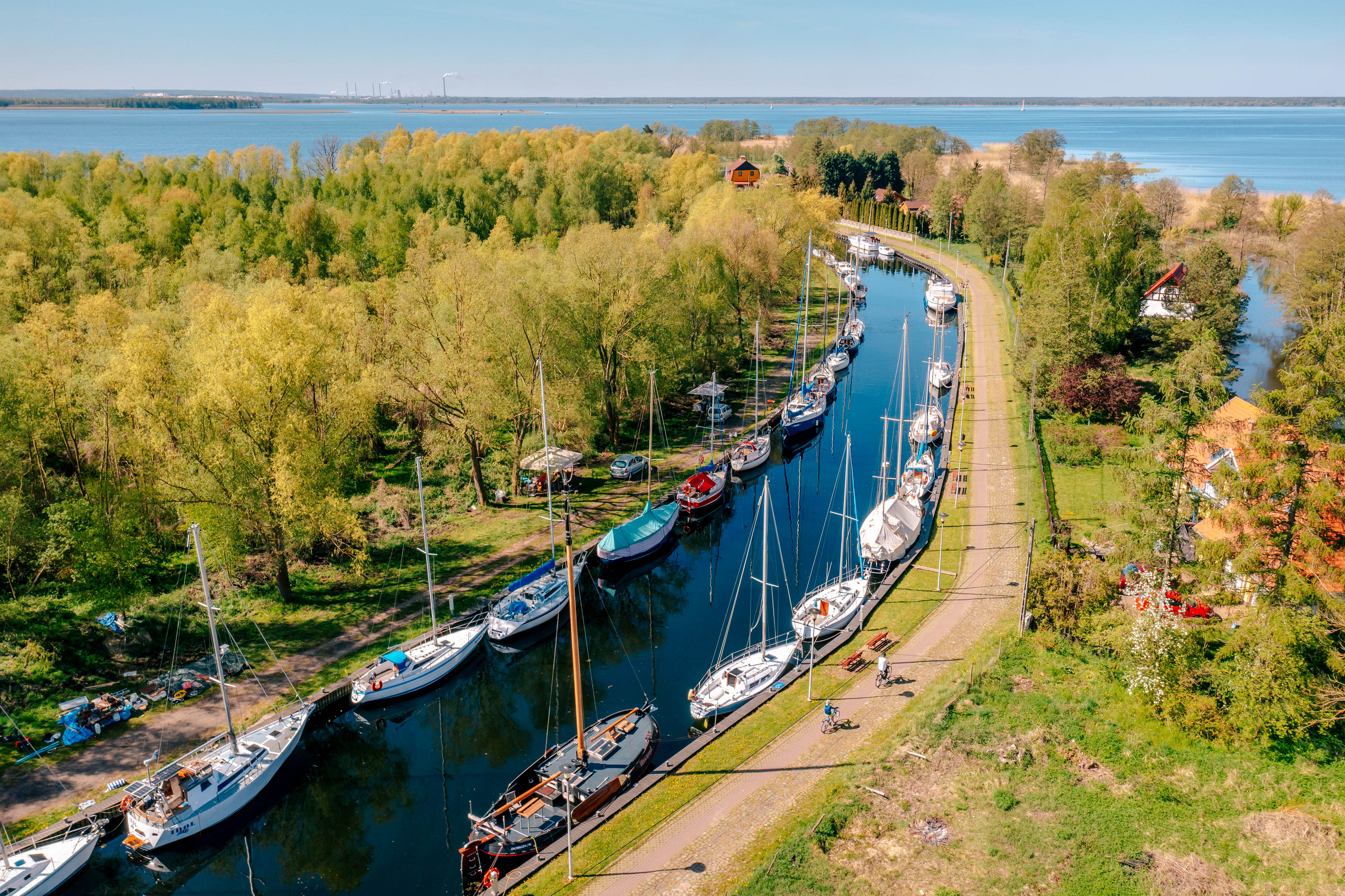
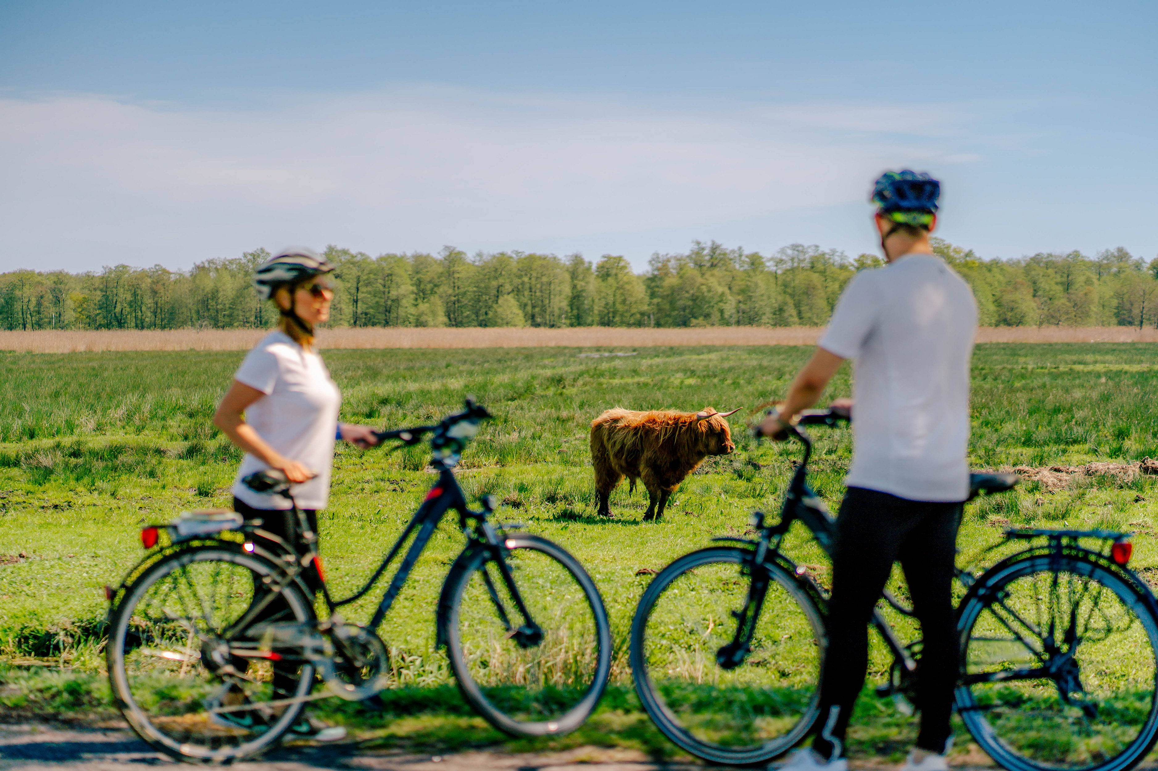
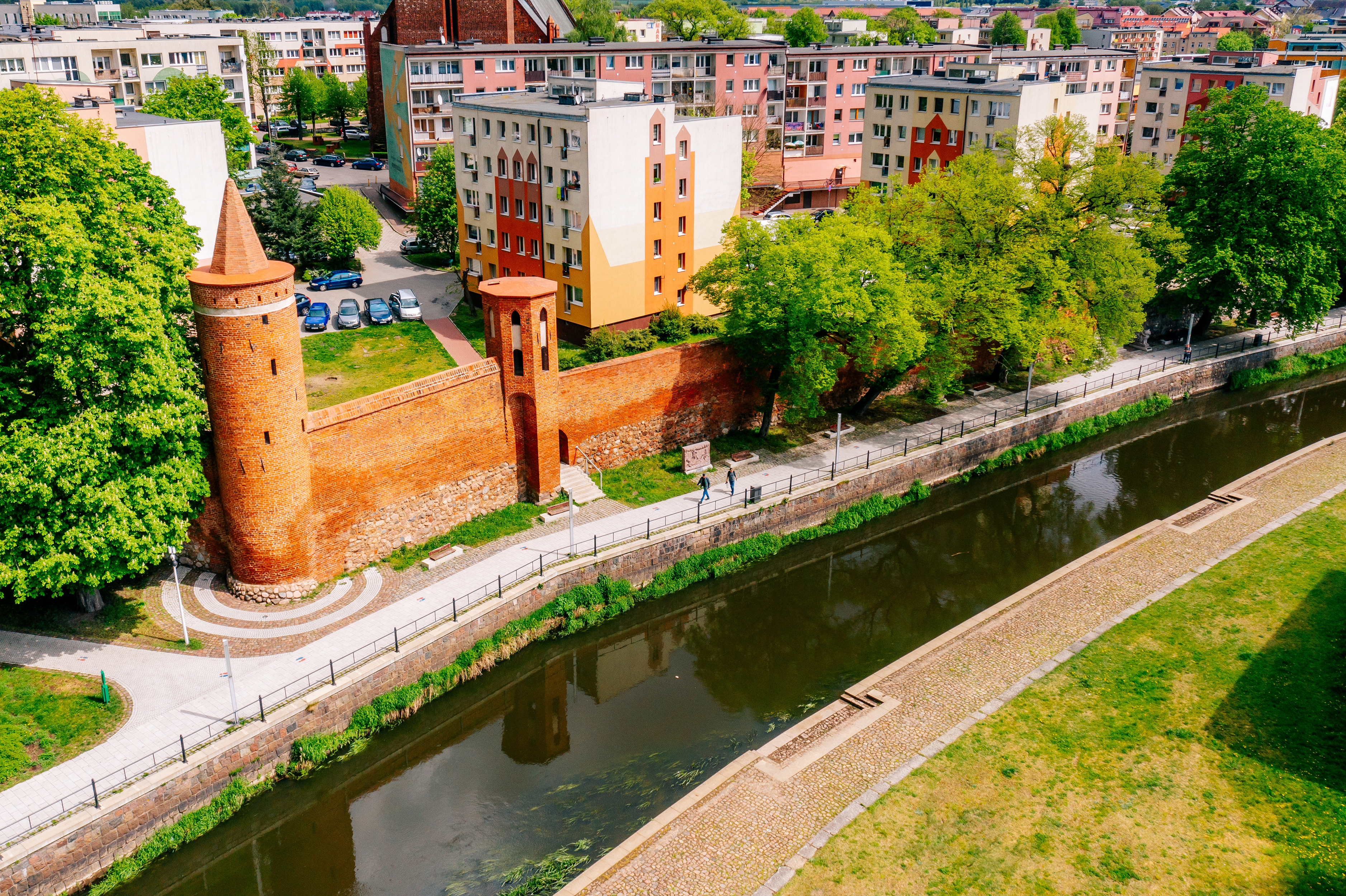
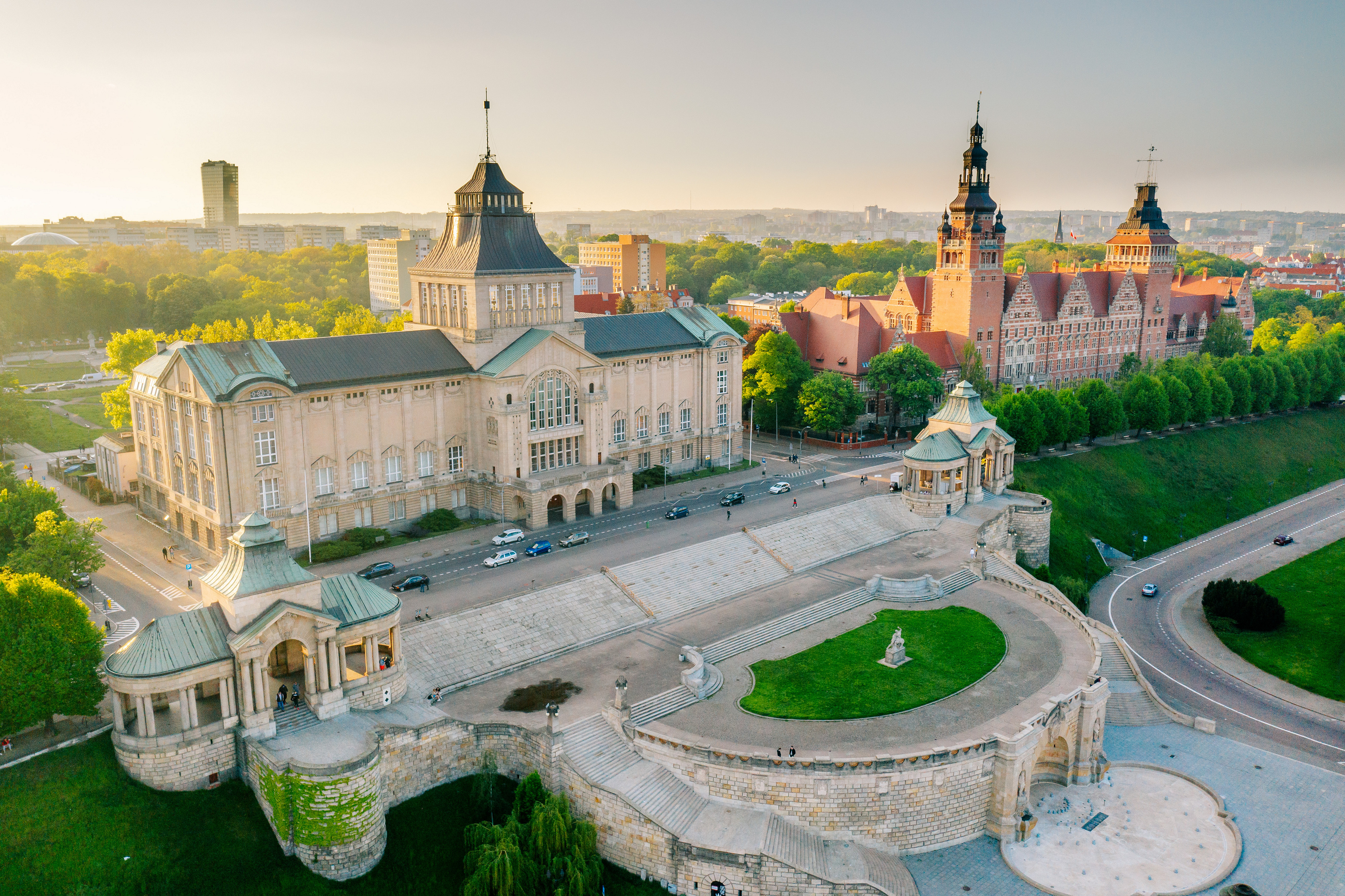
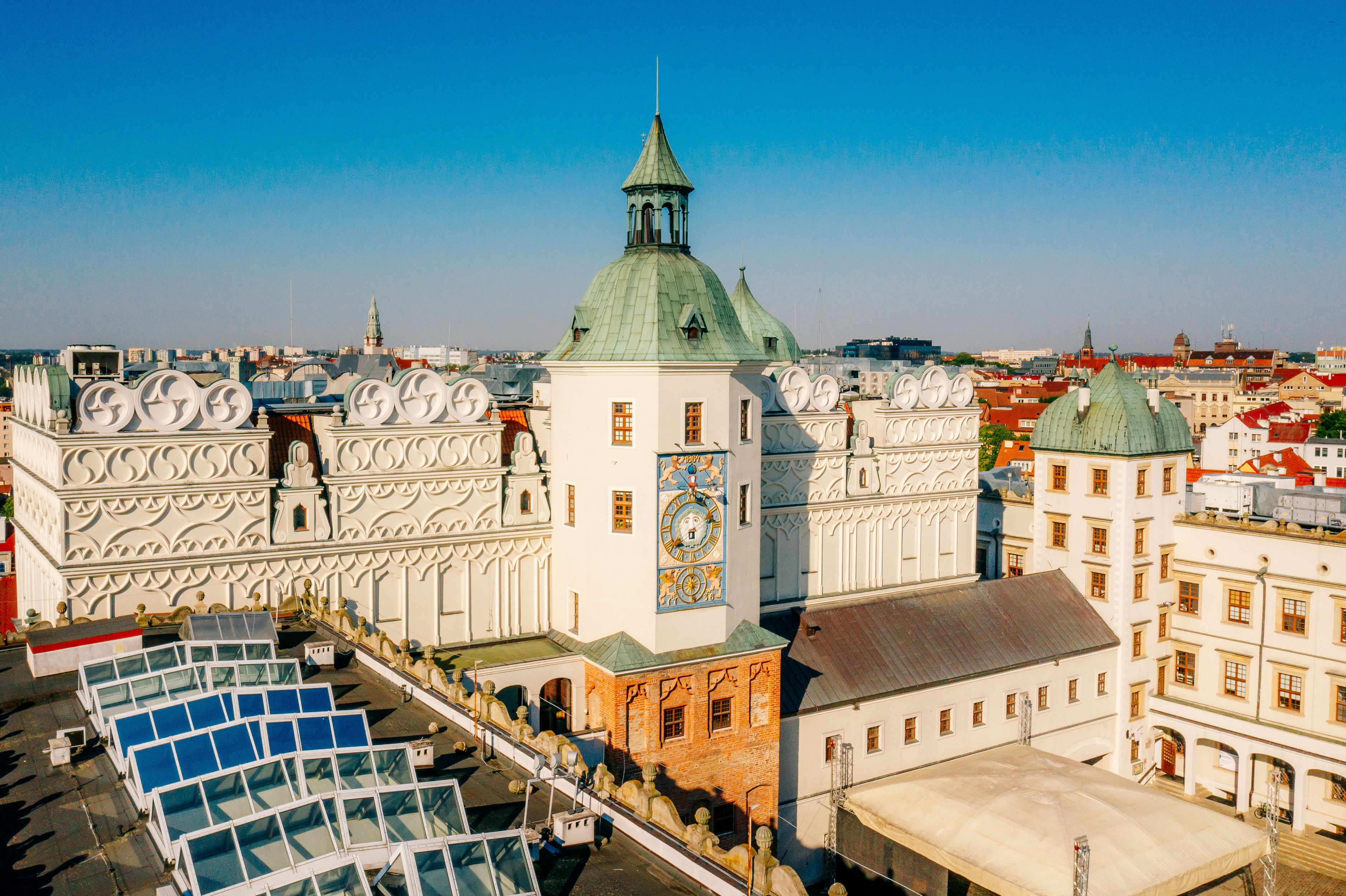
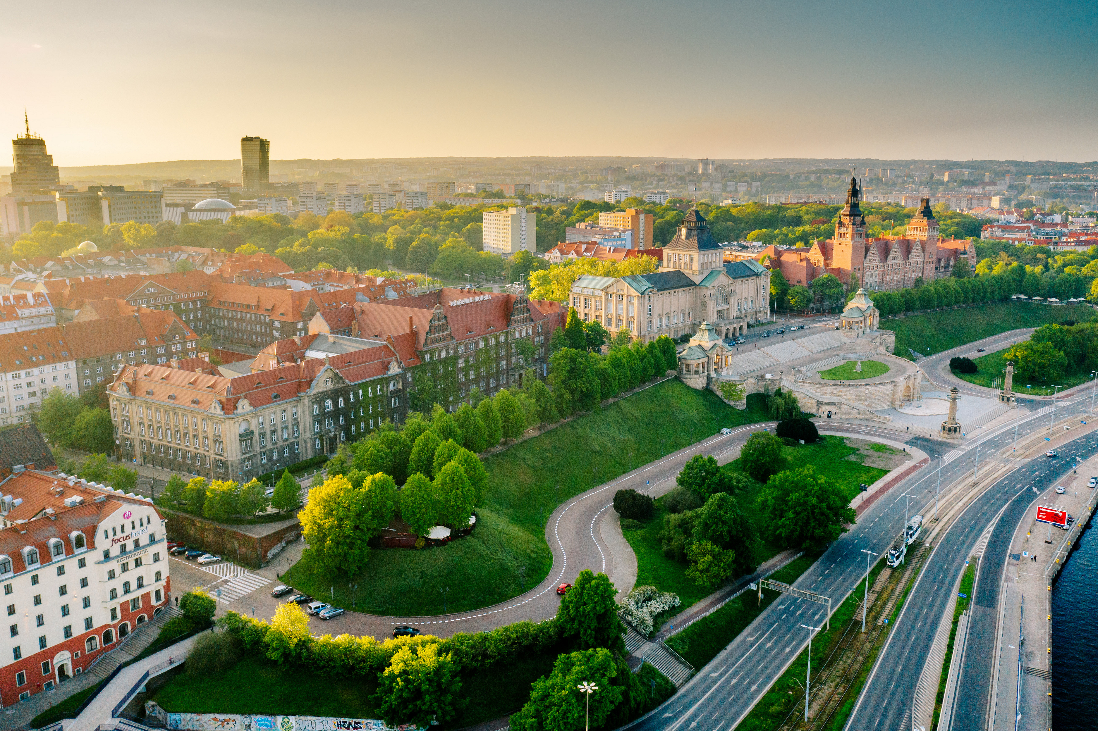
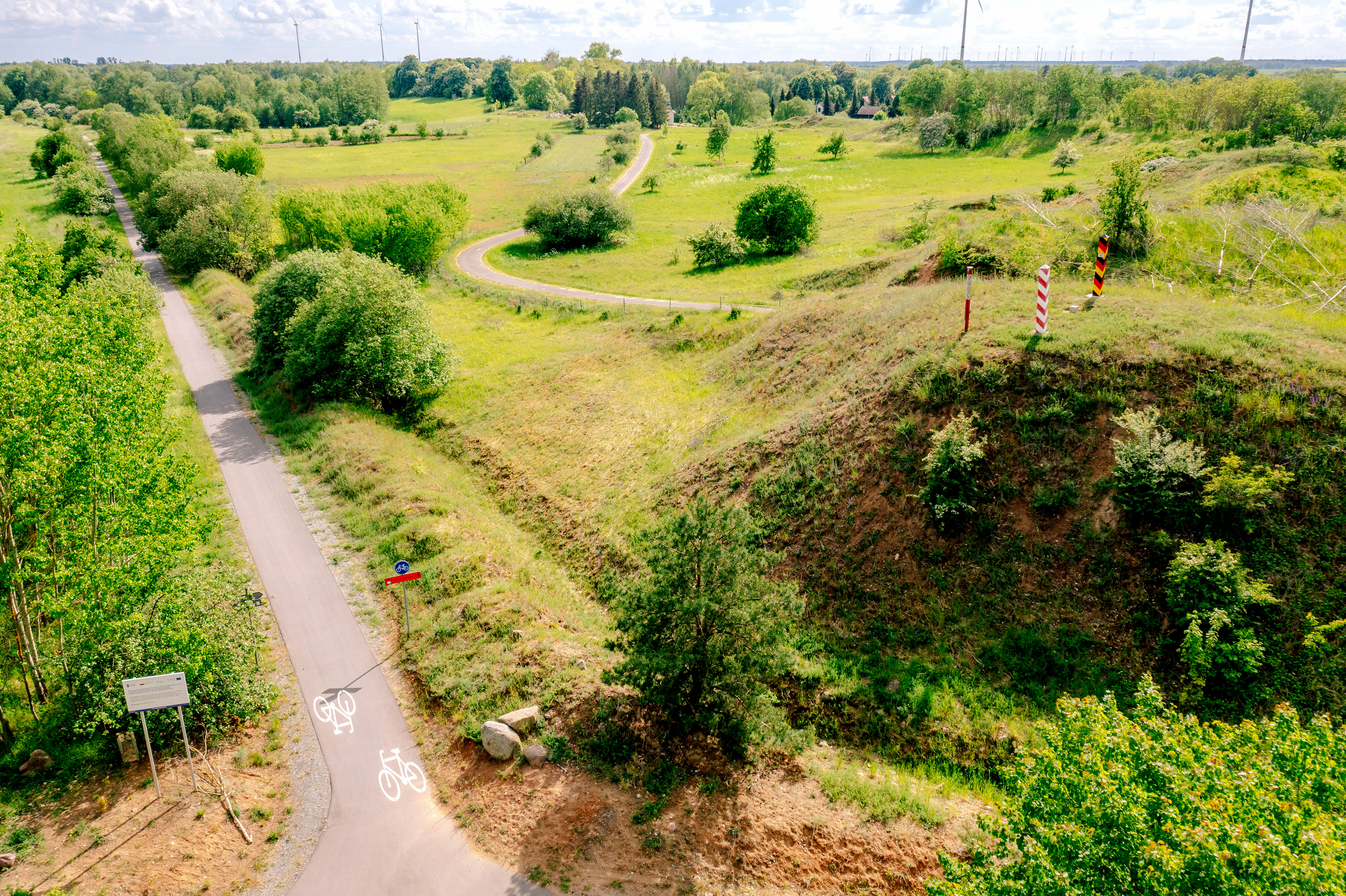
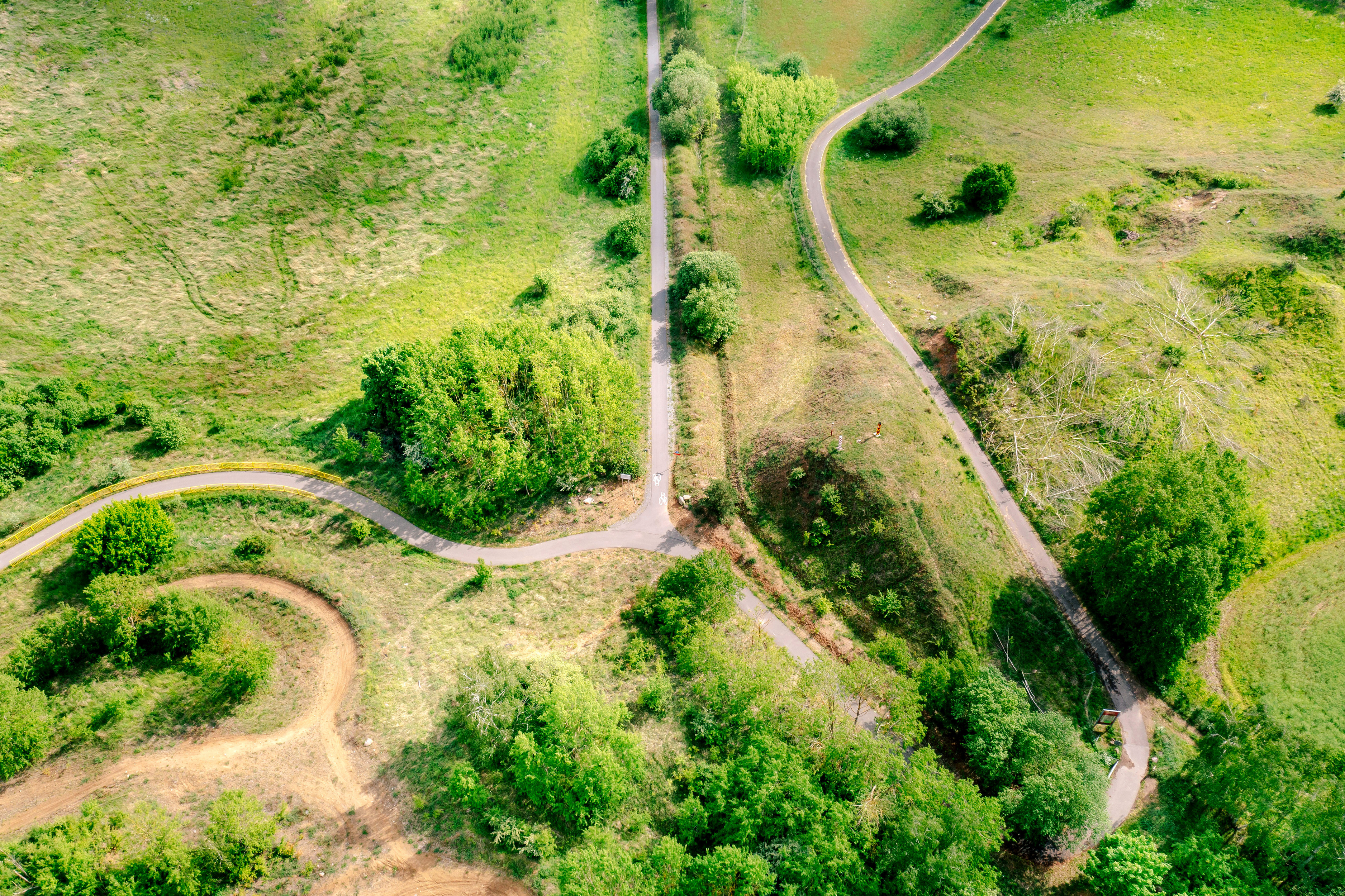
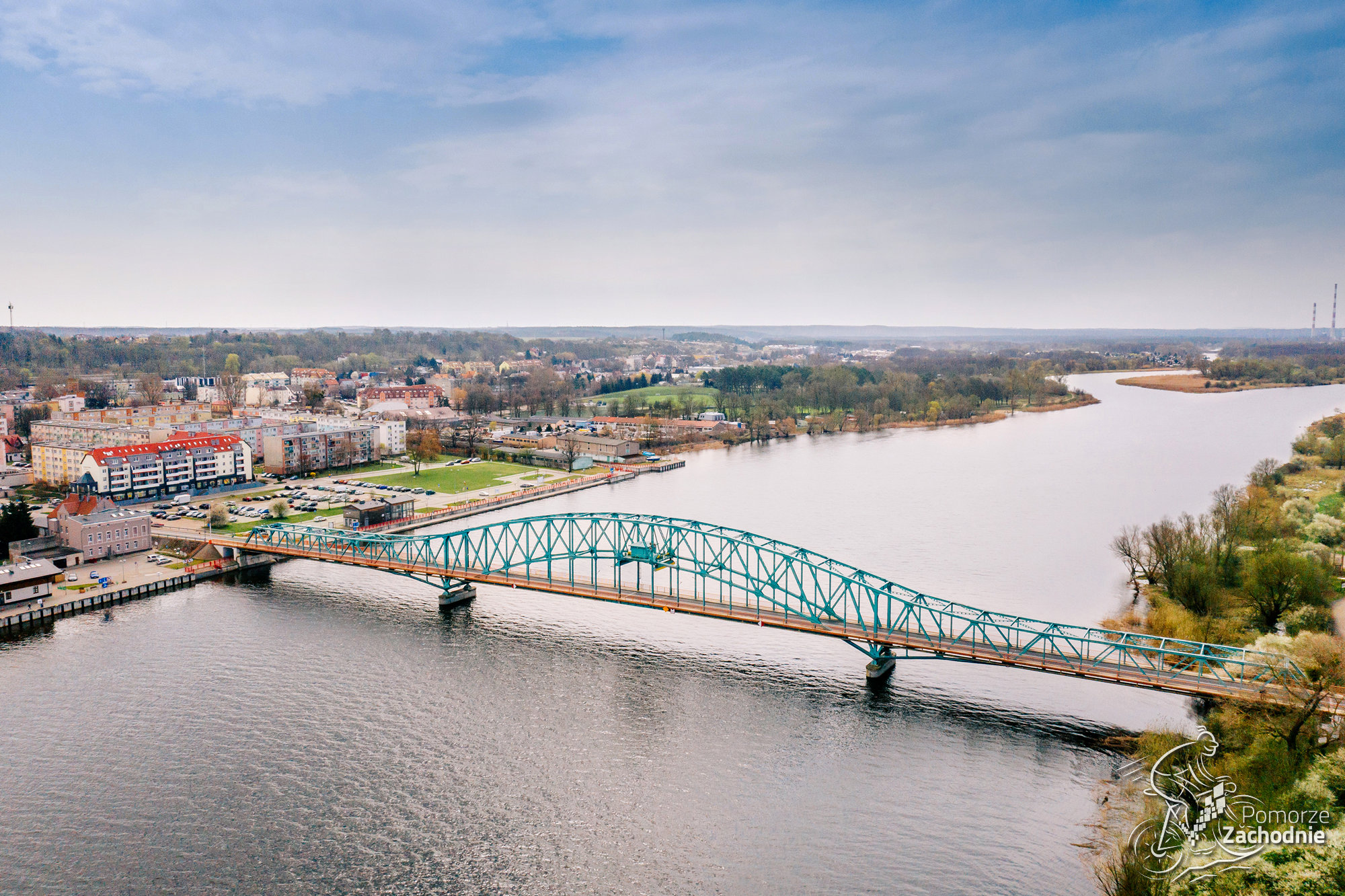
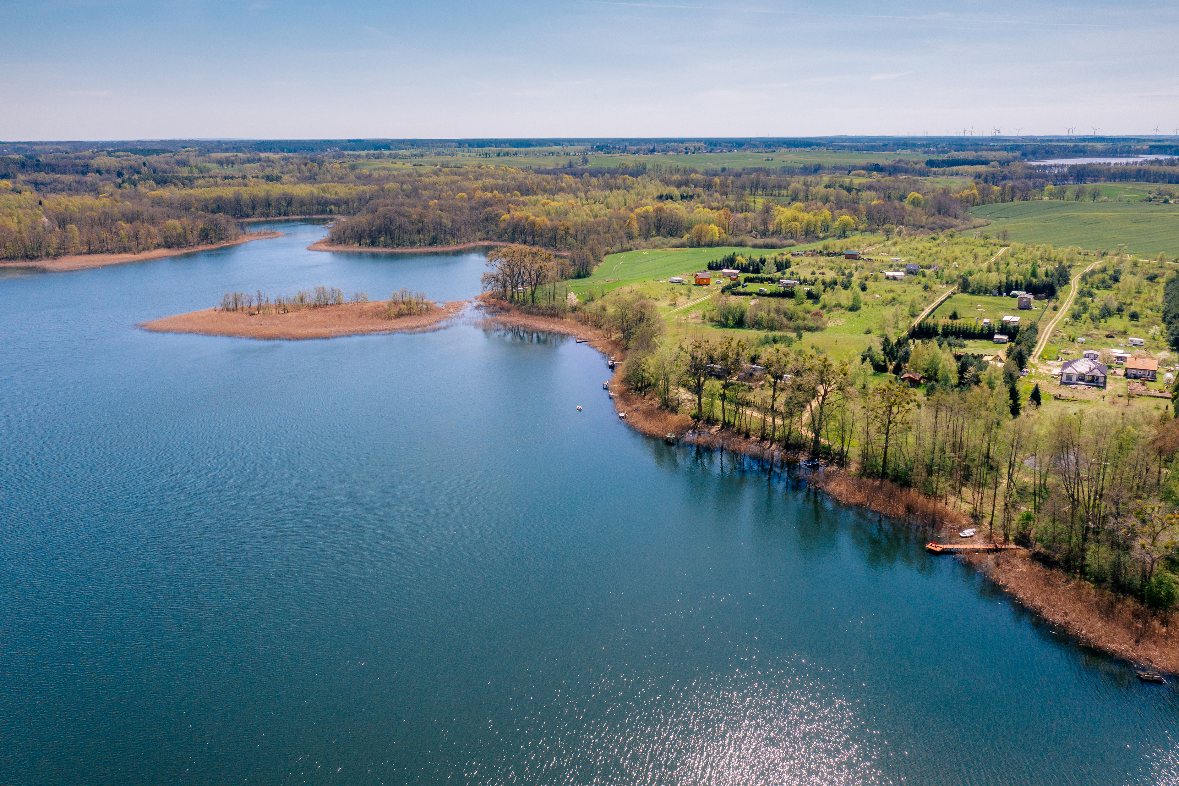
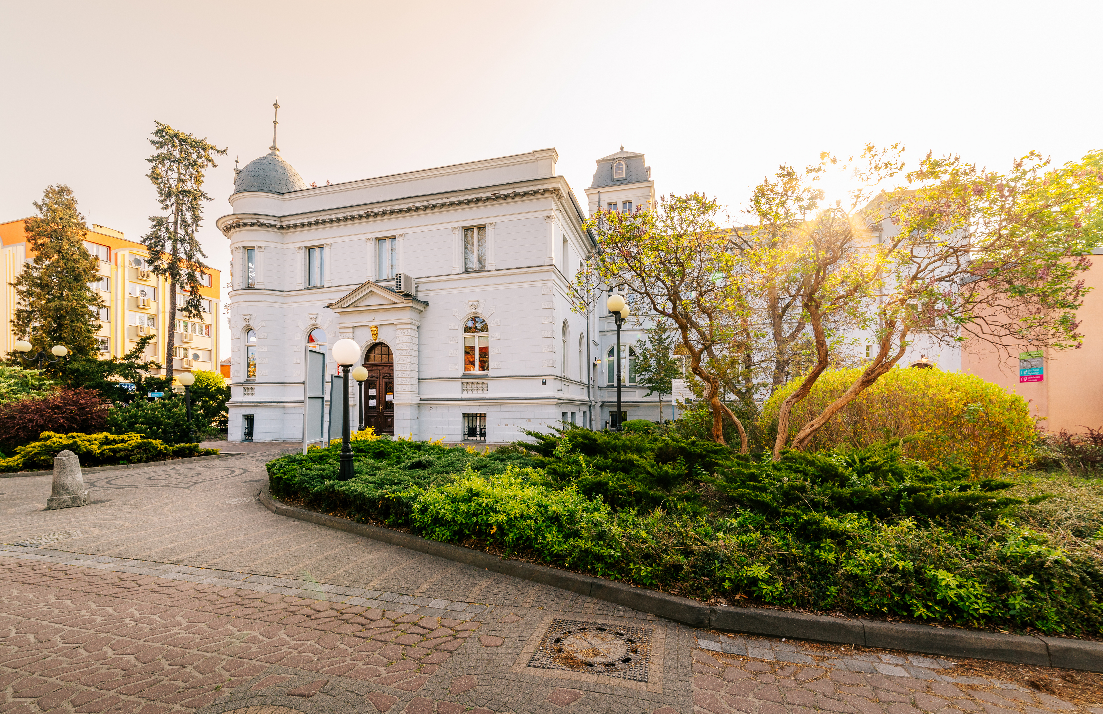
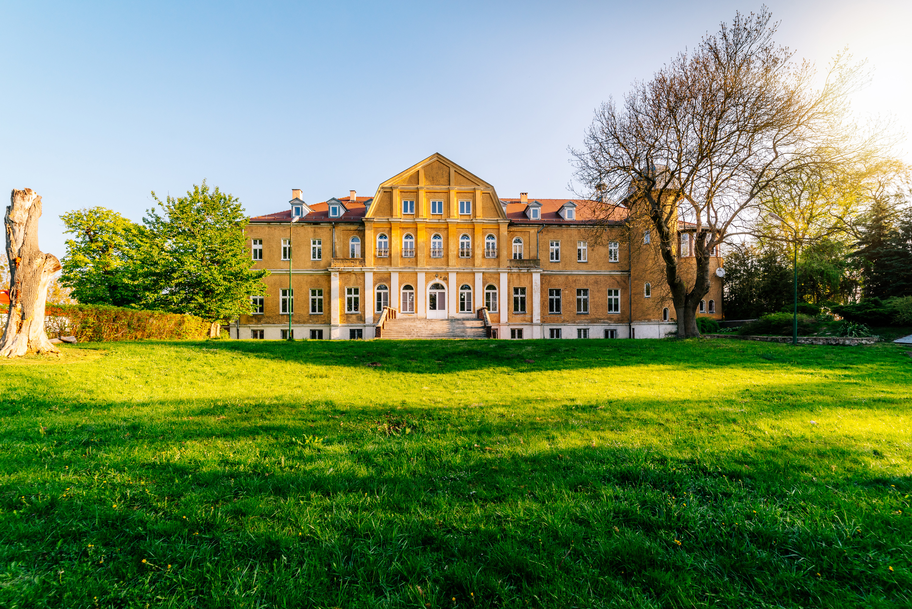
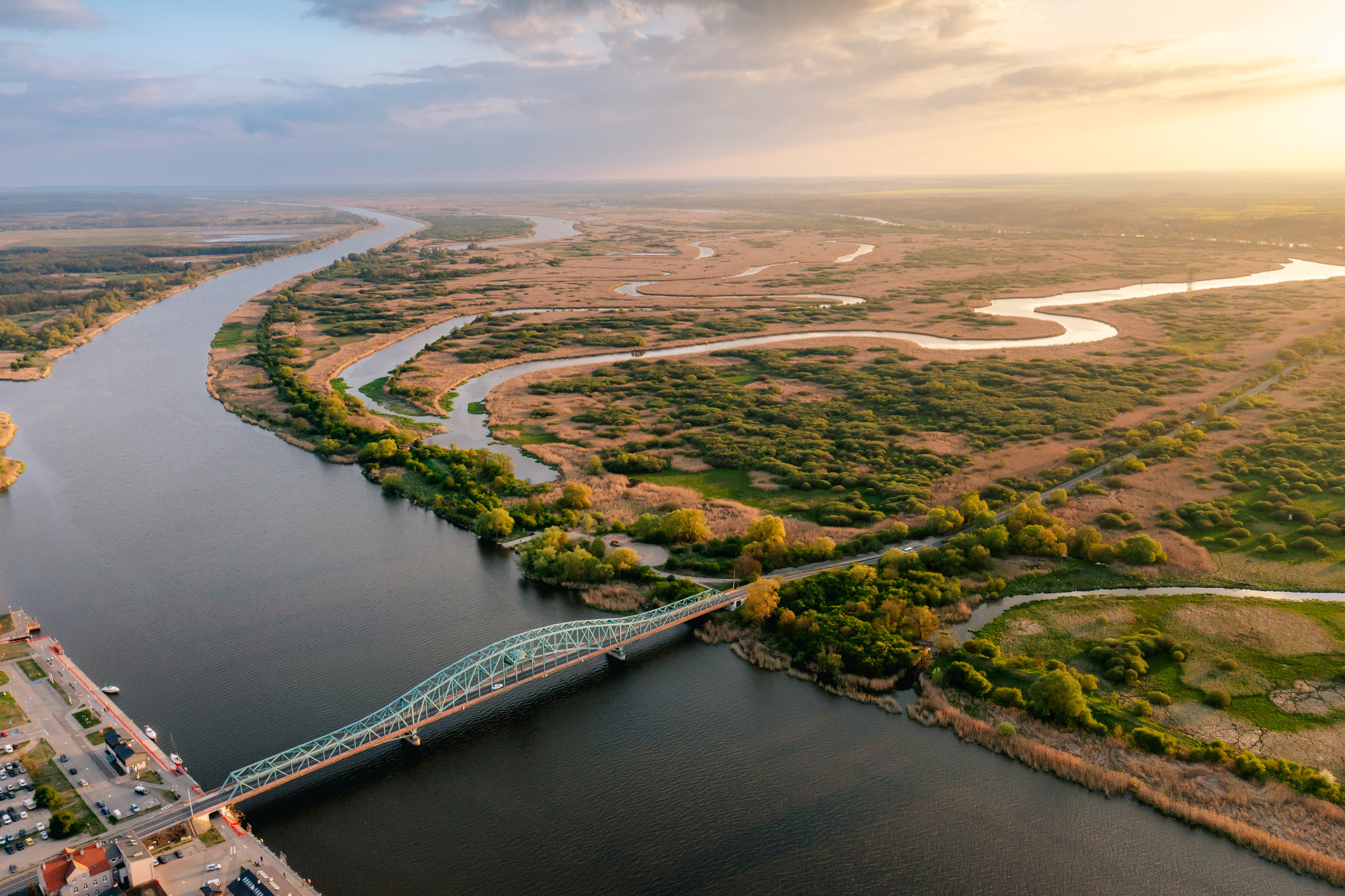
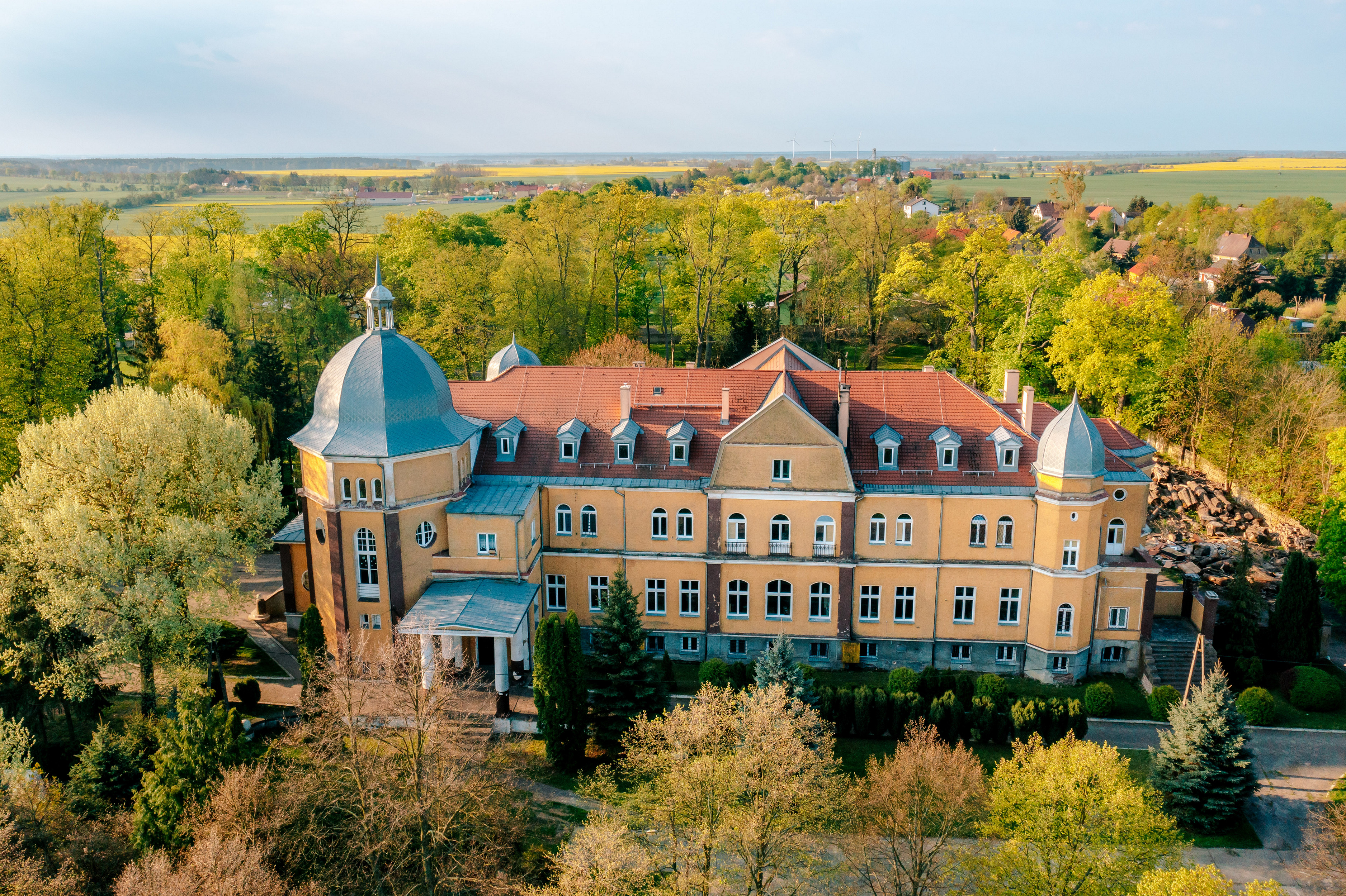
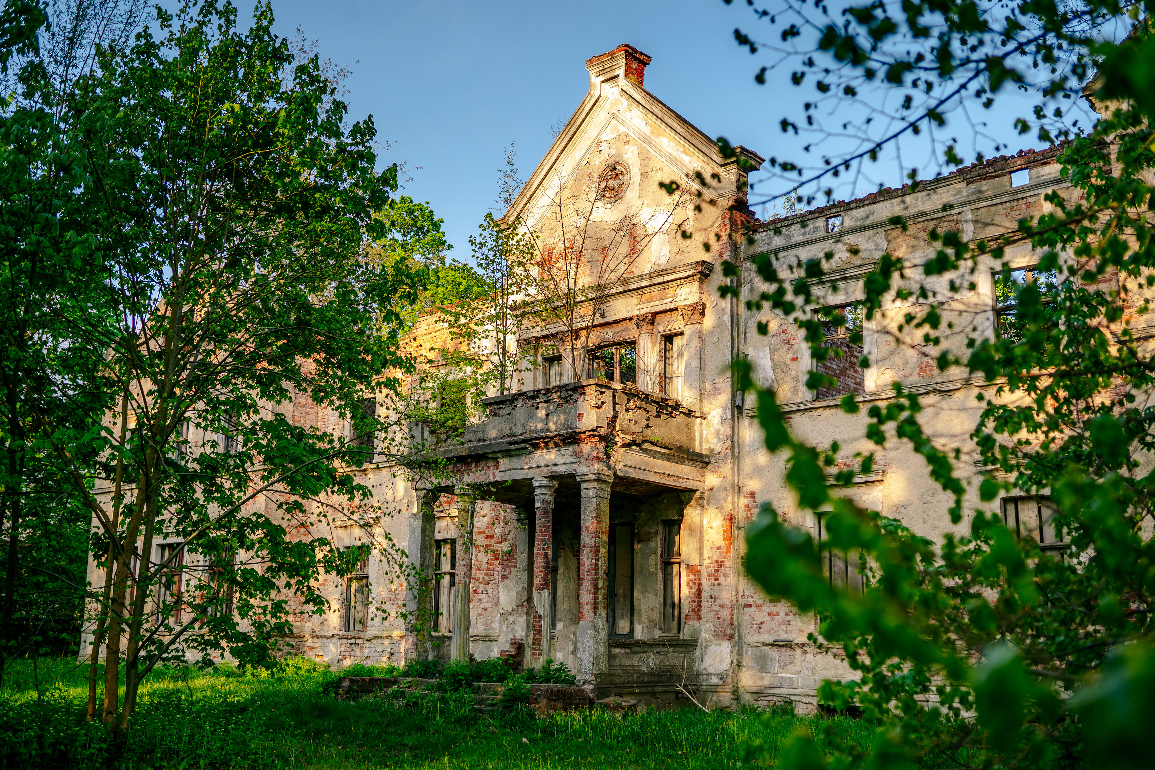
The north–south route running along the Szczecin Lagoon and through the Myślibórz Lake District, connects the Baltic Sea with Kostrzyn nad Odrą. It is very popular among cyclists who ride to the seaside by themselves and then continue the trip along the Baltic shores. For less experienced cyclists, we recommend the sections between Stepnica and Międzyzdroje, and between Gryfino and Trzcińsko-Zdrój. To the north, the route runs along Lake Dąbie and the Szczecin Lagoon. To the south, a large portion of the route follows the former railroads. On the northern section, you can enjoy the view of the sprawling waters of the Szczecin Lagoon complete with white sails and the calls of the local bird population. The southern section will take you to castles, vineyards and old water mills.
Surface: asphalt 65%, aggregate 26%, cobblestones 6%, concrete slabs 2%, dirt roads 1%.
Type of traffic: bicycle paths 55%, general traffic 36%, forest/field roads 9%.
 marked
  unmarked
  Asphalt / concrete cube
  Gravel
  Asphalt / concrete cube
  Gravel
  Currently designed / under construction
  Heavy car traffic
  Rough / dirt road
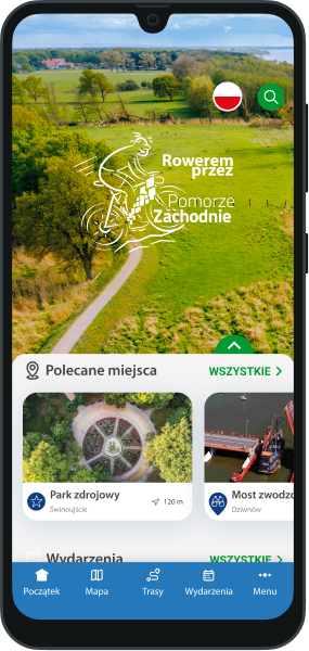


