Routes and trips
 Map
Map MPR - cyclist-friendly places
 POI
POI Plan your trip
 Bike counters
 Publications
 News
News Route concept
 Contact
 Western Lake Districts Route - Szczecin Link
 The Western Lake District Route begins at the picturesque bridge in Siekierki and leads through the most beautiful lake districts of Western Pomerania toward the Pomeranian Voivodeship. For cyclists starting in Szczecin, however, an attractive northern branch of the route—the R20A—has been prepared, allowing them to easily join the main route.
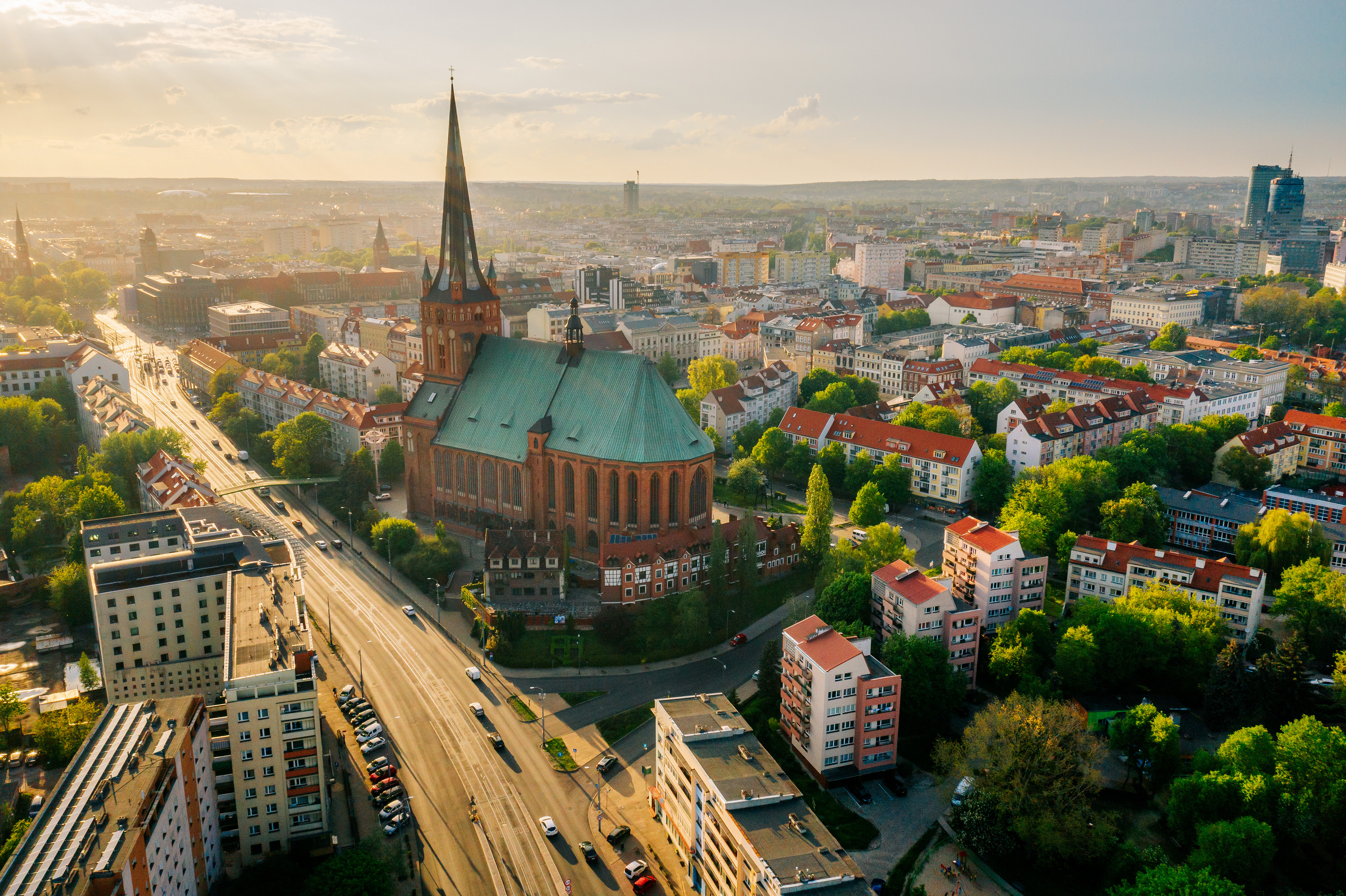
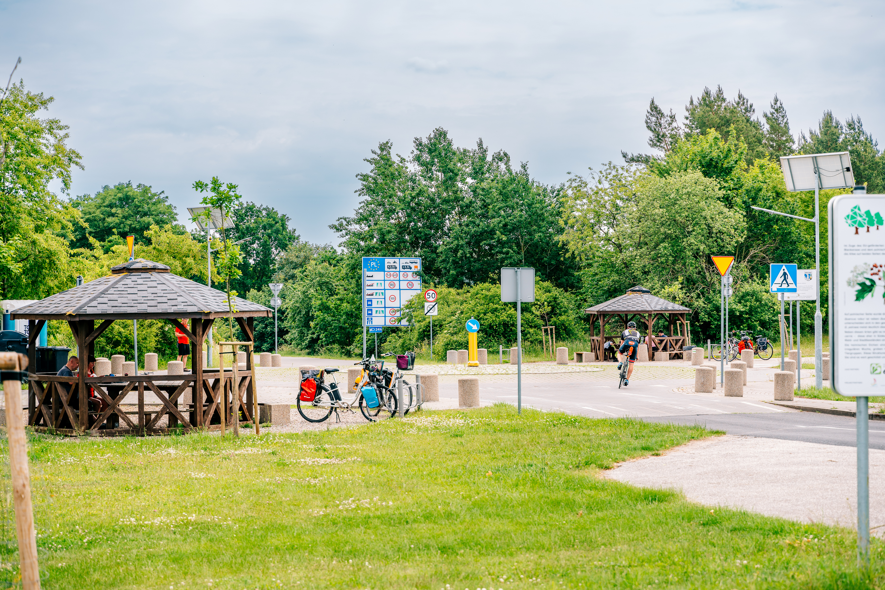
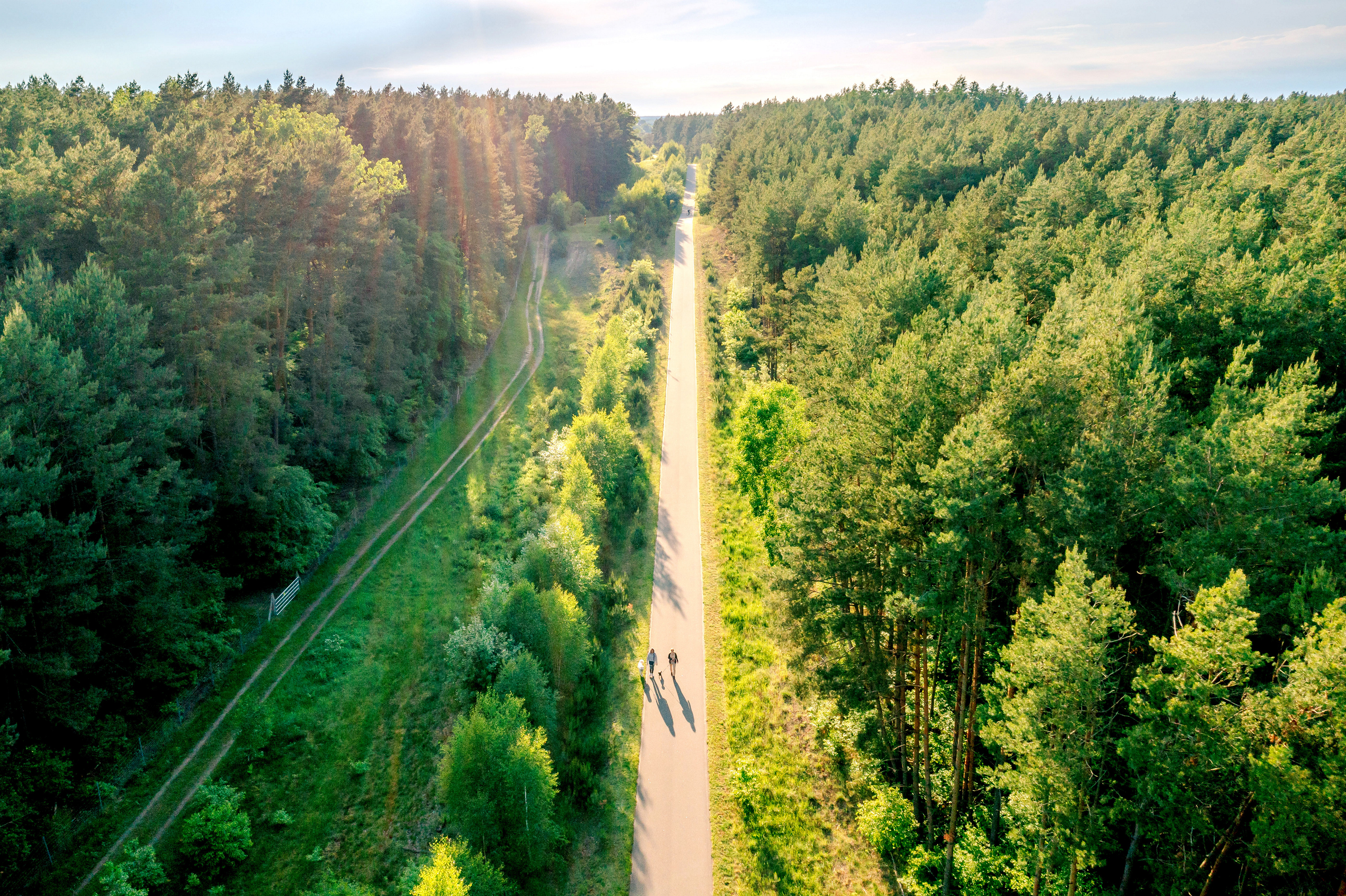
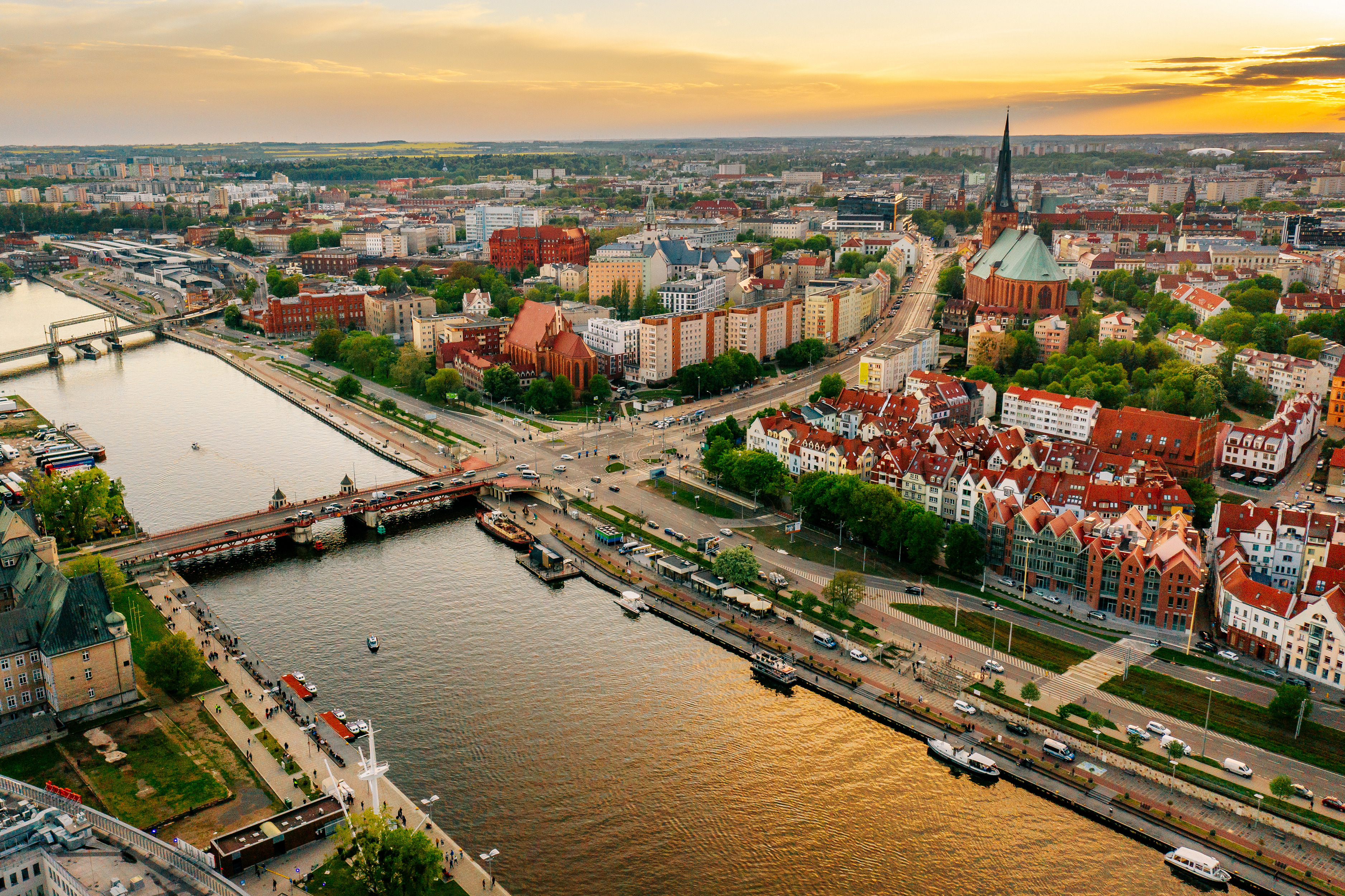
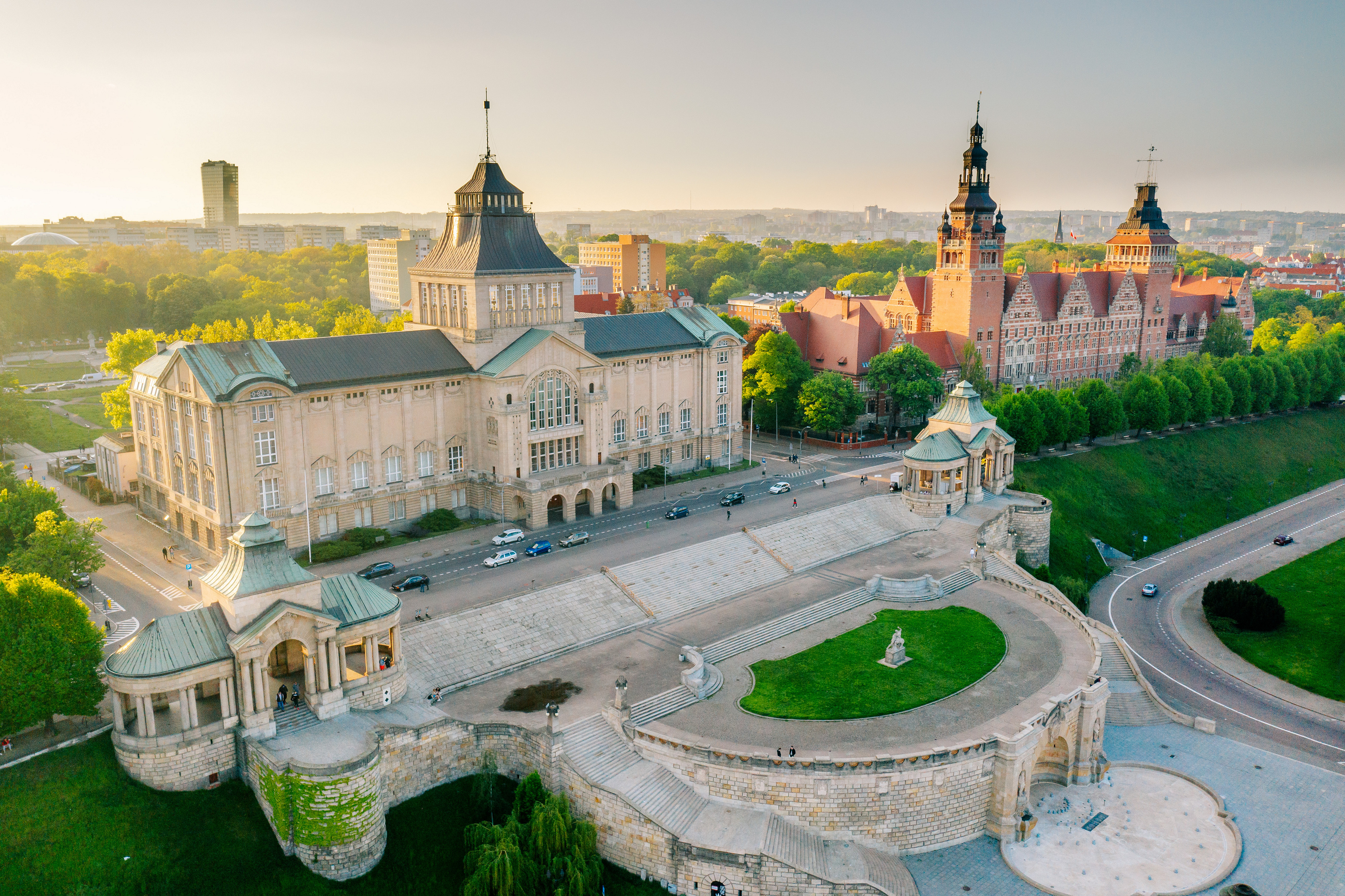
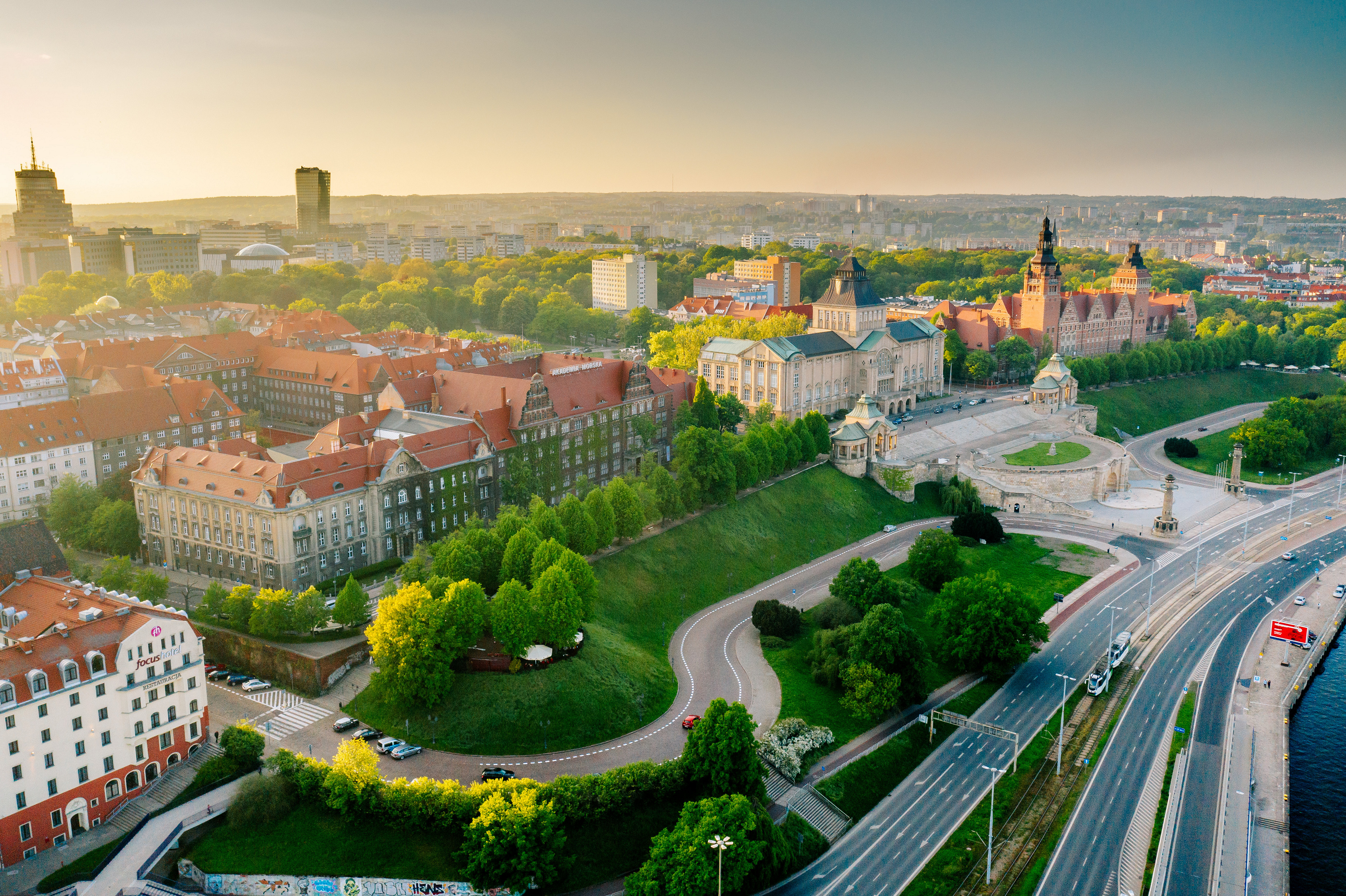
The start of the R20A variant is located on the Polish-German border, between the towns of Blankensee and Buk. The route follows bike paths through this area, and full signage is planned for 2026. Thanks to the well-developed cycling infrastructure, we enter Szczecin from the northern side of the city. Then, passing through its most interesting areas, we head toward the eastern bank of the Oder River.
The next section runs alongside the exceptionally charming “Puszcza Bukowa” Landscape Park. Toward Stargard, cyclists can use both dedicated bike paths and quiet forest trails, which allow them to enjoy being close to nature. The Stargard–Ulikowo section is currently in the design phase, so please use the designated detour shown on the map.
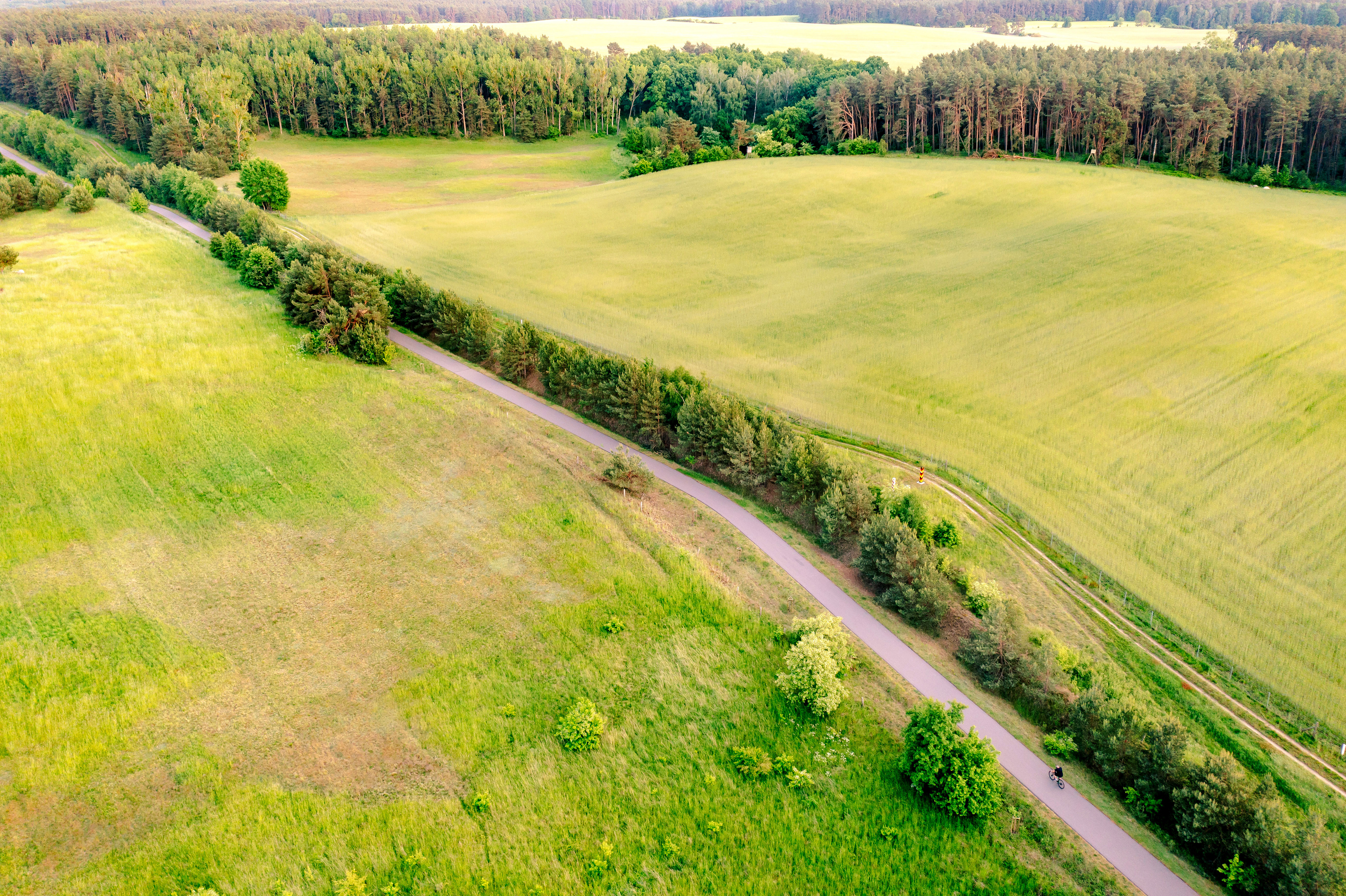
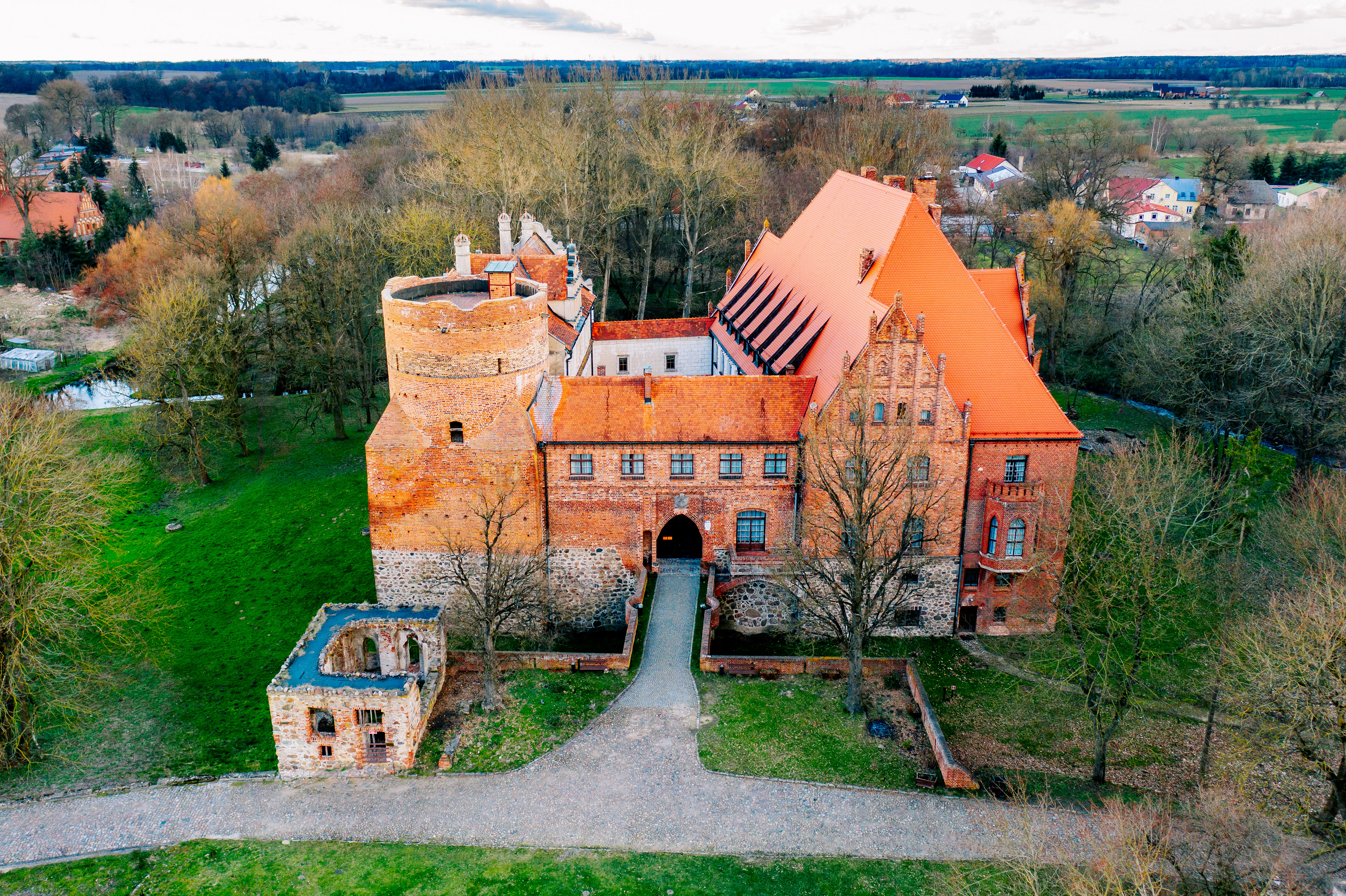
Beyond Ulikowo, the route follows local roads with light traffic. Along the way, it’s worth stopping at the impressive castle in Pędzin, one of the region’s most fascinating historical sites. In Marianowo, the trail takes cyclists onto a brand-new bike path following the route of a former narrow-gauge railway. This is an exceptionally picturesque section of the route, leading all the way to the village of Kozy, where the R20A branch joins the main Western Lake District Trail.
From here, you can continue your journey northeast toward Ińsko and Szczecinek, discovering more lakes and forested landscapes of the region, or head in the opposite direction toward Choszczno and Siekierki.
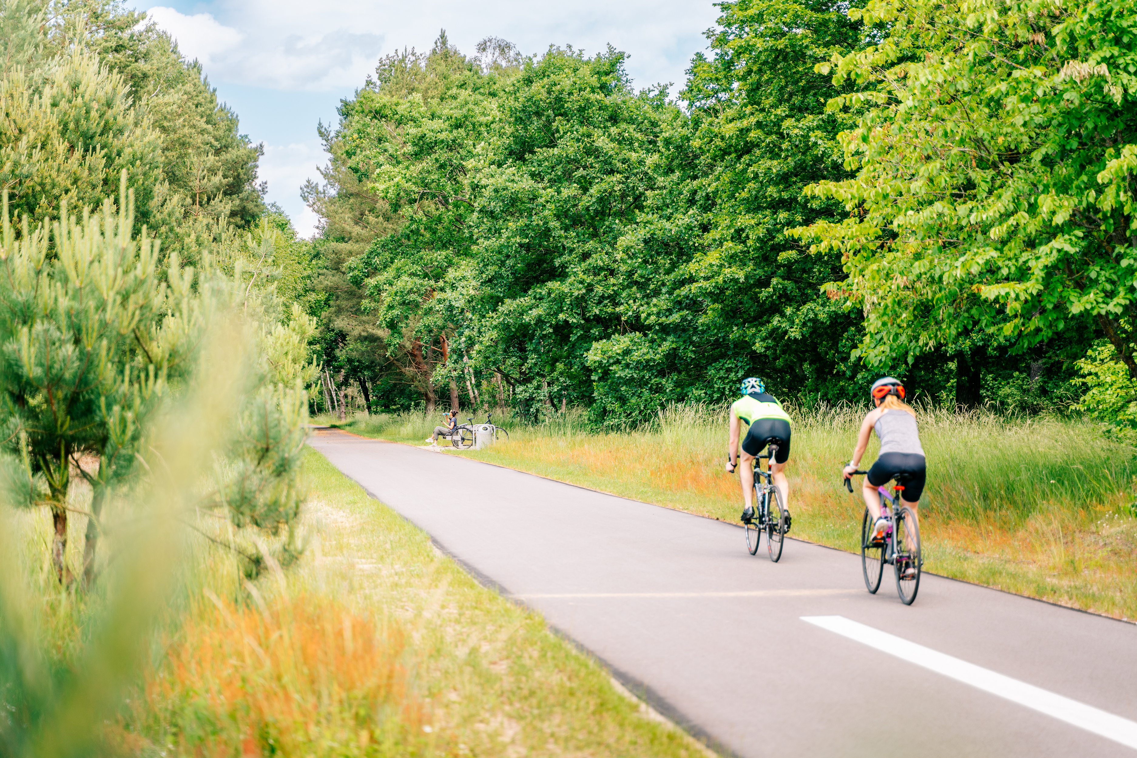
The route is mostly paved, ensuring a comfortable ride. However, there are some forest and gravel sections in places, so we recommend trekking, gravel, or mountain bikes. Due to the nature of the terrain, the route is not the best choice for road bikes.
Currently, the trail is marked only on select sections, so we encourage you to use navigation, such as the “Pomorze Zachodnie” app. The sections that are already marked can be easily identified on our map. This will allow you to plan your trip without any trouble and fully focus on discovering the charms of the Western Lake District.
Surface: asphalt 94 km (86%), paving stones 3 km (3%), gravel/unpaved 12 km (11%).
Traffic type: separated traffic (cycle paths, shared pedestrian and cycle paths, service roads) 75 km (69%), mixed traffic on public roads 28 km (26%), forest/agricultural roads 6 km (6%).
 marked
  unmarked
  Asphalt / concrete cube
  Gravel
  Asphalt / concrete cube
  Gravel
  Currently designed / under construction
  Heavy car traffic
  Rough / dirt road