 Routes and trips
 Map
Map MPR - cyclist-friendly places
 POI
POI Plan your trip
 Bike counters
 Publications
 News
News Route concept
 Contact
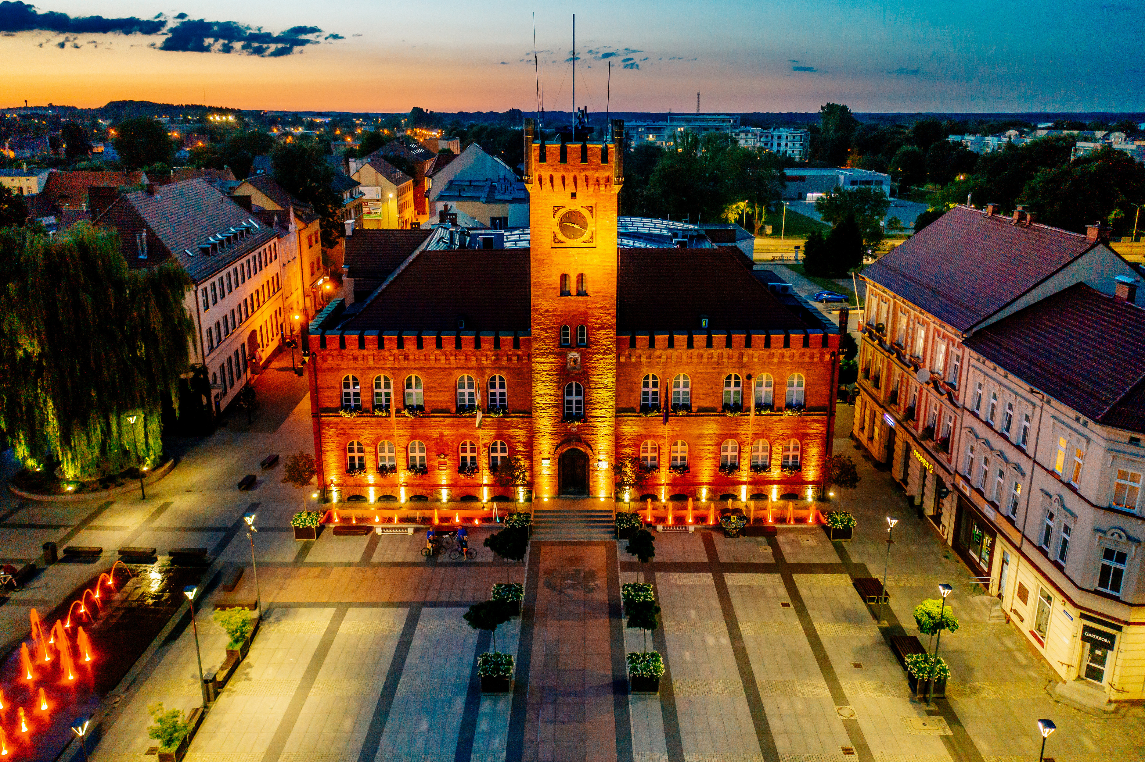
Stage VI: Szczecinek – Biały Bór – Miastko [54 km]
The route between Szczecinek and Miastko is passable.
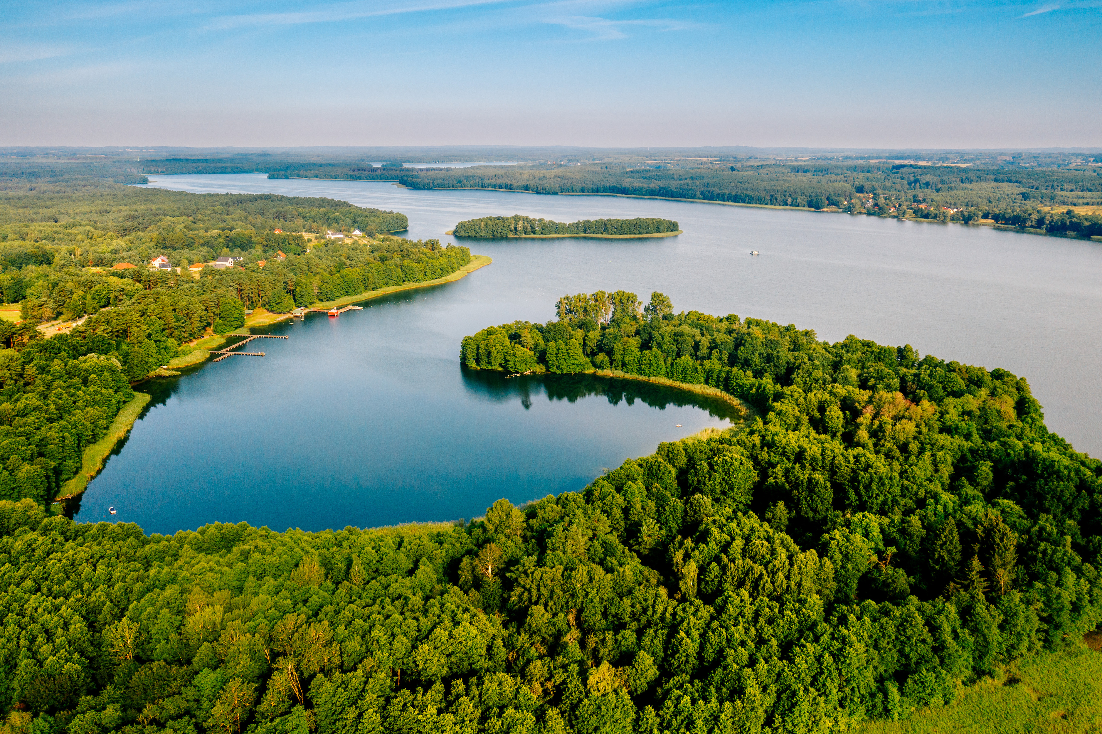
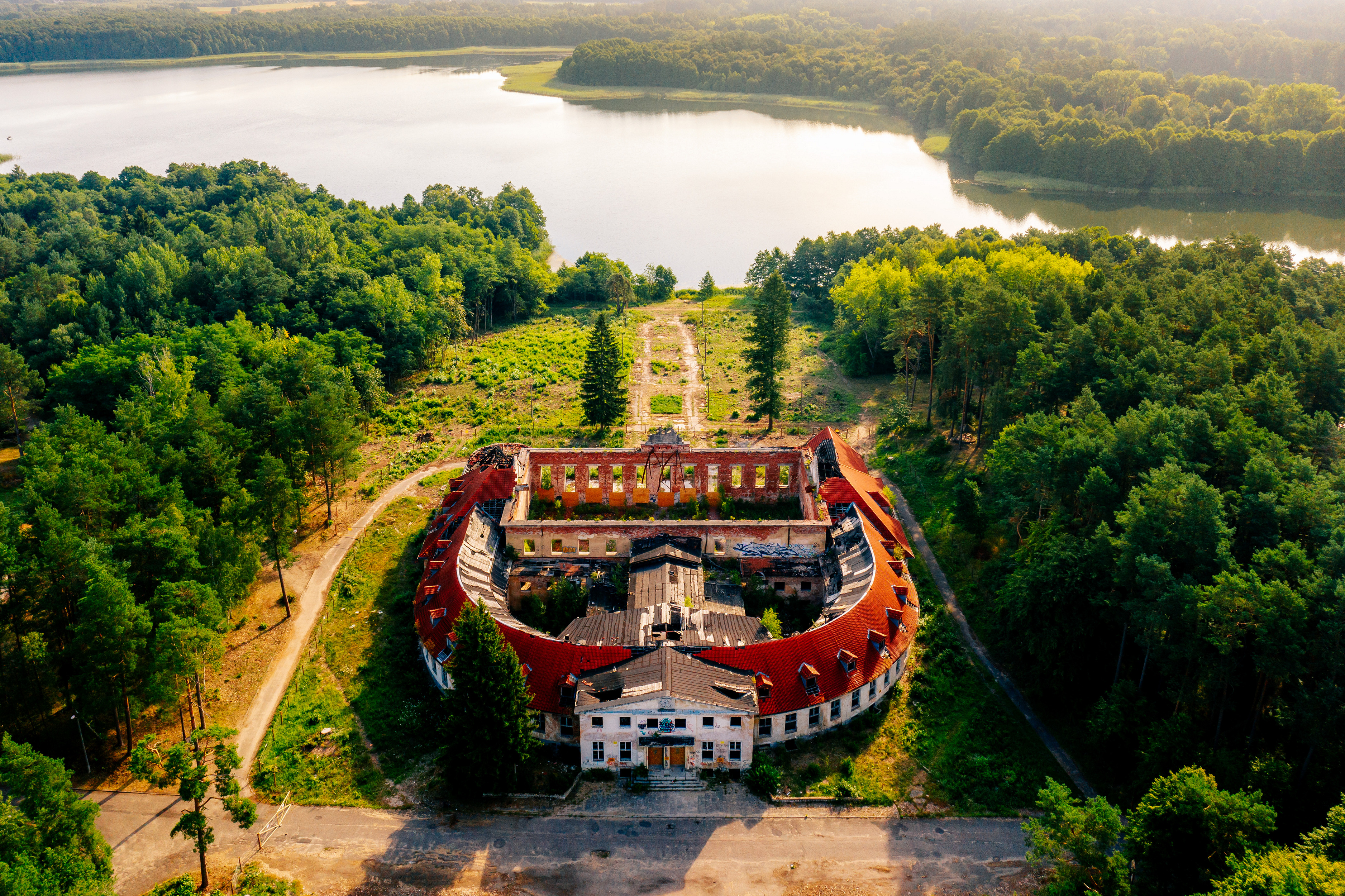
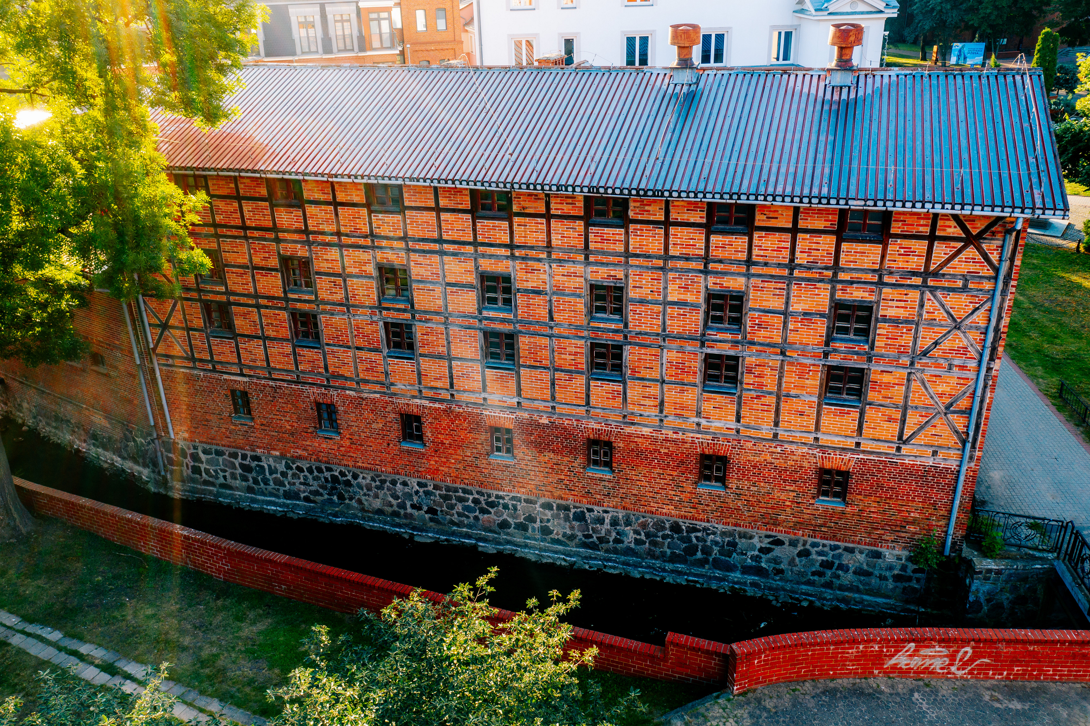
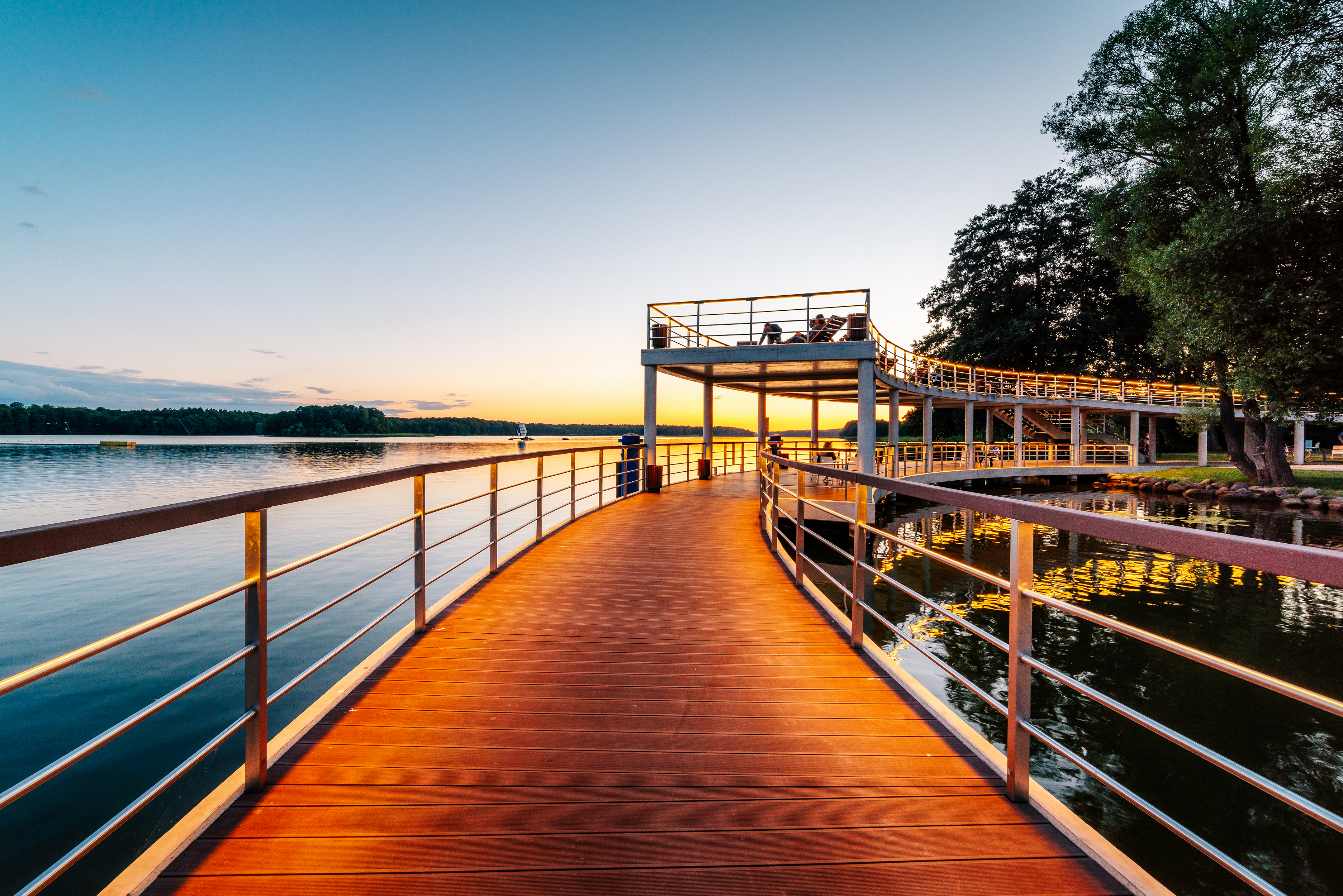
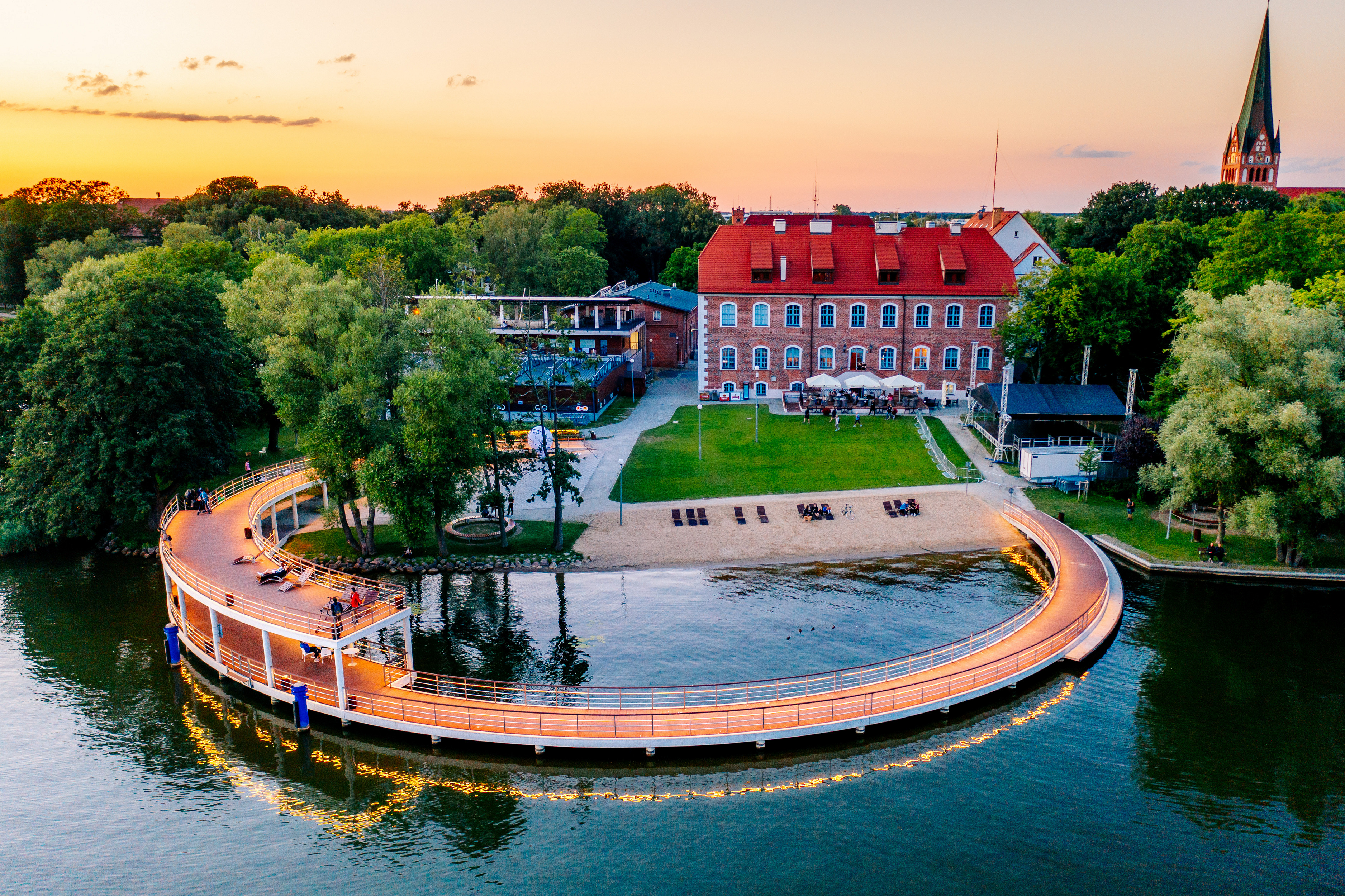
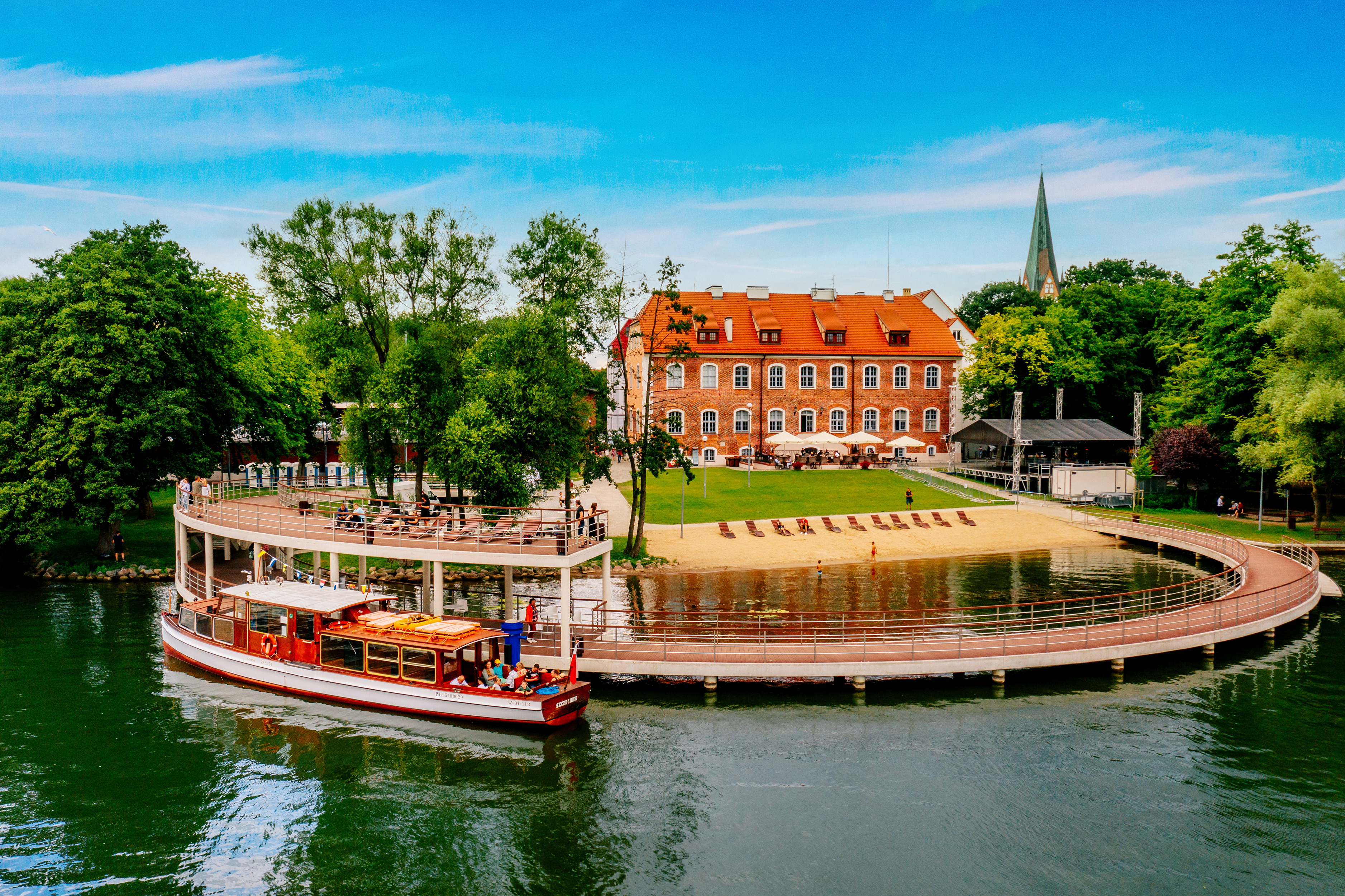
This section runs through the Szczecinek Lake District, the fifth on our route. In Szczecinek, it is worth stopping at the seat of the Pomeranian dukes. Although it may not look like a castle, the oldest wing dates back to the 15th century. After renovation, the building serves as a conference center, but you can try the cuisine in the castle restaurant or view it from an intriguing, multi-story, circular platform. Water trams dock here, and if you want to take a break from pedaling, Europe's longest water ski lift is right next door.
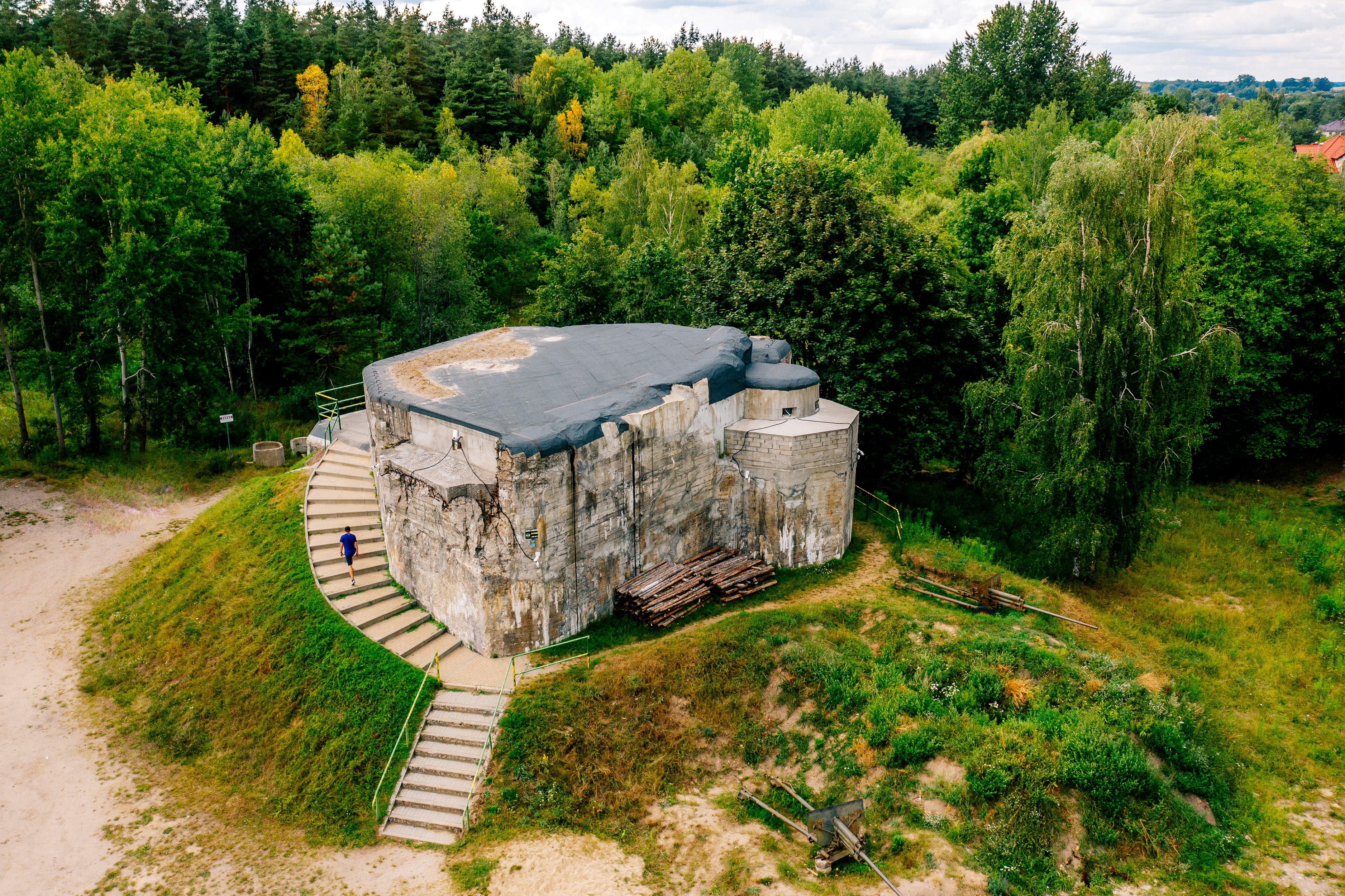
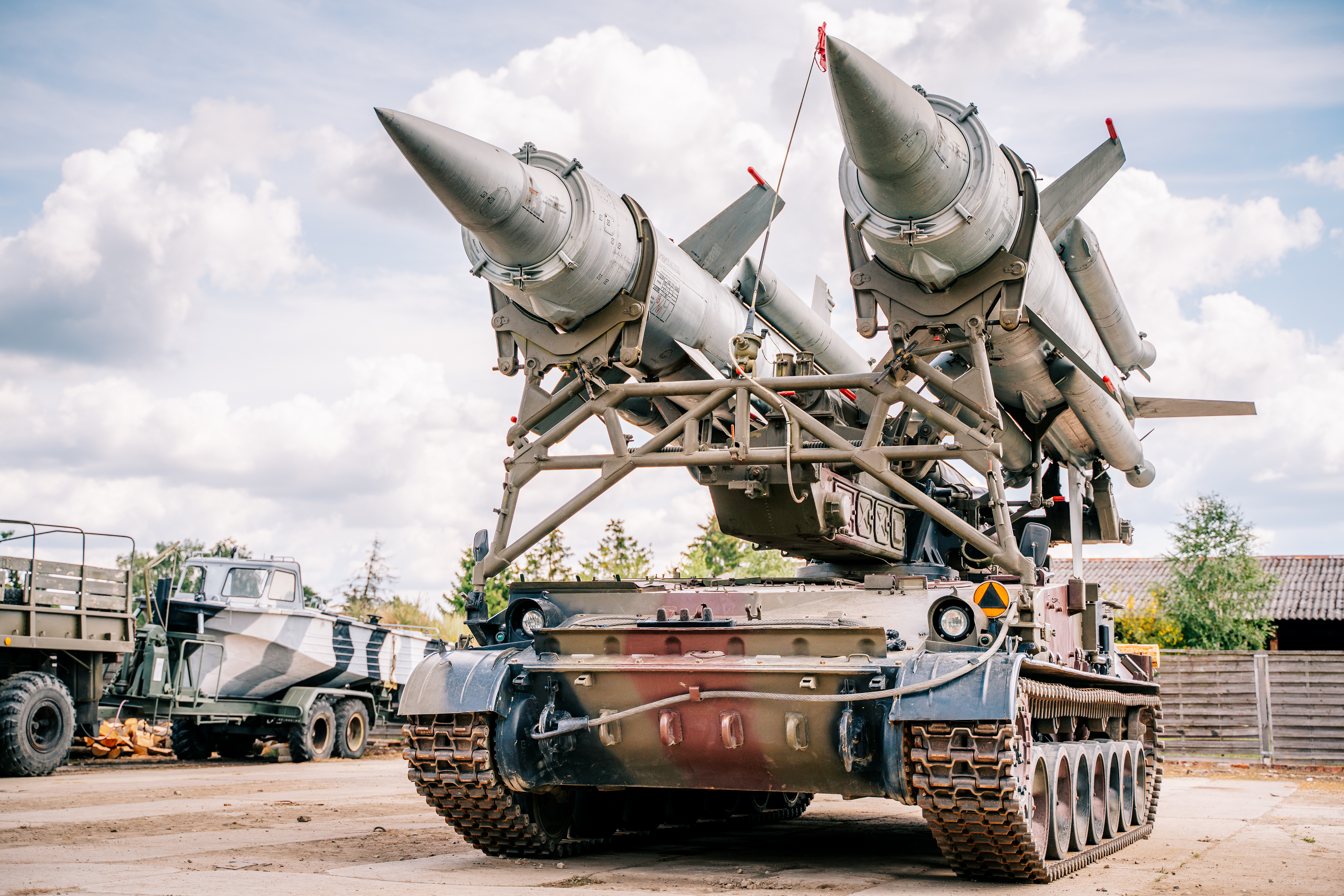
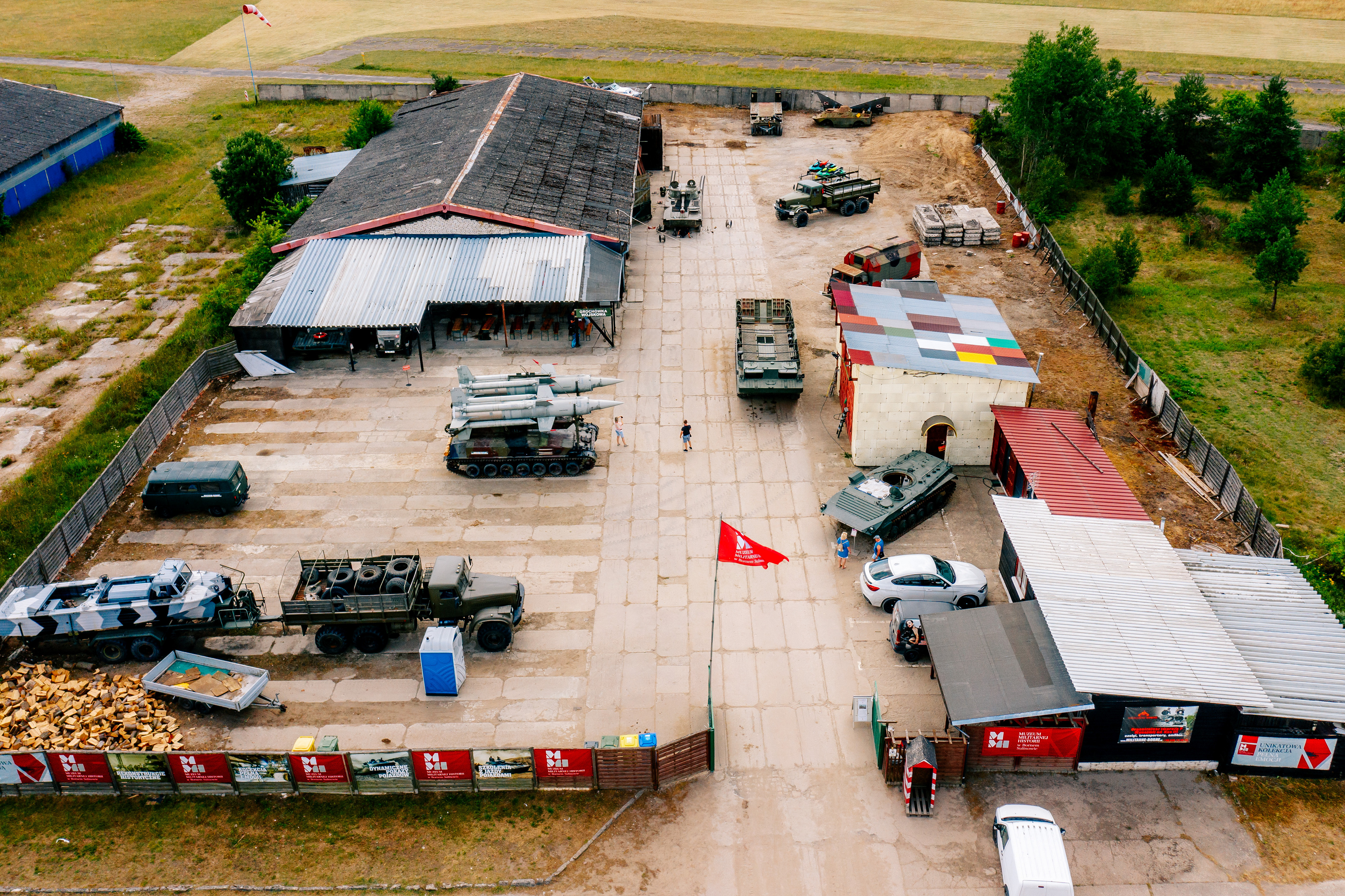
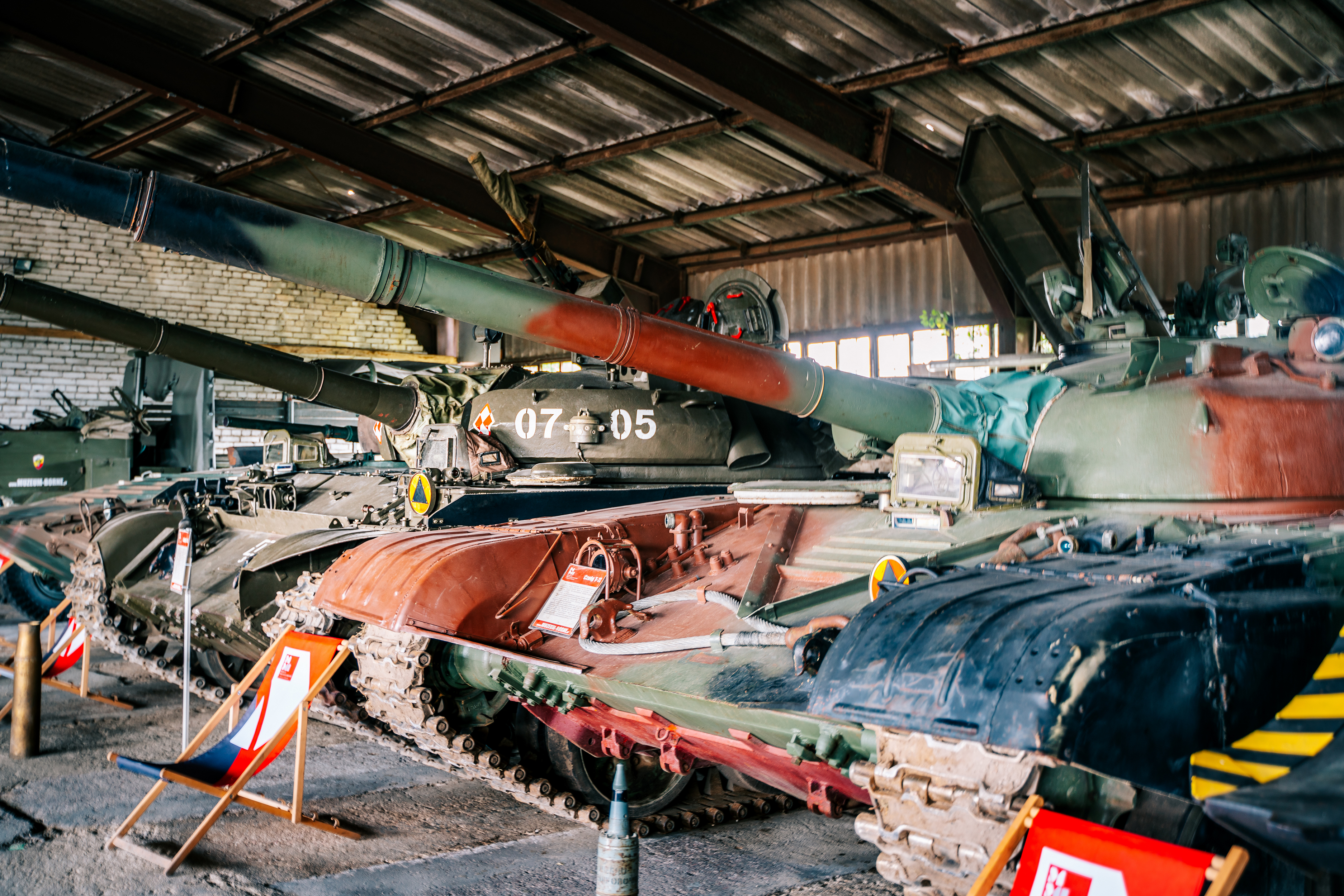
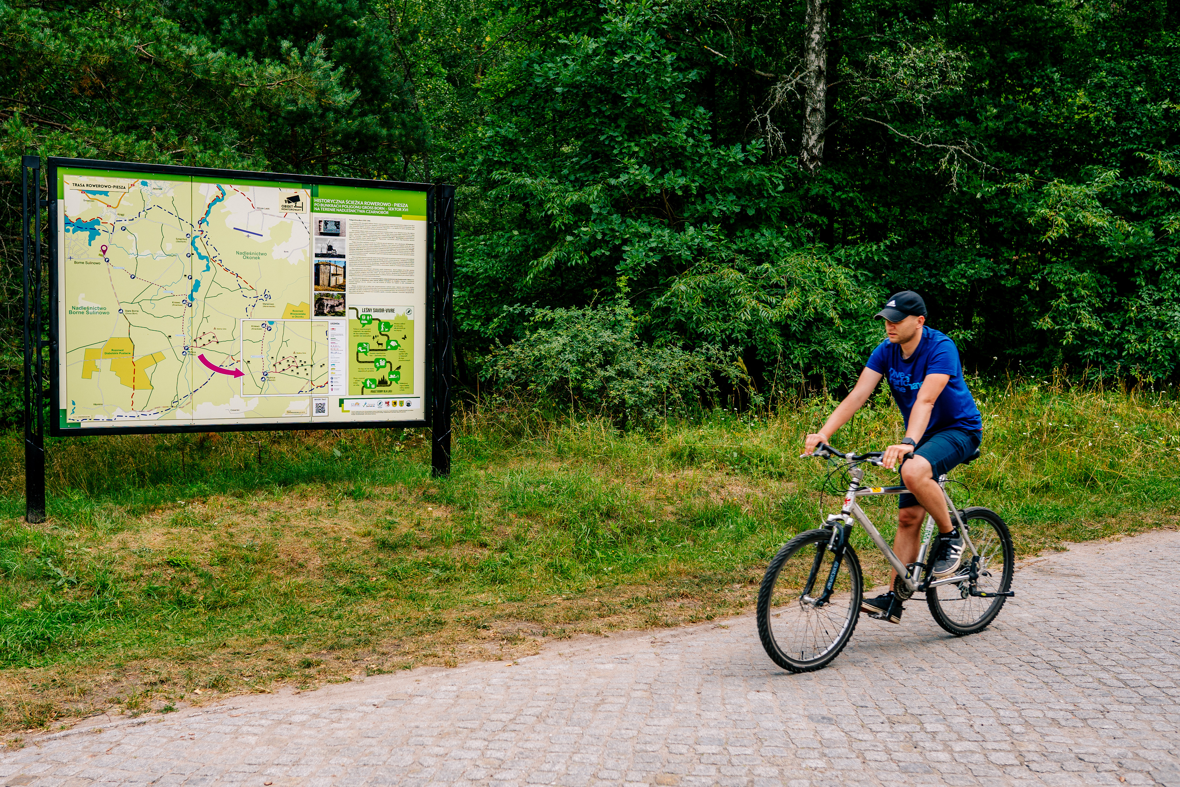
Leaving Szczecinek by local road, we pass the fortifications of the Pomeranian Wall, led by B-Werk - one of the largest bunkers in the entire fortification system. Continuing on, we can take a few kilometers detour to see the "Bagno Kusowo" Reserve, the best-preserved dome-shaped peat bog in Poland. Covered with swamp forest and sphagnum moss, the bog can be viewed up close thanks to wooden footbridges.
The last West Pomeranian town on the trail is "little Ukraine," or Biały Bór, also surrounded by the fortifications of the Pomeranian Wall. Ukrainians were forcibly resettled here from southern Poland as part of Operation Vistula. Almost completely destroyed during the war, the town experienced an almost complete population change, with Ukrainian speakers making up one-third of the new settlers. The situation was similar in the surrounding villages. It is therefore not surprising that Biały Bór became a center of Ukrainian culture, and its cultural identity survived communism. Today, there are schools here where Ukrainian is the language of instruction, and a monument to Taras Shevchenko stands in front of the entrance. However, the most interesting attraction of the town is the Greek Catholic church designed by Jerzy Nowosielski, one of the most outstanding Polish artists of the 20th century, in collaboration with Bogdan Kotarba. The structure and interior of the church do not resemble a traditional temple in any way, although at the same time they adhere to the canon. The artist planned the building as a painting - the work of his life. This is the impression - of being inside a work of art - that visitors to the Church of the Nativity of the Most Holy Mother of God have. In 2006, it was included in the list of the 20 most important architectural objects of the Third Republic of Poland.
Right next to Biały Bór, the Pomeranian Sand Mountain rises to a height of 245 m above sea level, made up of 8 million tons of sand from mineral aggregate extraction. Contrary to some sources, it is not the highest elevation in the West Pomeranian Province. This title is proudly held by Góra Krajoznawców (247.5 m above sea level), located 6 km away in a straight line. There are no trails leading to it, especially bicycle trails, but since it is located right on the border of the province, we can symbolically consider it the end of the Western Lake District Trail.
Transport: PKP railway stations are located in Szczecinek (on the Szczecin - Szczecinek - Słupsk/Chojnice/Piła line) and Biały Bór (on the Szczecinek - Słupsk line). Connections are operated by POLREGIO and Intercity. The timetable can be found at https://portalpasazera.pl
Surface: asphalt 80%, aggregate 13%, cobblestones 4%, dirt roads 3%.
Type of traffic: bicycle paths 4%, general traffic 78%, forest/field roads 18%.


