 Routes and trips
 Map
Map MPR - cyclist-friendly places
 POI
POI Plan your trip
 Bike counters
 Publications
 News
News Route concept
 Contact
The "Canal and Industry" theme route from the Berlin Center for Industrial Culture!
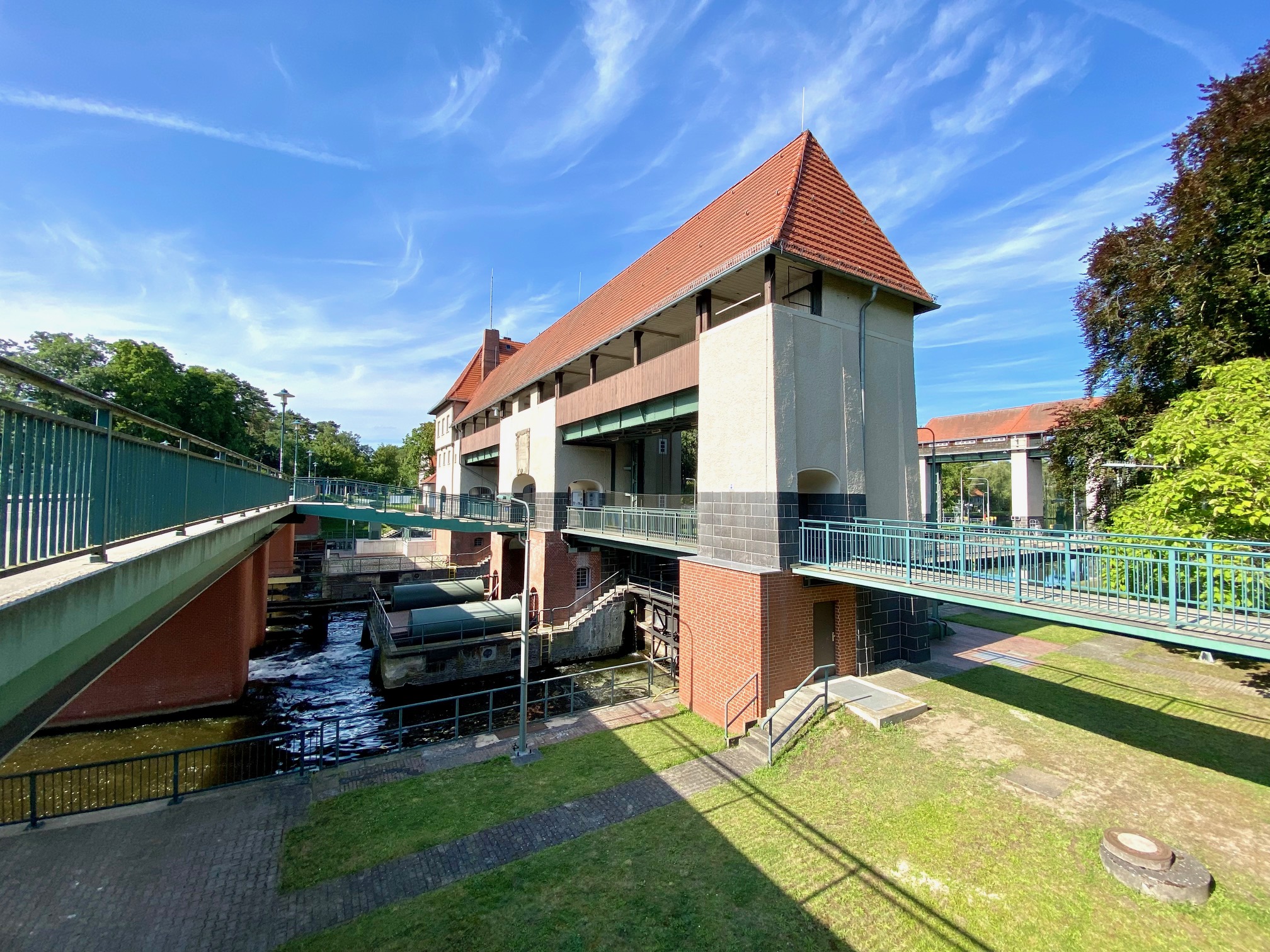
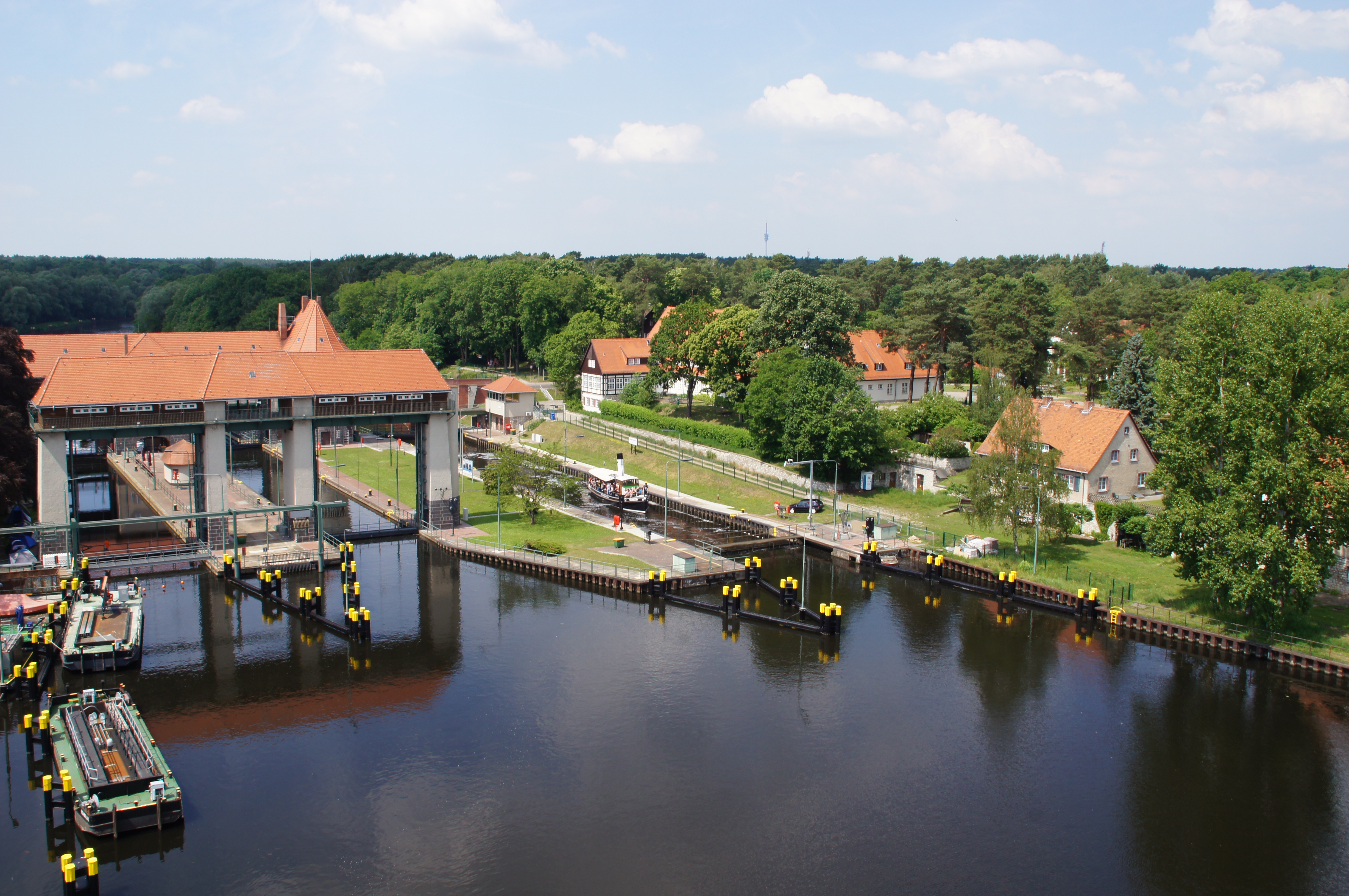
On June 2, 1906, the imperial yacht Alexandria sailed out of the Machnow lock: Emperor Wilhelm II opened the new Teltow Canal. The construction of the century was driven forward by the Teltow district administrator Ernst von Stubenrauch. He had to find a solution for the rising water levels in his district. Engineers therefore cut the canal deep into the terrain. At the same time, with the construction they were realizing decades-old plans for a southern bypass of the Berlin shipping canals.
The 39-kilometer-long canal connects the Havel in the west with the Dahme and Spree in the east. The larger of the 15 port facilities are connected by their own industrial railways. Modern trams run over many of the 55 canal bridges. No waterway before has been so comprehensively electrified. The canal power stations also supply the new commercial settlements. Attractive conditions for the booming Berlin industry, which can no longer grow in the densely populated city center. Companies in optics and precision mechanics, and later also electronics and communications technology, settled here, as did chemicals and automation technology. During the National Socialist era, many companies participated in the crimes of forced labor.
The canal, on whose banks a common Brandenburg-Berlin industrial landscape emerged at the beginning of the 20th century, divided the two German states for 40 years during the Cold War. Today it once again connects historical and new industrial landscapes.


