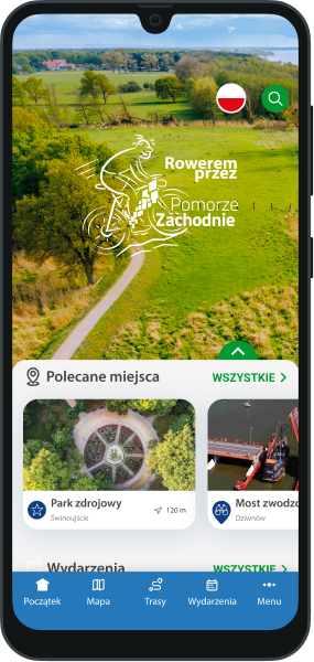
 Routes and trips
 Map
Map MPR - cyclist-friendly places
 POI
POI Plan your trip
 Bike counters
 Publications
 News
News Route concept
 Contact
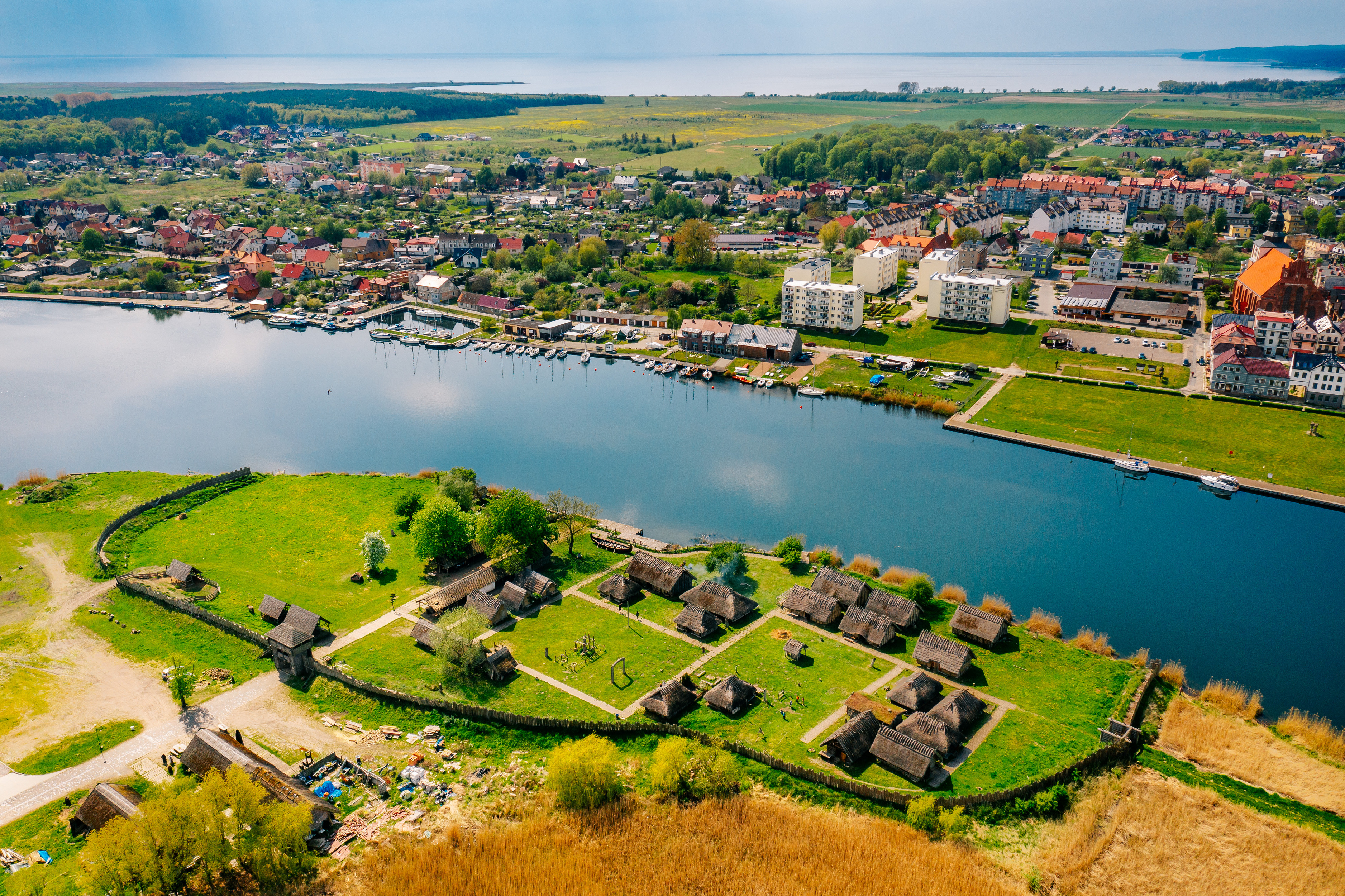
Stage I: Świnoujście – Wolin [38 km]
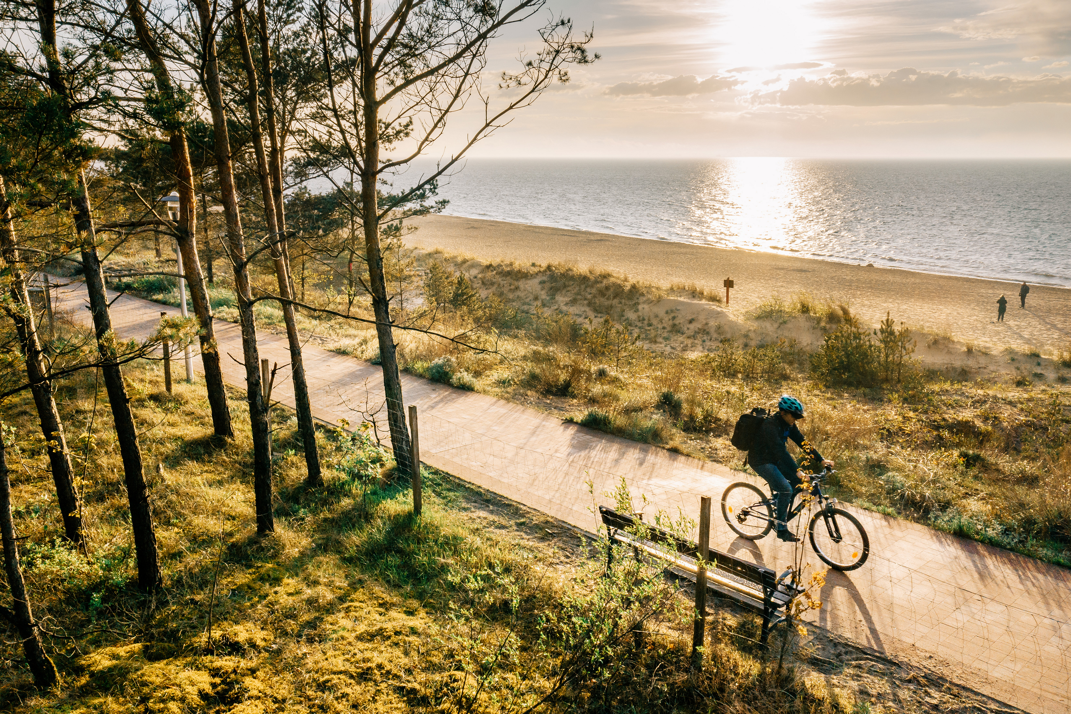
The Świnoujście-Międzyzdroje section currently runs along forest paths with varied surfaces.
"From Szczecin on the Baltic to Trieste on the Adriatic, an iron curtain has descended across our continent," said Winston Churchill in his famous speech, symbolically marking the beginning of the Cold War. It is strange that the British Prime Minister clearly did not pay attention in geography class, because every student knows that Świnoujście is a Baltic port. And it is through this city that the longest European cycle route runs - the Iron Curtain Trail (EV13). The West Pomeranian section of this route is Velo Baltica, which is also part of the European Baltic Sea Route (EV10). We are heading south, and Blue Velo is a project that aims to become Poland's competition for the above-mentioned routes.
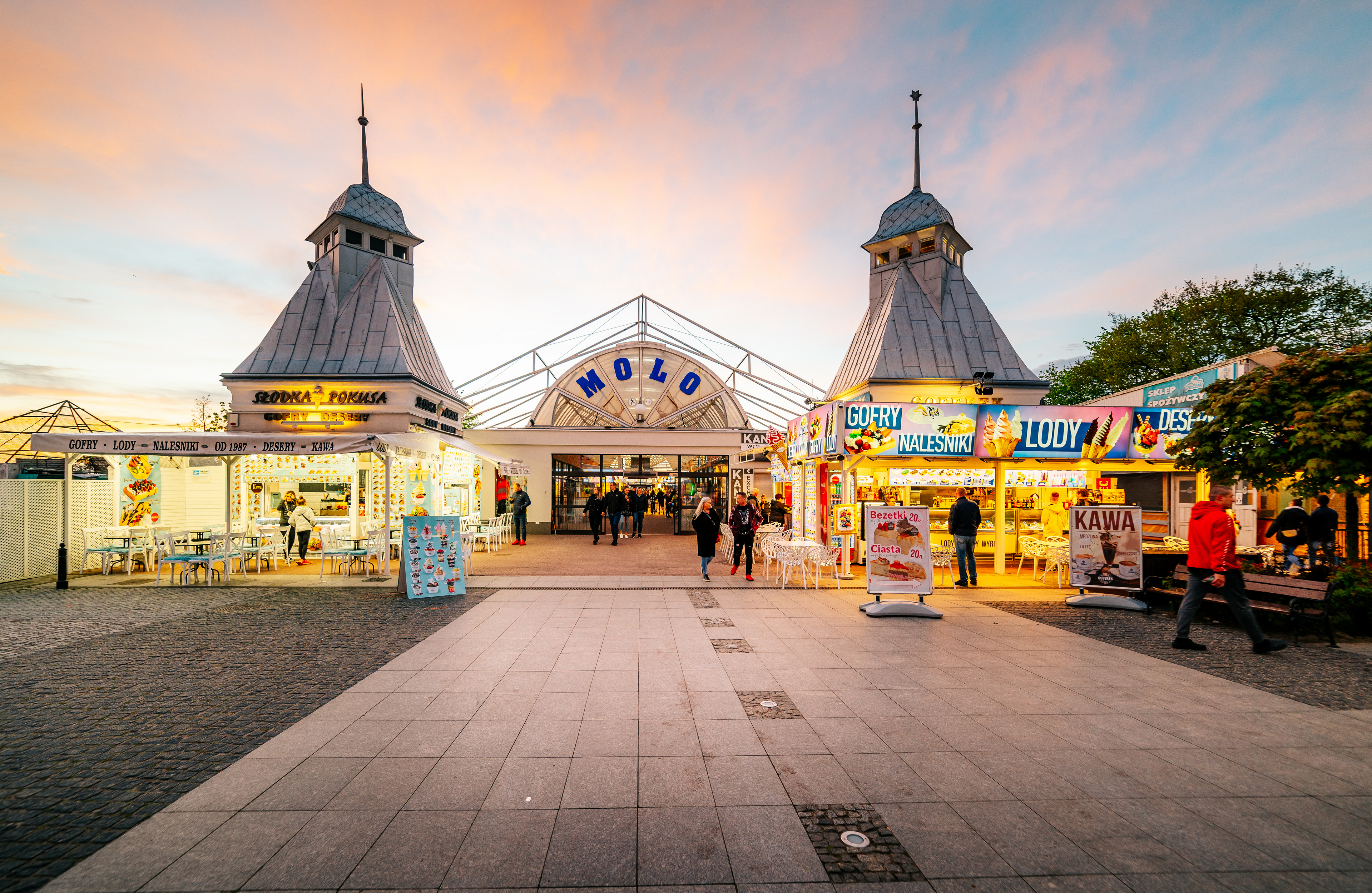
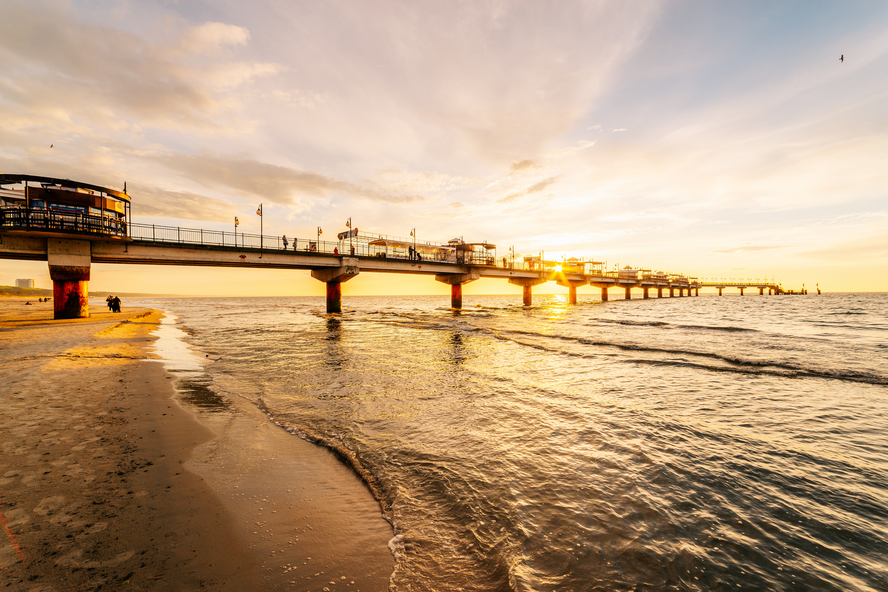
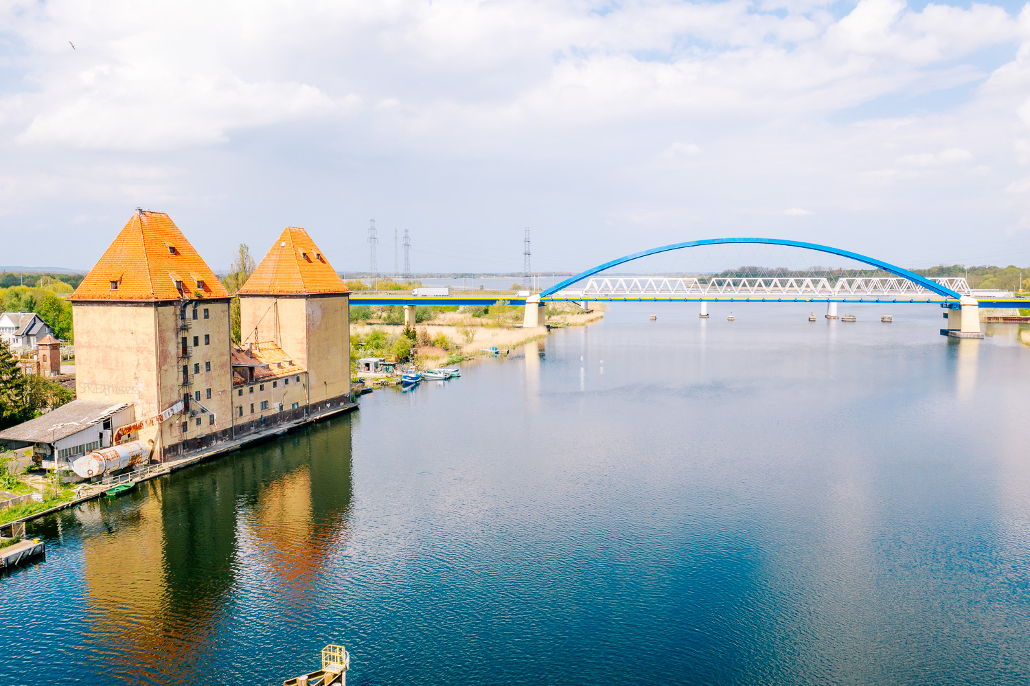
Świnoujście has monuments from the time when it was on the worse side of the Iron Curtain, such as the Underground City, which has recently been opened to the public (described in more detail on the Szczecin Lagoon Trail), but even more military structures remember the Prussian times. The most interesting is Fort Gerhard, where tourists not only visit the fortifications, but also undergo drill and can see a cannon shot. Right next to it, the tallest lighthouse in Poland shoots up, from which you can see the latest achievement in the field of defense, this time in the field of energy - the LNG terminal. On the other side of the Świna River, next to the spa park, is Fort Anioła. The name refers to the Castle of the Holy Angel in Rome, which, like the one in Świnoujście, has a circular shape.
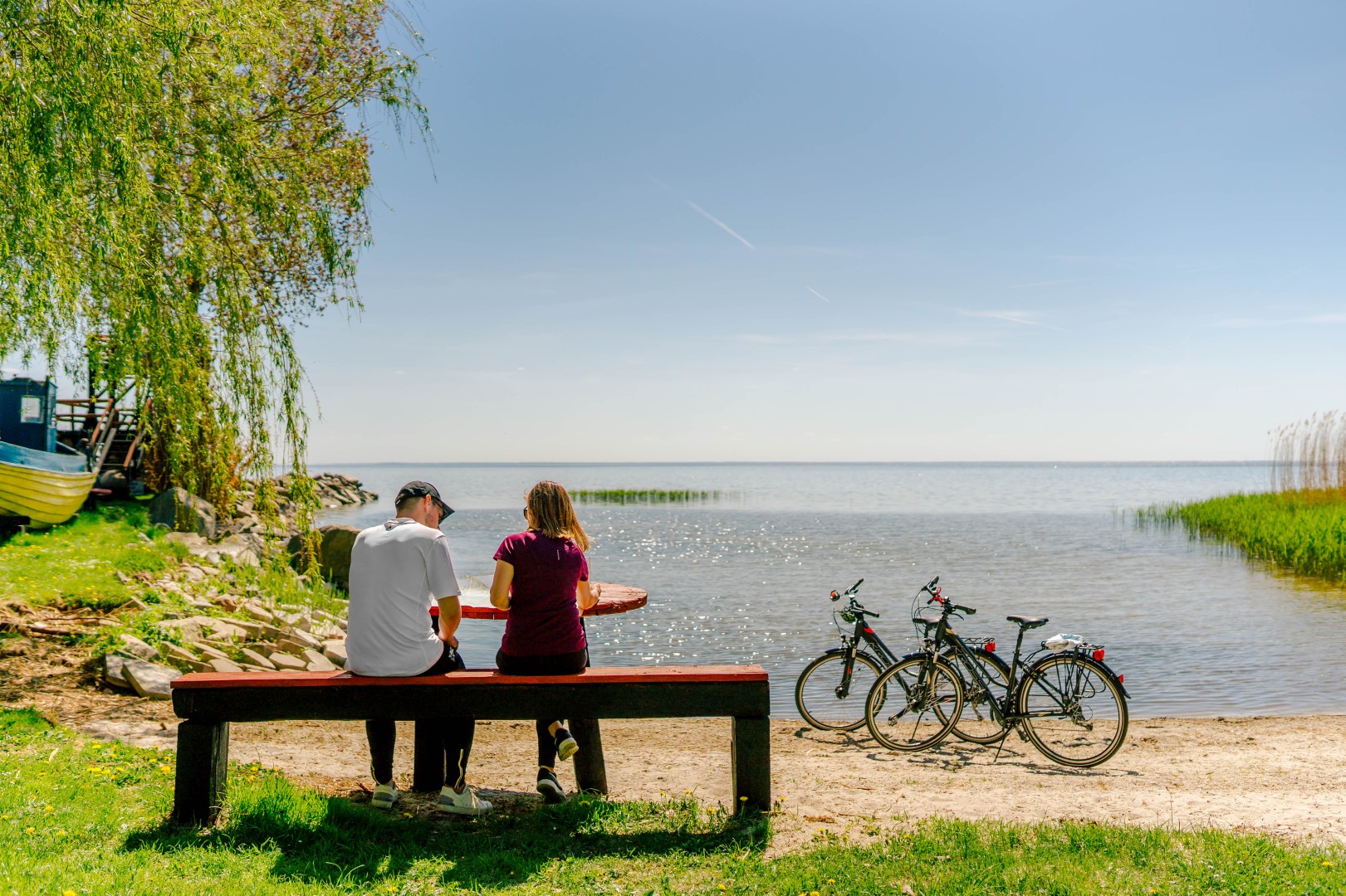
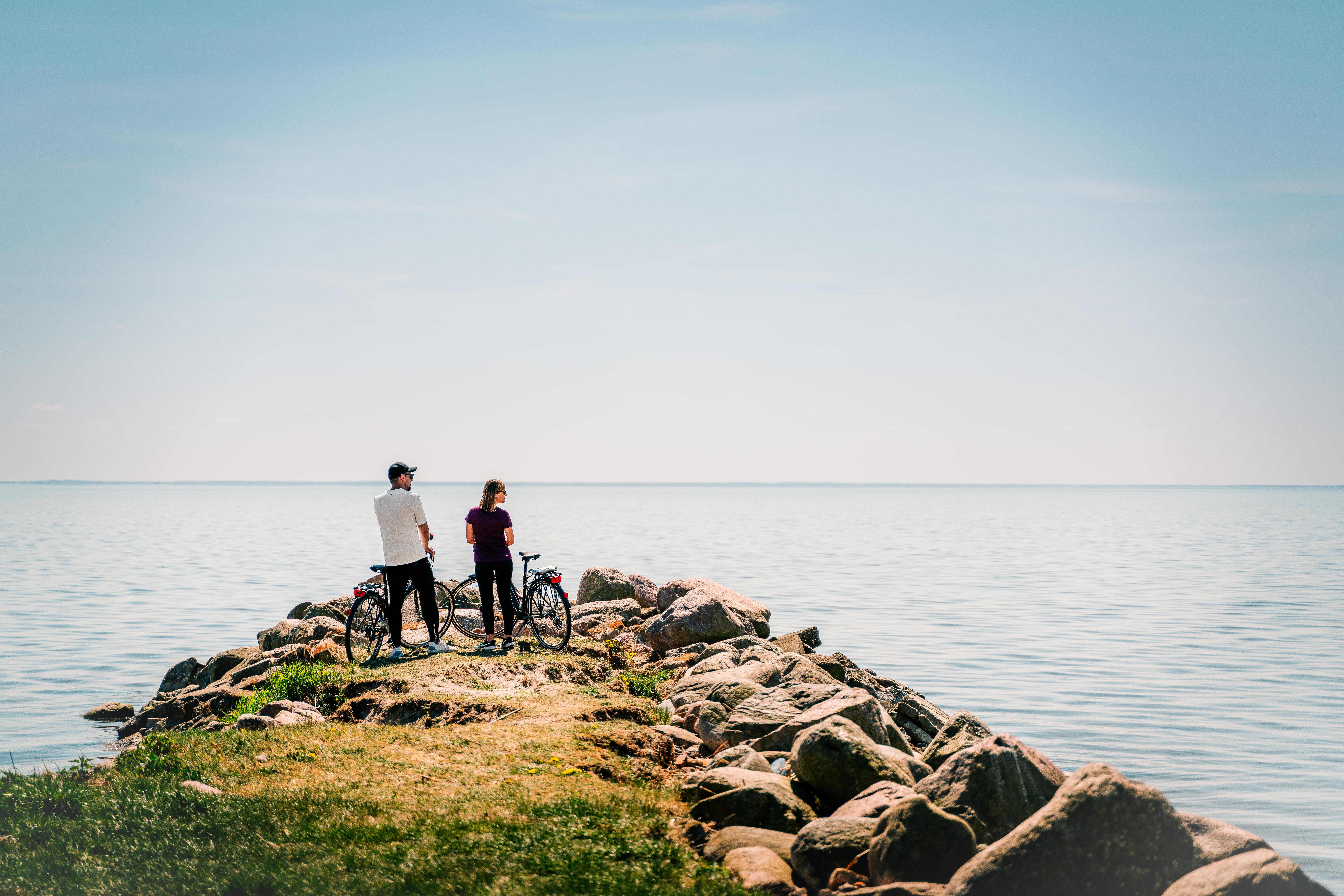
On the Świnoujście-Międzyzdroje section, our route coincides with the EuroVelo 10 and 13 routes mentioned at the beginning. The stage to Międzyzdroje consists largely of forest dirt roads, approaching the beach before the town. This section is marked in the field as the R-10 trail. The section from Międzyzdroje through Wapnica to Wolin has already been completed and marked, running along separate bicycle paths, local roads, and gravel sections.
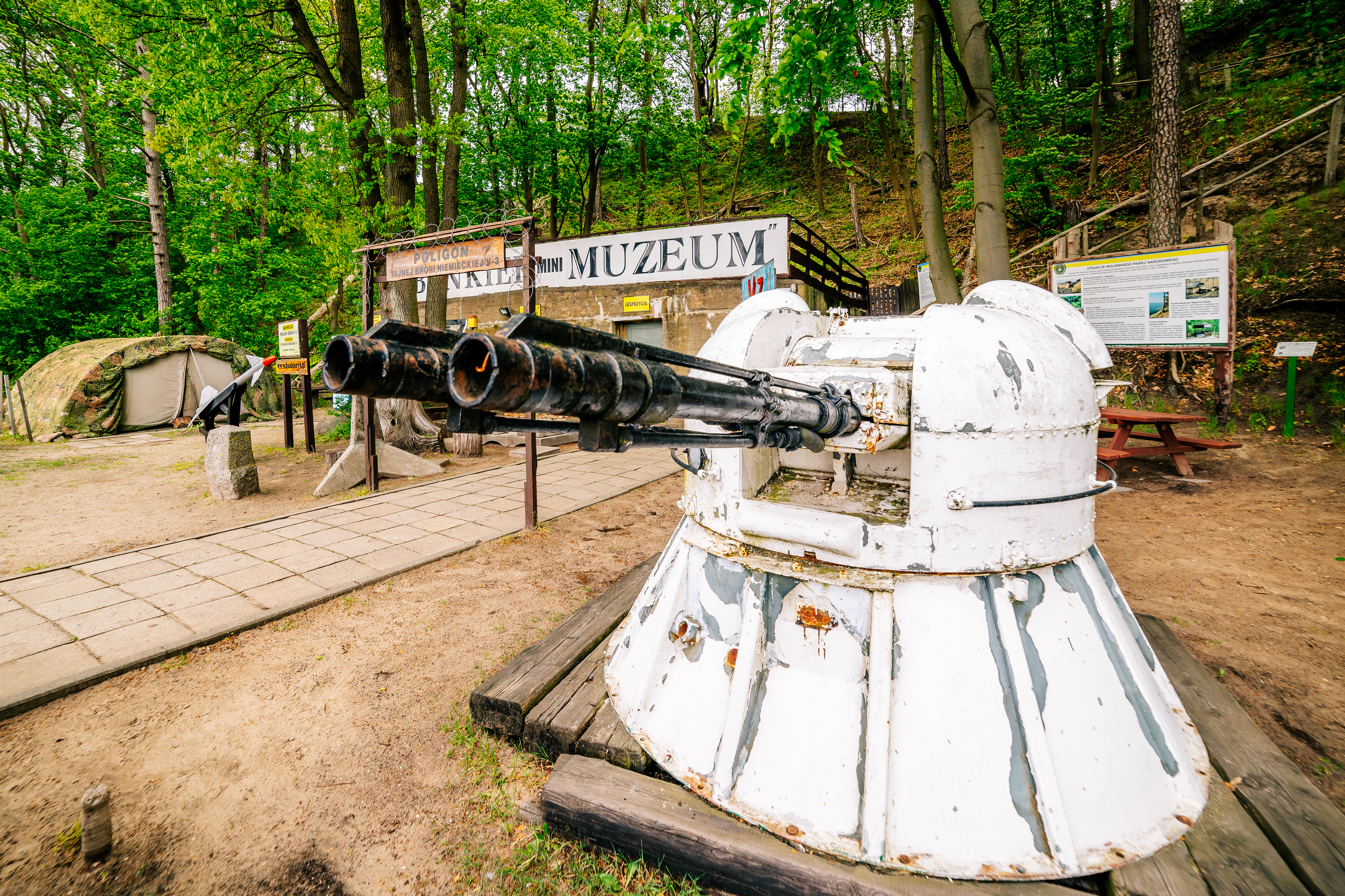
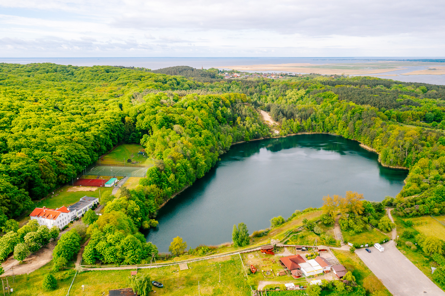
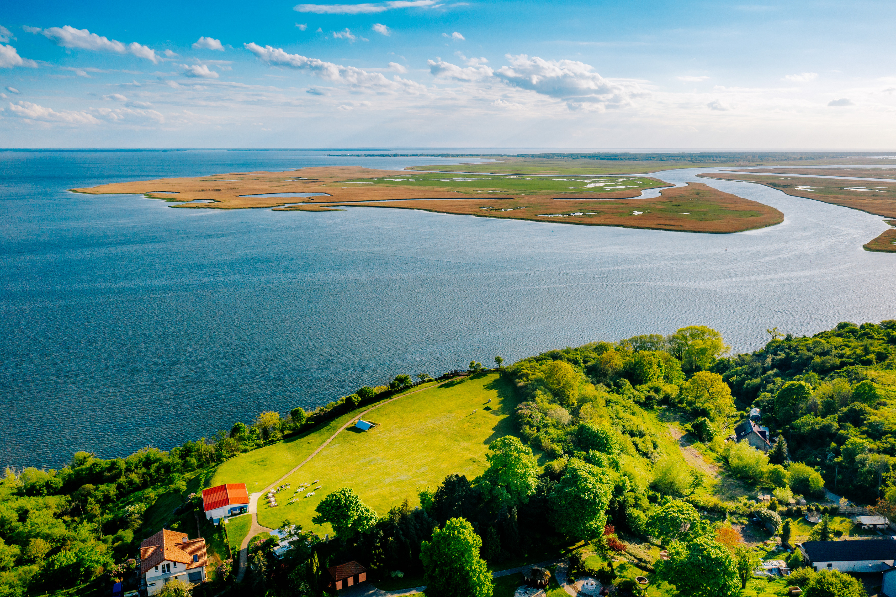
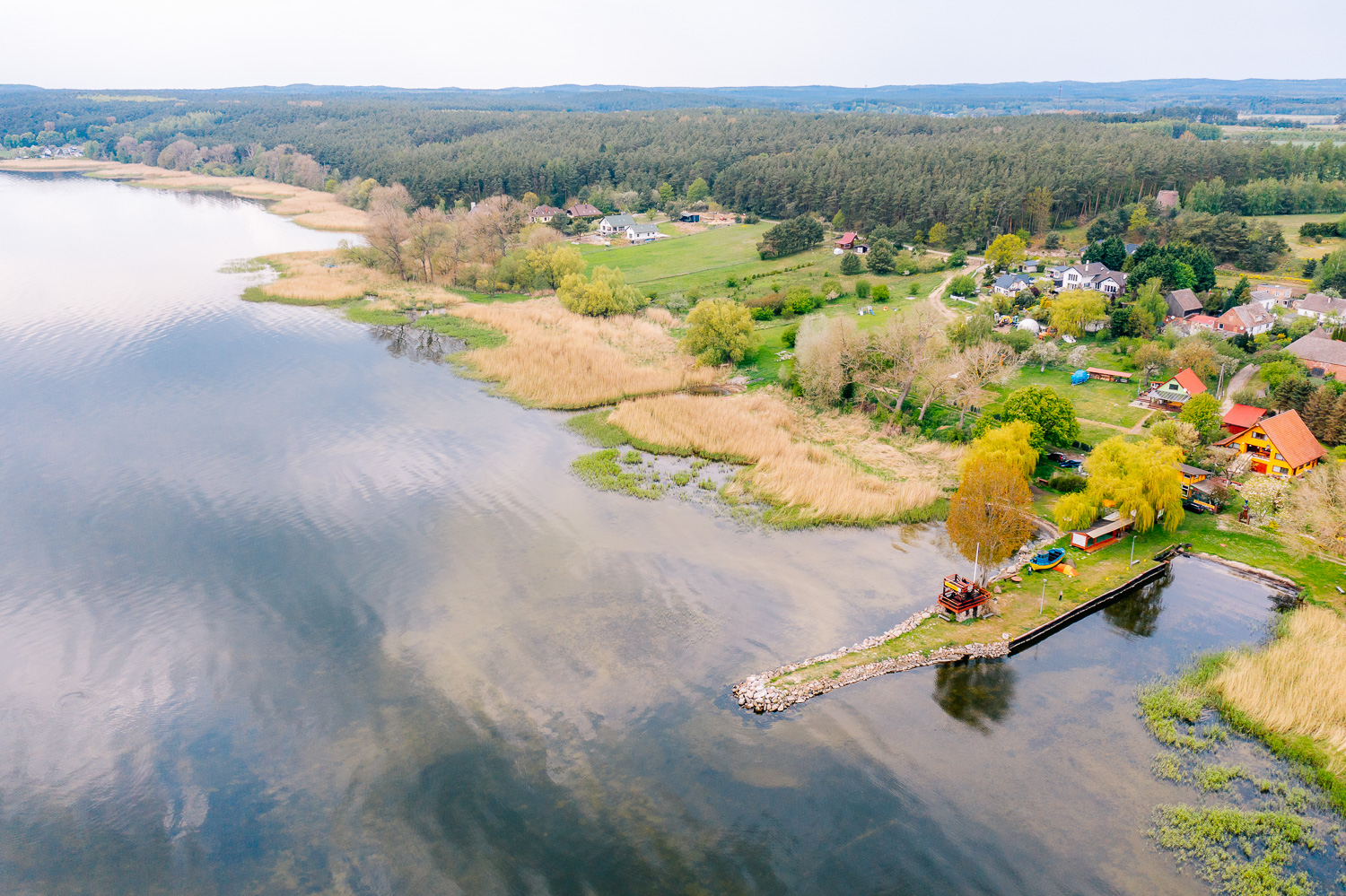
On the way, we pass another interesting military site: a mini museum - the V-3 Weapons Training Ground, known as the longest cannon of World War II. The next stop is Wapnica with its turquoise lake. We recommend driving 2 km uphill to Lubin, where there is an observation deck in a 12th-century settlement. From here, there is a fantastic panorama of the Lagoon and the reverse delta of the Świna River. On the other side lies the Karsiborska Kępa nature reserve. It is one of the first reserves in Poland established by a non-governmental organization (the Polish Society for the Protection of Birds), and the meadows overgrown with low reeds are home to several percent of the world's population of the aquatic warbler, a rare migratory bird. The road to Wolin leads through the Wolin National Park, which covers not only the area around Międzyzdroje, but also the islands around Lake Wicko. The WNP protects the valuable landscape of the island with its forests and cliffs, as well as birds, including the white-tailed eagle, which appears in the park's emblem.
Transport: the railway stations in Wolin, Międzyzdroje, and Świnoujście serve regional and long-distance rail connections from Szczecin and Świnoujście. In addition, there is a Deutsche Bahn station on the left bank of Świnoujście, serving connections from Germany. Ferries run from Świnoujście to Ystad, Trelleborg, and Bornholm. In the summer, ships carrying bicycles run between Szczecin and Świnoujście on weekends.
During the summer holiday season, Polregio trains carrying 30 bicycles (other trains on this route usually carry 7 bicycles) will run on the Szczecin Główny - Goleniów - Wolin - Świnoujście route. The connections are operated by POLREGIO and Intercity. The timetable is available at https://portalpasazera.pl
Surface: bituminous 37%, aggregate 34%, concrete blocks 13%, concrete slabs 9%, dirt roads 7%.
Type of traffic: bicycle paths 50%, general traffic 17%, forest/field roads 33%.


